Hotham in the Domesday Book (1086)
The 1086 Domesday survey records the settlement of Hotham, entered under the hundred of Cave in Yorkshire.
Other Settlements in Cave
- Aughton
- Drewton
- Ellerton
- Everthorpe
- Foggathorpe
- Gribthorpe
- Laytham
- Melbourne
- Seaton [Ross]
- Thornton
- Yokefleet [Grange]
- [East] Cottingwith
- [High and Low] Hunsley
- [Kettle]thorpe
The Meaning of the Name
The name Hotham is of Anglo-Saxon origin. Its final element derives from the Old English word hām, a homestead or village. The first element is most likely a personal name or an early descriptive term, now difficult to recover with certainty. Taken together the name probably meant something close to ‘a homestead’.
Remarkably, the name has changed little since 1086, when the Domesday scribes wrote it as Hotham.
Listed Buildings Near Hotham
Historic England records 18 listed buildings within about a mile of Hotham. Listing protects structures of special architectural or historic interest, graded I (exceptional), II* (particularly important) and II.
Grade II*
- Church of St Oswald - 0.2 km
- Stable Block at Hotham Hall - 0.74 km
- Hotham Hall - 0.76 km
Grade II
- The Old Rectory - 0.15 km
- Wold View - 0.2 km
- Church Farmhouse - 0.2 km
- Lawn Cottage - 0.22 km
- Lawn House and Garden Wall and Gate - 0.22 km
- War Memorial - 0.24 km
- Foxglove Cottage - 0.25 km
- K6 Telephone Kiosk - 0.26 km
- Rectory Farmhouse - 0.27 km
- The Grange - 0.3 km
- Hotham House - 0.32 km
- 30, Main Street - 0.32 km
- Hill House - 0.33 km
- The Bungalow - 0.49 km
- Gates and Gate Piers in Stable Yard at Hotham Hall - 0.73 km
Hotham Today
Today Hotham lies within the administrative area of East Riding of Yorkshire, and the settlement recorded a population of 204 at the 2021 census. Nine and a half centuries separate that figure from the small rural community the Domesday survey recorded here in 1086.
Read more about modern Hotham on Wikipedia .
Nearby Domesday Settlements
Other places recorded in the 1086 survey within a few miles:
- North Cave - 2.0 km S
- North and South Newbald - 2.2 km NE
- Kettlethorpe - 2.2 km SE
- South Cliffe - 2.8 km NW
- Drewton - 3.2 km E
- Everthorpe - 3.2 km S
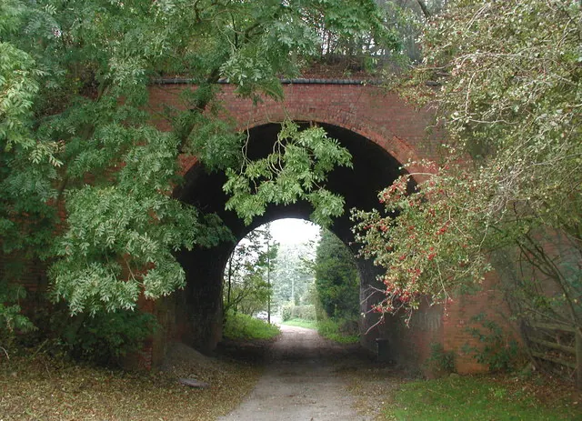
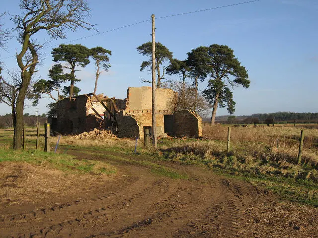
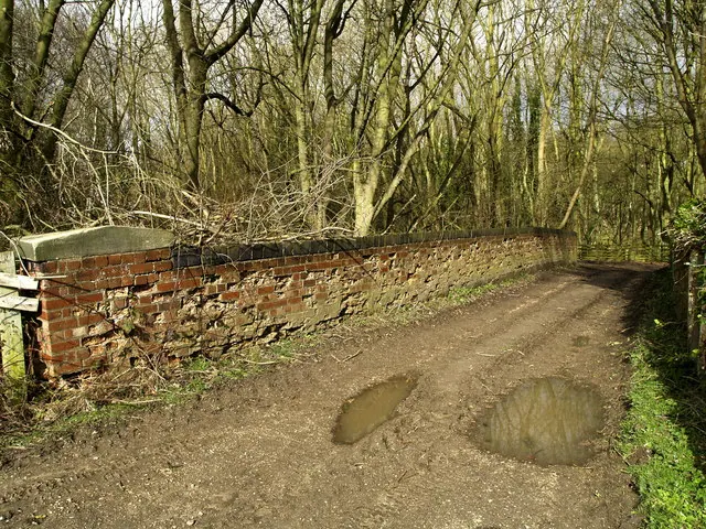
Heritage Around Hotham
Photographs of churches, listed buildings and monuments in the vicinity, contributed by volunteers to the Geograph project and reused here under a Creative Commons licence.
© Paul Glazzard · Geograph · CC BY-SA 2.0
© Roger Gilbertson · Geograph · CC BY-SA 2.0
© Andy Beecroft · Geograph · CC BY-SA 2.0
Images © their respective photographers, licensed under CC BY-SA 2.0 and reused here with attribution. Photographs depict listed buildings, churches and monuments near this settlement and may show neighbouring villages.
Data derived from the Open Domesday project (opendomesday.org), based on the Domesday Book dataset compiled by Professor J.J.N. Palmer and team. The Domesday Book (1086) is in the public domain.
Found an inaccuracy? [email protected]