Horsforth in the Domesday Book (1086)
The 1086 Domesday survey records the settlement of Horsforth, entered under the hundred of Skyrack in Yorkshire.
Other Settlements in Skyrack
- Adel
- Allerton [Bywater]
- Alwoodley
- Arthington
- Austhorpe
- Baildon
- Bardsey
- Barwick [in Elmet]
- Bichertun
- Bicherun
- Bingley
- Birkby [Hill]
- Bramhope
- Burden [Head]
The Meaning of the Name
The name Horsforth is of Anglo-Saxon origin. Its final element derives from the Old English word ford, a river crossing. The first element is most likely a personal name or an early descriptive term, now difficult to recover with certainty. Taken together the name probably meant something close to ‘a ford’.
Remarkably, the name has changed little since 1086, when the Domesday scribes wrote it as Horsforth.
Listed Buildings Near Horsforth
Historic England records 28 listed buildings within about a mile of Horsforth. Listing protects structures of special architectural or historic interest, graded I (exceptional), II* (particularly important) and II.
Grade II*
- Newlay Bridge - 0.6 km
Grade II
- War Memorial at the Junction With Fink Hill - 0.26 km
- Upper Bank House - 0.35 km
- Low Fold - 0.39 km
- K6 Telephone Kiosk Adjacent to the Old Kings Arms Public House - 0.42 km
- 6, Hall Lane - 0.45 km
- Grove Methodist Church - 0.45 km
- Baptist Sunday School and Attached House - 0.46 km
- 4, Hall Lane - 0.46 km
- Grove Manse - 0.46 km
- Baptist Church, with Chapel Cottage attached - 0.5 km
- Toll House to Iron Bridge - 0.58 km
- New Laithes Manor House - 0.59 km
- Weir and Retaining Walls on River Aire - 0.62 km
- 79, 81 and 83, Town Street - 0.66 km
- Stable Block to Former Horsforth Hall - 0.68 km
- Abbey Inn - 0.77 km
- Church of St Margaret - 0.79 km
- Mechanics Institution - 0.84 km
- War Memorial - 0.86 km
- Bridge 221 Over the Leeds and Liverpool Canal - 0.88 km
- 123 to 135 Town Street - 0.9 km
- Croft House - 1.01 km
- Newlay Locks - 1.01 km
…and 4 more listed structures in the area.
Scheduled Monuments Near Horsforth
Scheduled monuments are nationally important archaeological sites given legal protection. 1 lies within roughly a mile of Horsforth:
Horsforth Today
Today Horsforth lies within the administrative area of Leeds, and the settlement recorded a population of 21,555 at the 2021 census. Nine and a half centuries separate that figure from the small rural community the Domesday survey recorded here in 1086.
Read more about modern Horsforth on Wikipedia .
Nearby Domesday Settlements
Other places recorded in the 1086 survey within a few miles:
Heritage Around Horsforth
Photographs of churches, listed buildings and monuments in the vicinity, contributed by volunteers to the Geograph project and reused here under a Creative Commons licence.
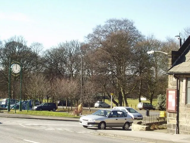
© Rich Tea · Geograph · CC BY-SA 2.0
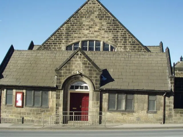
© Rich Tea · Geograph · CC BY-SA 2.0
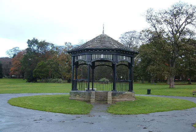
© michael ely · Geograph · CC BY-SA 2.0
Images © their respective photographers, licensed under CC BY-SA 2.0 and reused here with attribution. Photographs depict listed buildings, churches and monuments near this settlement and may show neighbouring villages.
Data derived from the Open Domesday project (opendomesday.org), based on the Domesday Book dataset compiled by Professor J.J.N. Palmer and team. The Domesday Book (1086) is in the public domain.
Found an inaccuracy? [email protected]