Hornsea in the Domesday Book (1086)
Hornsea is named in the Domesday Book, compiled by Norman commissioners in 1086, entered under the hundred of Holderness [North Hundred] in Yorkshire.
Other Settlements in Holderness [North Hundred]
- Arnestorp
- Arram
- Barmston
- Beeford
- Bewholme
- Brandesburton
- Catfoss [Hall]
- Catwick
- Chenecol
- Chenucol
- Chenuthesholm
- Cleeton
- Dringhoe
- Dunnington
The Meaning of the Name
The origin of the name Hornsea is not securely established from its modern form alone; like many settlement names in the North it likely combines an Old English or Old Norse personal name with a landscape term.
Remarkably, the name has changed little since 1086, when the Domesday scribes wrote it as Hornsea.
Listed Buildings Near Hornsea
Historic England records 24 listed buildings within about a mile of Hornsea. Listing protects structures of special architectural or historic interest, graded I (exceptional), II* (particularly important) and II.
Grade I
- Church of Saint Nicholas - 0.54 km
Grade II*
- The White House - 0.45 km
Grade II
- Farrago and Washhouse to Right - 0.07 km
- Railway Station - 0.23 km
- Folly - 0.34 km
- United Reformed Church - 0.35 km
- Wayside Cross - 0.45 km
- Burns Farm Hornsea Museum - 0.45 km
- Ye Old Cottage Cafe - 0.46 km
- Stable Block to the White House - 0.46 km
- The Nook - 0.47 km
- Group of Seven Recumbent Grave Markers About 10 Metres West of the White House - 0.47 km
- Vicarage and Wing Walls - 0.48 km
- 3, Southgate - 0.52 km
- 65 and 66, Southgate - 0.52 km
- Cross in Churchyard of St Nicholas - 0.56 km
- 2, Market Place - 0.57 km
- Pike and Heron Public House - 0.59 km
- The Old Hall - 0.65 km
- Corner Cottage Sunset Cottage - 0.7 km
- 3, Eastgate - 0.74 km
- Cobble Wall, Pump, and Pump Turn - 0.74 km
- 20, Westgate - 0.8 km
- 32, Westgate - 0.9 km
Scheduled Monuments Near Hornsea
Scheduled monuments are nationally important archaeological sites given legal protection. 2 lie within roughly a mile of Hornsea:
- Moated site in Hall Garth Park - 0.57 km
- Medieval settlement of Southorpe and field system, north east of Southorpe Farm - 1.47 km
Hornsea Today
Today Hornsea lies within the administrative area of East Riding of Yorkshire, and the settlement recorded a population of 8,791 at the 2021 census. Nine and a half centuries separate that figure from the small rural community the Domesday survey recorded here in 1086.
Read more about modern Hornsea on Wikipedia .
Nearby Domesday Settlements
Other places recorded in the 1086 survey within a few miles:
- Hornsea Burton - 1.0 km S
- Southorpe - 1.4 km SW
- Rolston - 2.2 km SE
- Wassand Hall - 3.2 km W
- Goxhill - 3.6 km SW
- Seaton - 4.1 km W
Heritage Around Hornsea
Photographs of churches, listed buildings and monuments in the vicinity, contributed by volunteers to the Geograph project and reused here under a Creative Commons licence.
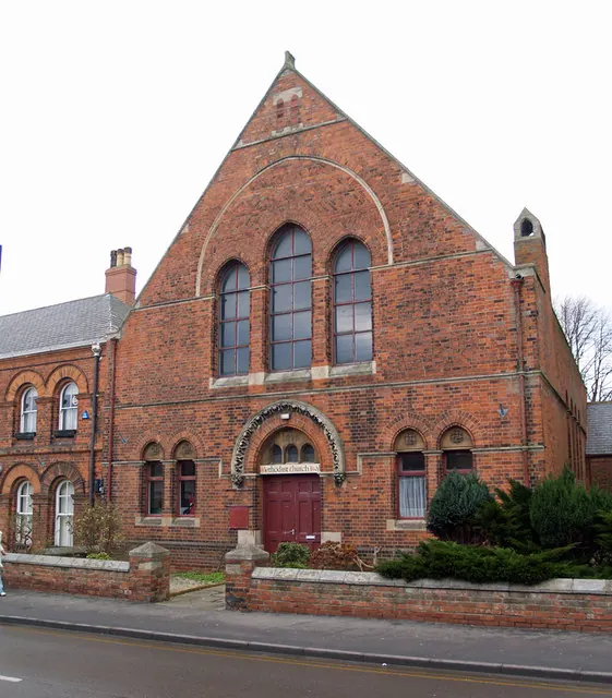
© David Wright · Geograph · CC BY-SA 2.0
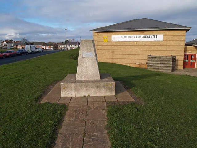
© David Wright · Geograph · CC BY-SA 2.0
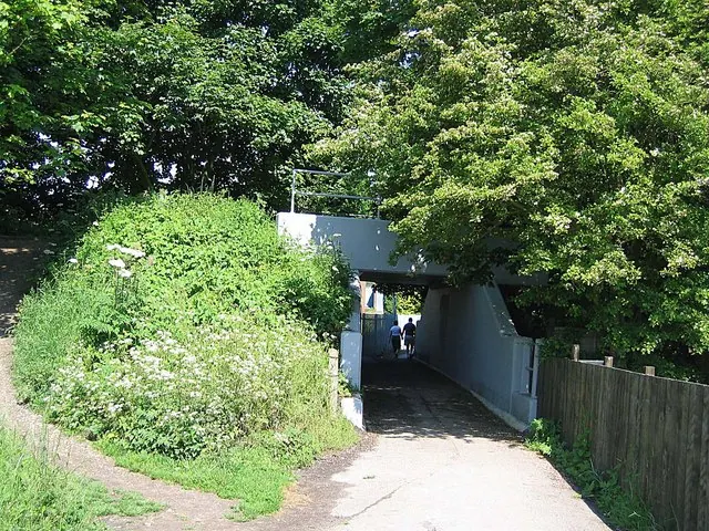
© Roger Smith · Geograph · CC BY-SA 2.0
Images © their respective photographers, licensed under CC BY-SA 2.0 and reused here with attribution. Photographs depict listed buildings, churches and monuments near this settlement and may show neighbouring villages.
Location
53.9094°N, -0.1654°W · Holderness [North Hundred] hundred, Yorkshire
View larger map on OpenStreetMap →Data derived from the Open Domesday project (opendomesday.org), based on the Domesday Book dataset compiled by Professor J.J.N. Palmer and team. The Domesday Book (1086) is in the public domain.
Found an inaccuracy? [email protected]