Hornington Manor in the Domesday Book (1086)
Hornington Manor is named in the Domesday Book, compiled by Norman commissioners in 1086, entered under the hundred of Ainsty in Yorkshire.
Other Settlements in Ainsty
- Acaster [Malbis]
- Acaster [Selby]
- Acomb
- Appleton [Roebuck]
- Askham [Bryan]
- Askham [Richard]
- Bickerton
- Bilbrough
- Bilton
- Bishopthorpe
- Bithen
- Bolton [Percy]
- Catterton
- Colton
The Meaning of the Name
The name Hornington Manor is of Anglo-Saxon origin. Its final element derives from the Old English word tūn, a farmstead or village. The first element is most likely a personal name or an early descriptive term, now difficult to recover with certainty. Taken together the name probably meant something close to ‘a farmstead’.
Remarkably, the name has changed little since 1086, when the Domesday scribes wrote it as Hornington Manor.
Listed Buildings Near Hornington Manor
Historic England records 8 listed buildings within about a mile of Hornington Manor. Listing protects structures of special architectural or historic interest, graded I (exceptional), II* (particularly important) and II.
Grade II*
- Church of St John the Baptist - 1.07 km
Grade II
- Hornington Manor - 0.27 km
- The Old Vicarage - 1.05 km
- Medieval Grave Slab Approximately 1/3 Metre South of St John’s Church - 1.06 km
- The White House - 1.1 km
- Churchyard Cross Approximately 20 Metres to South-west of St John’s Church - 1.11 km
- Woodside Cottage - 1.13 km
- Bolton Lodge - 1.18 km
Scheduled Monuments Near Hornington Manor
Scheduled monuments are nationally important archaeological sites given legal protection. 2 lie within roughly a mile of Hornington Manor:
- Roman villa - 1.19 km
- Tithe barn - 1.54 km
Nearby Domesday Settlements
Other places recorded in the 1086 survey within a few miles:
- Kirkby Wharfe - 1.0 km W
- Pallathorpe - 1.0 km N
- Neuhuse - 1.0 km S
- Niuuehusum - 1.0 km S
- Ulleskelf - 1.0 km S
- Ouston Farm - 1.4 km NW
Heritage Around Hornington [Manor]
Photographs of churches, listed buildings and monuments in the vicinity, contributed by volunteers to the Geograph project and reused here under a Creative Commons licence.
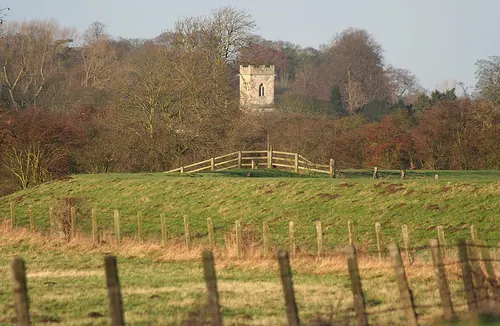
© Andrew Whale · Geograph · CC BY-SA 2.0
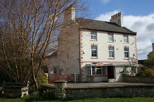
© Andrew Whale · Geograph · CC BY-SA 2.0
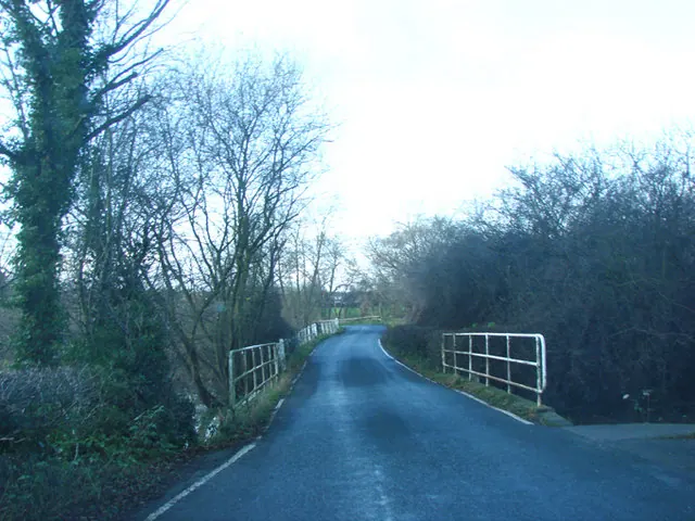
© Bill Henderson · Geograph · CC BY-SA 2.0
Images © their respective photographers, licensed under CC BY-SA 2.0 and reused here with attribution. Photographs depict listed buildings, churches and monuments near this settlement and may show neighbouring villages.
Data derived from the Open Domesday project (opendomesday.org), based on the Domesday Book dataset compiled by Professor J.J.N. Palmer and team. The Domesday Book (1086) is in the public domain.
Found an inaccuracy? [email protected]