Horenbodebi in the Domesday Book (1086)
The settlement of Horenbodebi is recorded in William I’s Domesday survey of 1086, entered under the hundred of Yarlestre in Yorkshire. The survey assessed Horenbodebi at 4 carucates of taxable land.
At the time of the survey, Horenbodebi supported a recorded population of 13 smallholders, 6 slaves, working 13 ploughs between them.
The survey records Horenbodebi’s value at 11.25 shillings in 1086. No pre-Conquest figure survives – not unusual in the North, where records were disrupted by the Harrying and by the patchy coverage of the survey.
1 of 2 manors within Horenbodebi are recorded as waste in 1086, with the remainder still productive. This partial devastation suggests the settlement was caught in the path of the Harrying of the North but not entirely destroyed - or that recovery had begun in some holdings by the time of the survey.
The survey lists 2 manors at Horenbodebi under different lords. Splitting a single settlement between multiple tenants was common across the North – Saxon estates broken up and handed to William’s followers after 1066.
Resources Recorded at Horenbodebi (1086)
- Mills: 1 mill
Other Settlements in Yarlestre
- Arden [Hall]
- Asenby
- Bagby
- Baxby
- Bergebi
- Berghebi
- Bernebi
- Boltby
- Breckenbrough
- Carlton [Husthwaite]
- Carlton [Miniott]
- Catton
- Coxwold
- Crakehill
The Meaning of the Name
The origin of the name Horenbodebi is not securely established from its modern form alone; like many settlement names in the North it likely combines an Old English or Old Norse personal name with a landscape term.
Remarkably, the name has changed little since 1086, when the Domesday scribes wrote it as Horenbodebi.
Listed Buildings Near Horenbodebi
Historic England records 1 listed building within about a mile of Horenbodebi. Listing protects structures of special architectural or historic interest, graded I (exceptional), II* (particularly important) and II.
Grade II*
- Church of St John the Evangelist - 1.27 km
Scheduled Monuments Near Horenbodebi
Scheduled monuments are nationally important archaeological sites given legal protection. 1 lies within roughly a mile of Horenbodebi:
Nearby Domesday Settlements
Other places recorded in the 1086 survey within a few miles:
- Horebodebi - 0.0 km N
- Dalton - 1.4 km NE
- Leckby Palace - 1.4 km SW
- Crakehill - 2.0 km S
- Bergebi - 2.2 km NW
- Berghebi - 2.2 km NW
Heritage Around Horenbodebi
Photographs of churches, listed buildings and monuments in the vicinity, contributed by volunteers to the Geograph project and reused here under a Creative Commons licence.
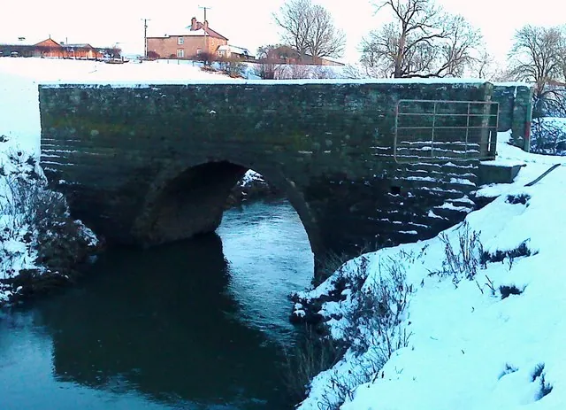
© Matthew Hatton · Geograph · CC BY-SA 2.0
© Matthew Hatton · Geograph · CC BY-SA 2.0
© Gordon Hatton · Geograph · CC BY-SA 2.0
Images © their respective photographers, licensed under CC BY-SA 2.0 and reused here with attribution. Photographs depict listed buildings, churches and monuments near this settlement and may show neighbouring villages.
Data derived from the Open Domesday project (opendomesday.org), based on the Domesday Book dataset compiled by Professor J.J.N. Palmer and team. The Domesday Book (1086) is in the public domain.
Found an inaccuracy? [email protected]