Horbury in the Domesday Book (1086)
The settlement of Horbury is recorded in William I’s Domesday survey of 1086, entered under the hundred of Agbrigg in Yorkshire. The survey assessed Horbury at 145 carucates of taxable land.
At the time of the survey, Horbury supported a recorded population of 16 villagers, 6 smallholders, 3 freemanmen, working 18 ploughs between them.
Resources Recorded at Horbury (1086)
- Churches: 2
- Fisheries: 1
- Meadow: 12 acres
- Woodland: 1 * 1 leagues
Other Settlements in Agbrigg
- Ackton
- Almondbury
- Austonley
- Bradley
- Cartworth
- Crigglestone
- Crofton
- Dalton
- Emley
- Farnley [Tyas]
- Flockton
- Fulstone
- Golcar
- Hepworth
The Meaning of the Name
The name Horbury is of Anglo-Saxon origin. Its final element derives from the Old English word burh, a fortified place. The first element is most likely a personal name or an early descriptive term, now difficult to recover with certainty. Taken together the name probably meant something close to ‘a stronghold’.
Remarkably, the name has changed little since 1086, when the Domesday scribes wrote it as Horbury.
Listed Buildings Near Horbury
Historic England records 23 listed buildings within about a mile of Horbury. Listing protects structures of special architectural or historic interest, graded I (exceptional), II* (particularly important) and II.
Grade I
- Church of St Peter and St Leonard - 0.13 km
- Horbury Hall - 0.15 km
Grade II
- 18 and 20, Twitch Hill - 0.12 km
- Two grave covers approximately 1 metre west of north wing of Church of St. Peter and St. Leonard - 0.13 km
- 25, New Street - 0.14 km
- 47,49,51, Tithe Barn Street - 0.15 km
- Carr Lodge - 0.17 km
- 37,39, Queen Street - 0.17 km
- Former Lock Up Approximately 5 Metres South East of Number 33 - 0.19 km
- 33, Tithe Barn Street - 0.2 km
- Works to south of Number 33, Tithe Barn Street - 0.21 km
- St Peters Convent Chapel - 0.24 km
- 10 and 12, High Street - 0.27 km
- St Peters Convent, the Main Ranges Around the Courtyard - 0.28 km
- Lydgate Manor - 0.3 km
- Shepherds Arms Public House - 0.39 km
- Horbury Gas Decontamination Centre - 0.39 km
- Hall Croft, Horbury Working Mens Club - 0.45 km
- 1, Northfield Lane - 0.55 km
- Grove House - 0.61 km
- Jenkin House - 0.78 km
- Church of St Mary Virgin - 0.88 km
- Sowood Farmhouse - 1.26 km
Horbury Today
Today Horbury lies within the administrative area of Wakefield, and the settlement recorded a population of 10,002 at recent figures. Nine and a half centuries separate that figure from the small rural community the Domesday survey recorded here in 1086.
Read more about modern Horbury on Wikipedia .
Nearby Domesday Settlements
Other places recorded in the 1086 survey within a few miles:
- Ossett - 2.8 km NW
- Crigglestone - 2.8 km SE
- Shitlington - 3.2 km W
- Wakefield - 4.5 km NE
- Sandal Magna - 5.0 km E
- Thornhill - 5.0 km W
Heritage Around Horbury
Photographs of churches, listed buildings and monuments in the vicinity, contributed by volunteers to the Geograph project and reused here under a Creative Commons licence.
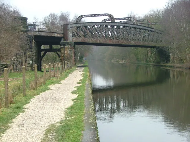
© Nigel Homer · Geograph · CC BY-SA 2.0
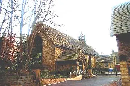
© Bill Henderson · Geograph · CC BY-SA 2.0
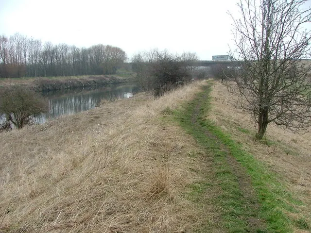
© Nigel Homer · Geograph · CC BY-SA 2.0
Images © their respective photographers, licensed under CC BY-SA 2.0 and reused here with attribution. Photographs depict listed buildings, churches and monuments near this settlement and may show neighbouring villages.
Data derived from the Open Domesday project (opendomesday.org), based on the Domesday Book dataset compiled by Professor J.J.N. Palmer and team. The Domesday Book (1086) is in the public domain.
Found an inaccuracy? [email protected]