Hope in the Domesday Book (1086)
Hope is named in the Domesday Book, compiled by Norman commissioners in 1086, entered under the hundred of Blackwell in Derbyshire.
Other Settlements in Blackwell
- Abney
- Ashford [-in-the-Water]
- Aston
- Bakewell
- Bamford
- Baslow
- Beeley
- Birchills
- Birchover
- Blackwell
- Bradwell
- Bubnell
- Burley
- Burton
The Meaning of the Name
The origin of the name Hope is not securely established from its modern form alone; like many settlement names in the North it likely combines an Old English or Old Norse personal name with a landscape term.
Remarkably, the name has changed little since 1086, when the Domesday scribes wrote it as Hope.
Listed Buildings Near Hope
Historic England records 22 listed buildings within about a mile of Hope. Listing protects structures of special architectural or historic interest, graded I (exceptional), II* (particularly important) and II.
Grade I
- Church of St Peter - 0.37 km
Grade II
- Mile Post at Sk 176 834 - 0.14 km
- War Memorial - 0.26 km
- Daggers House - 0.28 km
- Old Hall Hotel - 0.35 km
- Remains of Churchyard Cross, 3 Metres South of St Peter’s Church - 0.37 km
- Cross Shaft 1 Metre South of St Peters Church - 0.37 km
- Gatepiers to St Peter’s Churchyard - 0.37 km
- Ebenezer House and Attached Outbuilding - 0.43 km
- Hope Primary School - 0.5 km
- Kilnhill Farmhouse - 0.61 km
- Toll Cottage - 0.83 km
- Range of barns to north of Eccles House Farmhouse - 0.83 km
- Eccles House Farmhouse - 0.86 km
- Greaves Cottage - 0.89 km
- Bleak House - 0.98 km
- Brough House - 1.07 km
- Burghwash Farmhouse and Attached Outbuilding - 1.09 km
- Barn to South East of Brough House - 1.09 km
- Aston Hall - 1.09 km
- Mill Farmhouse - 1.12 km
- Brough Bridge - 1.13 km
Scheduled Monuments Near Hope
Scheduled monuments are nationally important archaeological sites given legal protection. 6 lie within roughly a mile of Hope:
- Standing cross in the churchyard of St Peter’s Church - 0.36 km
- Anglian high cross in the churchyard of St Peter’s Church - 0.37 km
- Wayside cross known as Eccles Cross - 0.37 km
- Hope Motte - 0.45 km
- Navio Roman fort and vicus - 0.96 km
- The Folly platform cairn - 0.97 km
Hope Today
Today Hope lies within the administrative area of High Peak, and the settlement recorded a population of 851 at the 2021 census. Nine and a half centuries separate that figure from the small rural community the Domesday survey recorded here in 1086.
Read more about modern Hope on Wikipedia .
Nearby Domesday Settlements
Other places recorded in the 1086 survey within a few miles:
Heritage Around Hope
Photographs of churches, listed buildings and monuments in the vicinity, contributed by volunteers to the Geograph project and reused here under a Creative Commons licence.
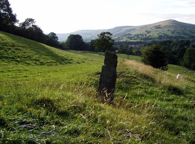
© Mark Dunn · Geograph · CC BY-SA 2.0
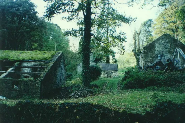
© Humphrey Bolton · Geograph · CC BY-SA 2.0
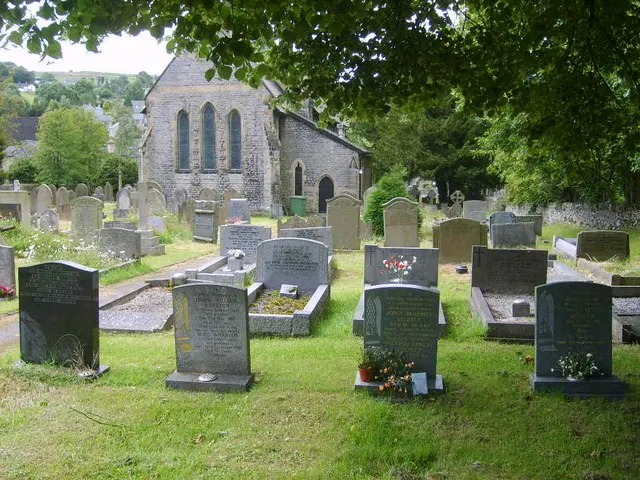
© William Metcalfe · Geograph · CC BY-SA 2.0
Images © their respective photographers, licensed under CC BY-SA 2.0 and reused here with attribution. Photographs depict listed buildings, churches and monuments near this settlement and may show neighbouring villages.
Data derived from the Open Domesday project (opendomesday.org), based on the Domesday Book dataset compiled by Professor J.J.N. Palmer and team. The Domesday Book (1086) is in the public domain.
Found an inaccuracy? [email protected]