Hooton in the Domesday Book (1086)
Hooton is named in the Domesday Book, compiled by Norman commissioners in 1086, entered under the hundred of Willaston in Cheshire.
Other Settlements in Willaston
- Barnston
- Blacon
- Capenhurst
- Croughton
- Eastham
- Gayton
- Greasby
- Hadlow
- Hargrave
- Heswall
- Landican
- Lea
- Ledsham
- Leighton
The Meaning of the Name
The name Hooton is of Anglo-Saxon origin. Its final element derives from the Old English word tūn, a farmstead or village. The first element is most likely a personal name or an early descriptive term, now difficult to recover with certainty. Taken together the name probably meant something close to ‘a farmstead’.
Remarkably, the name has changed little since 1086, when the Domesday scribes wrote it as Hooton.
Listed Buildings Near Hooton
Historic England records 21 listed buildings within about a mile of Hooton. Listing protects structures of special architectural or historic interest, graded I (exceptional), II* (particularly important) and II.
Grade II*
- Northern General Service Hangar (Building 16), Hooton Park Aerodrome - 0.83 km
- Central General Service Hangar (Building 17), Hooton Park Aerodrome - 0.91 km
- Southern General Service Hangar (Building 18), Hooton Park Aerodrome - 1.0 km
Grade II
- 3, Church Lane - 0.71 km
- 111, Eastham Village Road - 0.73 km
- Grove House - 0.75 km
- Sundial to South of Porch to St Mary’s Church - 0.76 km
- Church of St Mary - 0.78 km
- Hall Farmhouse - 0.79 km
- Village Cross at Junction With Eastham Village Road - 0.8 km
- Eastham War Memorial - 0.81 km
- 93, Eastham Village Road - 0.82 km
- St Marys Primary School and Number 69 Old Masters House - 0.82 km
- 31-35, Stanley Lane - 0.84 km
- Nos. 3 AND 4, HOOTON GREEN - 0.89 km
- Building 27, Hooton Park Aerodrome - 0.89 km
- 1 and 2, Hooton Green - 0.9 km
- Building 42, Hooton Park Aerodrome - 0.91 km
- Motor Transport Sheds (Building 48), Hooton Park Aerodrome - 0.99 km
- Hooton Park Farmhouse - 1.08 km
- Church of St Mary of the Angels (Roman Catholic) - 1.26 km
Hooton Today
Today Hooton lies within the administrative area of Cheshire West and Chester, and the settlement recorded a population of 385 at recent figures. Nine and a half centuries separate that figure from the small rural community the Domesday survey recorded here in 1086.
Read more about modern Hooton on Wikipedia .
Nearby Domesday Settlements
Other places recorded in the 1086 survey within a few miles:
- Eastham - 1.4 km NW
- Great and Little Sutton - 2.2 km SE
- Poulton Lancelyn - 3.6 km NW
- Hadlow - 3.6 km SW
- Hargrave - 4.0 km W
- Raby - 5.0 km W
Heritage Around Hooton
Photographs of churches, listed buildings and monuments in the vicinity, contributed by volunteers to the Geograph project and reused here under a Creative Commons licence.
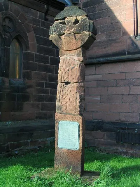
© Peter Craine · Geograph · CC BY-SA 2.0
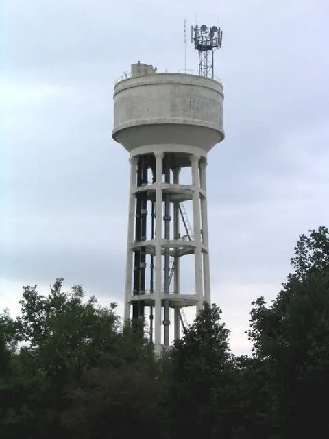
© Peter Craine · Geograph · CC BY-SA 2.0
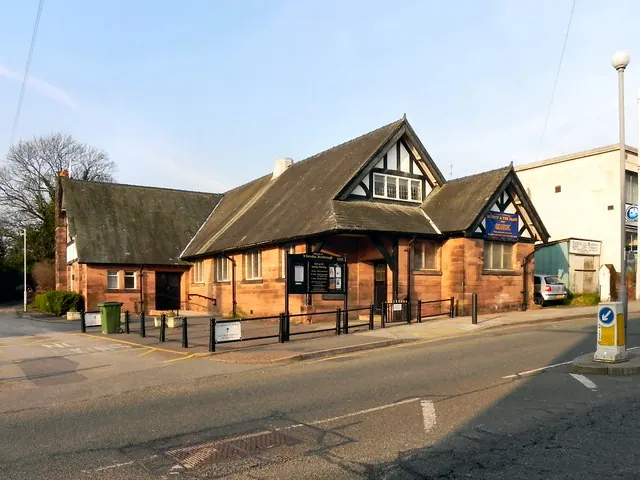
© David Dixon · Geograph · CC BY-SA 2.0
Images © their respective photographers, licensed under CC BY-SA 2.0 and reused here with attribution. Photographs depict listed buildings, churches and monuments near this settlement and may show neighbouring villages.
Data derived from the Open Domesday project (opendomesday.org), based on the Domesday Book dataset compiled by Professor J.J.N. Palmer and team. The Domesday Book (1086) is in the public domain.
Found an inaccuracy? [email protected]