Hooton Levitt in the Domesday Book (1086)
The 1086 Domesday survey records the settlement of Hooton Levitt, entered under the hundred of Strafforth in Yorkshire.
Other Settlements in Strafforth
- Adwick [le Street]
- Adwick [upon Dearne]
- Armthorpe
- Aston
- Attercliffe
- Auckley
- Aughton [Hall]
- Austerfield
- Balby
- Barnbrough
- Barnby [Dun]
- Bentley
- Bilham [House]
- Billingley
The Meaning of the Name
The name Hooton Levitt is of Anglo-Saxon origin. Its final element derives from the Old English word tūn, a farmstead or village. The first element is most likely a personal name or an early descriptive term, now difficult to recover with certainty. Taken together the name probably meant something close to ‘a farmstead’.
Remarkably, the name has changed little since 1086, when the Domesday scribes wrote it as Hooton Levitt.
Listed Buildings Near Hooton Levitt
Historic England records 14 listed buildings within about a mile of Hooton Levitt. Listing protects structures of special architectural or historic interest, graded I (exceptional), II* (particularly important) and II.
Grade II*
- Church of Saint Bartholomew - 0.45 km
Grade II
- Farmbuilding Approximately 20 Metres to East of Home Farmhouse - 0.45 km
- Medieval Tomb Set in Lych Gate to Church of Saint Bartholomew - 0.46 km
- 27, Blyth Road - 0.6 km
- Market Cross Situated at Junction With Blyth Road - 0.6 km
- Kingwood View - 0.63 km
- Maltby War Memorial - 0.66 km
- Farmbuilding immediately to west of Manor House Farmhouse - 0.67 km
- Milepost Approximately 30 Metres South of Junction With Morrell Street - 0.67 km
- Farmbuilding approximately 20 metres to west of house at Mill Farm - 0.73 km
- House and Attached Mill Building at Mill Farm - 0.76 km
- Cartshed Approximately 15 Metres North East of House at Mill Farm - 0.76 km
- Milepost Approximately 40 Metres to East of Junction With Millindale - 0.94 km
- Milepost Opposite Junction With Addison Road - 1.15 km
Hooton Levitt Today
Today Hooton Levitt lies within the administrative area of Rotherham, and the settlement recorded a population of 131 at the 2021 census. Nine and a half centuries separate that figure from the small rural community the Domesday survey recorded here in 1086.
Read more about modern Hooton Levitt on Wikipedia .
Nearby Domesday Settlements
Other places recorded in the 1086 survey within a few miles:
- Maltby - 0.0 km N
- Newhall Grange - 2.0 km W
- Slade Hooton - 2.0 km S
- Hellaby - 2.2 km NW
- Braithwell - 3.0 km N
- Bramley - 3.2 km W
Heritage Around Hooton [Levitt]
Photographs of churches, listed buildings and monuments in the vicinity, contributed by volunteers to the Geograph project and reused here under a Creative Commons licence.
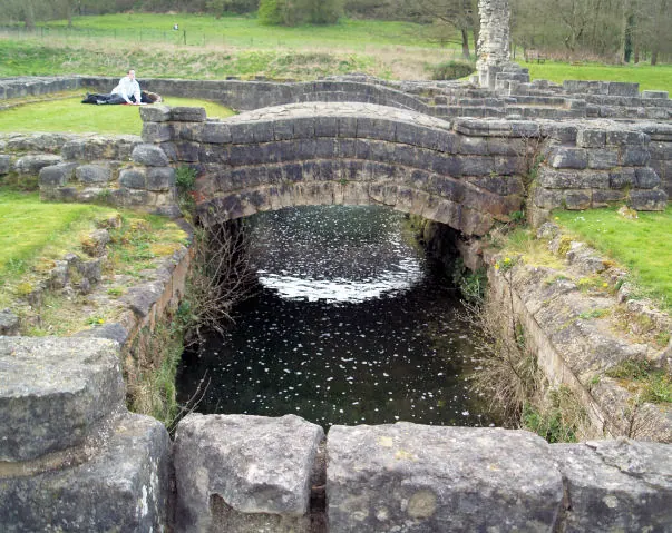
© Steve Fareham · Geograph · CC BY-SA 2.0
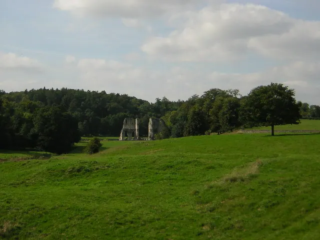
© Richard Croft · Geograph · CC BY-SA 2.0
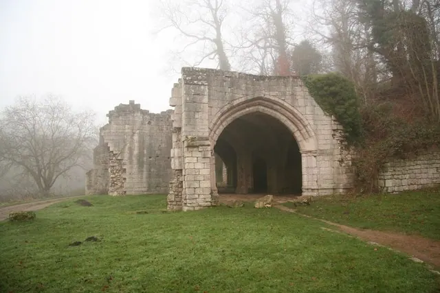
© Richard Croft · Geograph · CC BY-SA 2.0
Images © their respective photographers, licensed under CC BY-SA 2.0 and reused here with attribution. Photographs depict listed buildings, churches and monuments near this settlement and may show neighbouring villages.
Data derived from the Open Domesday project (opendomesday.org), based on the Domesday Book dataset compiled by Professor J.J.N. Palmer and team. The Domesday Book (1086) is in the public domain.
Found an inaccuracy? [email protected]