Holmesfield in the Domesday Book (1086)
The 1086 Domesday survey records the settlement of Holmesfield, entered under the hundred of Scarsdale in Derbyshire.
Other Settlements in Scarsdale
- Alfreton
- Ashover
- Barlborough
- Barlow
- Beighton
- Blingsby
- Bolsover
- Boythorpe
- Bramley [Vale]
- Brimington
- Calow
- Chesterfield
- Clowne
- Dore
The Meaning of the Name
The name Holmesfield is of Anglo-Saxon origin. Its final element derives from the Old English word feld, open country. The first element is most likely a personal name or an early descriptive term, now difficult to recover with certainty. Taken together the name probably meant something close to ‘a open land’.
Remarkably, the name has changed little since 1086, when the Domesday scribes wrote it as Holmesfield.
Listed Buildings Near Holmesfield
Historic England records 14 listed buildings within about a mile of Holmesfield. Listing protects structures of special architectural or historic interest, graded I (exceptional), II* (particularly important) and II.
Grade II*
- Cartledge Hall - 0.31 km
- Farm Outbuildings to the East of Holmesfield Hall - 0.66 km
- Holmesfield Hall - 0.7 km
- Dronfield Woodhouse Hall Farmhouse and Attached Boundary Walls - 1.16 km
Grade II
- Barn Incorporating Dovecote East of Cartledge Hall - 0.28 km
- Outbuildings to the North East and East of Cartledge Grange - 0.28 km
- Outbuilding to the North East of Cartledge Hall - 0.29 km
- Small barn to the south east of Cartledge Hall - 0.29 km
- Cartledge Grange - 0.31 km
- Church of St Swithin - 0.58 km
- Farm Outbuilding to the South East of Holmesfield Hall - 0.67 km
- Range of Outbuildings to the South West of Dronfield Woodhouse Hall - 1.12 km
- Milestone 650 Metres East of the Robin Hood Inn - 1.17 km
- Cowley Farmhouse - 1.25 km
Scheduled Monuments Near Holmesfield
Scheduled monuments are nationally important archaeological sites given legal protection. 2 lie within roughly a mile of Holmesfield:
- Holmesfield moated site and headland - 0.64 km
- Castle Hill motte and bailey castle - 0.74 km
Holmesfield Today
Today Holmesfield lies within the administrative area of North East Derbyshire, and the settlement recorded a population of 1,059 at the 2021 census. Nine and a half centuries separate that figure from the small rural community the Domesday survey recorded here in 1086.
Read more about modern Holmesfield on Wikipedia .
Nearby Domesday Settlements
Other places recorded in the 1086 survey within a few miles:
- Totley - 2.8 km NW
- Dronfield - 3.2 km E
- Upton - 3.2 km E
- Great Barlow - 3.6 km SE
- Coal Aston - 4.5 km NE
- Dore - 4.5 km NW
Heritage Around Holmesfield
Photographs of churches, listed buildings and monuments in the vicinity, contributed by volunteers to the Geograph project and reused here under a Creative Commons licence.
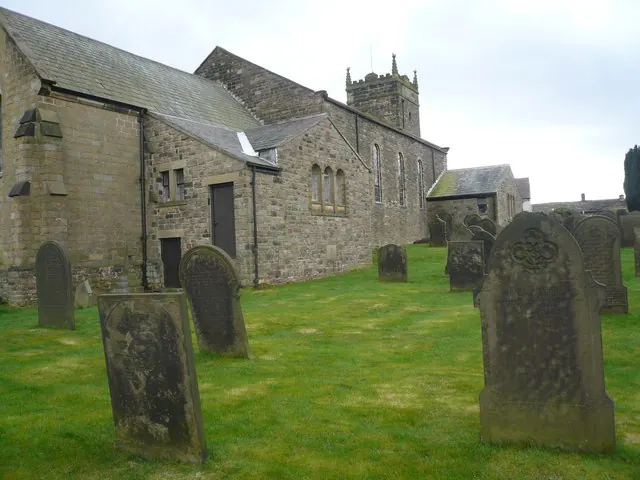
© Alan Heardman · Geograph · CC BY-SA 2.0
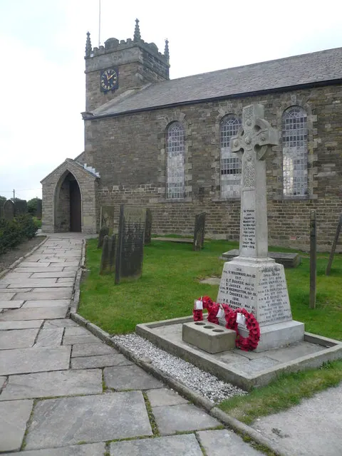
© Alan Heardman · Geograph · CC BY-SA 2.0
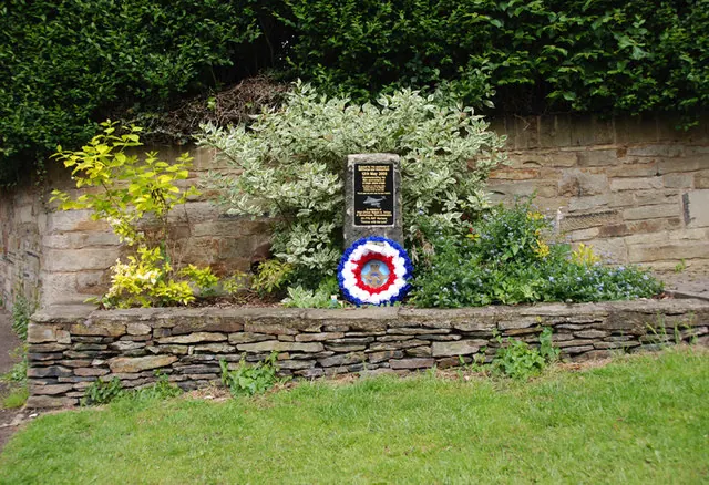
© david mills · Geograph · CC BY-SA 2.0
Images © their respective photographers, licensed under CC BY-SA 2.0 and reused here with attribution. Photographs depict listed buildings, churches and monuments near this settlement and may show neighbouring villages.
Data derived from the Open Domesday project (opendomesday.org), based on the Domesday Book dataset compiled by Professor J.J.N. Palmer and team. The Domesday Book (1086) is in the public domain.
Found an inaccuracy? [email protected]