Holme in the Domesday Book (1086)
The 1086 Domesday survey records the settlement of Holme, entered under the hundred of Scarsdale in Derbyshire.
Other Settlements in Scarsdale
- Alfreton
- Ashover
- Barlborough
- Barlow
- Beighton
- Blingsby
- Bolsover
- Boythorpe
- Bramley [Vale]
- Brimington
- Calow
- Chesterfield
- Clowne
- Dore
The Meaning of the Name
The origin of the name Holme is not securely established from its modern form alone; like many settlement names in the North it likely combines an Old English or Old Norse personal name with a landscape term.
Remarkably, the name has changed little since 1086, when the Domesday scribes wrote it as Holme.
Listed Buildings Near Holme
Historic England records 14 listed buildings within about a mile of Holme. Listing protects structures of special architectural or historic interest, graded I (exceptional), II* (particularly important) and II.
Grade I
- Parish Church of St Peter and St Paul - 1.12 km
Grade II*
- Cutthorpe Hall - 0.6 km
- Cutthorpe Old Hall - 0.99 km
Grade II
- Farm Outbuilding to the South of Hall Farmhouse - 0.52 km
- The Dower House - 0.55 km
- Garden Walls and Gatepiers to South East of Cutthorpe Hall - 0.57 km
- The Old Barracks - 0.61 km
- Range of Farm Outbuildings to the North and North West of Cutthorpe Hall - 0.62 km
- Cowsheds to North of Holme Hall Farmhouse - 0.77 km
- Holme Hall Farmhouse - 0.77 km
- Ashgate House - 0.91 km
- Old Hall Cottage - 0.99 km
- Brampton Manor, attached boundary walls, gatepiers and railings - 1.18 km
- Fields Farmhouse - 1.24 km
Scheduled Monuments Near Holme
Scheduled monuments are nationally important archaeological sites given legal protection. 1 lies within roughly a mile of Holme:
Nearby Domesday Settlements
Other places recorded in the 1086 survey within a few miles:
- Newbold and Upper Newbold - 1.4 km NE
- Old Brampton - 1.4 km SW
- Great Barlow - 2.0 km N
- Walton - 3.2 km S
- Wadshelf - 3.6 km SW
- Chesterfield - 4.1 km E
Heritage Around Holme
Photographs of churches, listed buildings and monuments in the vicinity, contributed by volunteers to the Geograph project and reused here under a Creative Commons licence.
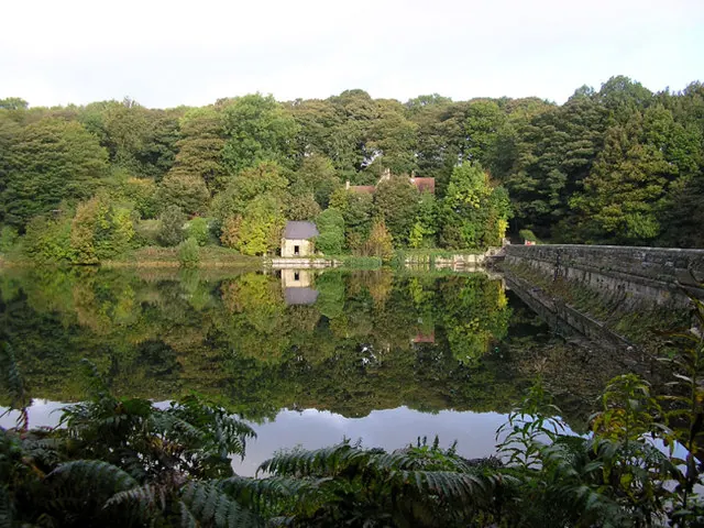
© david mills · Geograph · CC BY-SA 2.0
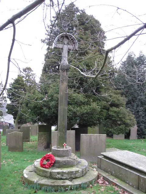
© Alan Heardman · Geograph · CC BY-SA 2.0
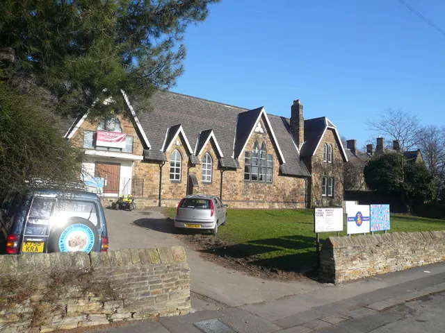
© Alan Heardman · Geograph · CC BY-SA 2.0
Images © their respective photographers, licensed under CC BY-SA 2.0 and reused here with attribution. Photographs depict listed buildings, churches and monuments near this settlement and may show neighbouring villages.
Data derived from the Open Domesday project (opendomesday.org), based on the Domesday Book dataset compiled by Professor J.J.N. Palmer and team. The Domesday Book (1086) is in the public domain.
Found an inaccuracy? [email protected]