Holme House in the Domesday Book (1086)
The settlement of Holme House is recorded in William I’s Domesday survey of 1086, entered under the hundred of Craven in Yorkshire.
Other Settlements in Craven
- Addingham
- Airton
- Anley
- Appletreewick
- Arncliffe
- Arnford
- Barnoldswick
- Bashall [Eaves]
- Battersby [Barn]
- Beamsley
- Birkby [Hall]
- Bogeuurde
- Bolton [Abbey]
- Bolton [by Bowland]
The Meaning of the Name
The origin of the name Holme House is not securely established from its modern form alone; like many settlement names in the North it likely combines an Old English or Old Norse personal name with a landscape term.
Remarkably, the name has changed little since 1086, when the Domesday scribes wrote it as Holme House.
Listed Buildings Near Holme House
Historic England records 10 listed buildings within about a mile of Holme House. Listing protects structures of special architectural or historic interest, graded I (exceptional), II* (particularly important) and II.
Grade II
- Toll Bar House - 0.12 km
- Leeds and Liverpool Canal Aqueduct at Holme Bridge - 0.34 km
- Milestone at Holme Bridge - 0.43 km
- Leeds and Liverpool Canal, Ray Bridge Number 172 - 0.75 km
- Boundary Stone (At Ngr Sd 9468 5435) - 1.02 km
- Boundary Stone (At Ngr Sd 9470 5338) - 1.1 km
- Boundary Stone (At Ngr Sd 9470 5337) - 1.12 km
- Boundary Stone (At Ngr Sd 9472 5330) - 1.18 km
- Leeds and Liverpool Canal Low Warehouse Bridge Number 171 and Integral Lock - 1.18 km
- Ivy House Farm - 1.25 km
Scheduled Monuments Near Holme House
Scheduled monuments are nationally important archaeological sites given legal protection. 1 lies within roughly a mile of Holme House:
- Roman villa at Kirk Sink - 1.14 km
Nearby Domesday Settlements
Other places recorded in the 1086 survey within a few miles:
Heritage Around Holme [House]
Photographs of churches, listed buildings and monuments in the vicinity, contributed by volunteers to the Geograph project and reused here under a Creative Commons licence.
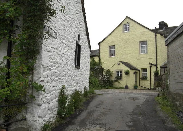
© michael ely · Geograph · CC BY-SA 2.0
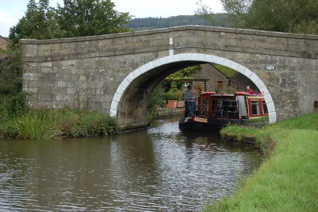
© John Sparshatt · Geograph · CC BY-SA 2.0
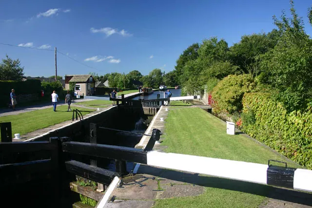
© Andy Stephenson · Geograph · CC BY-SA 2.0
Images © their respective photographers, licensed under CC BY-SA 2.0 and reused here with attribution. Photographs depict listed buildings, churches and monuments near this settlement and may show neighbouring villages.
Data derived from the Open Domesday project (opendomesday.org), based on the Domesday Book dataset compiled by Professor J.J.N. Palmer and team. The Domesday Book (1086) is in the public domain.
Found an inaccuracy? [email protected]