Holme in the Domesday Book (1086)
The 1086 Domesday survey records the settlement of Holme, entered under the hundred of Amounderness in Yorkshire. The survey assessed Holme at 3 carucates of taxable land.
The survey records Holme’s value at 0d in 1086. No pre-Conquest figure survives – not unusual in the North, where records were disrupted by the Harrying and by the patchy coverage of the survey.
The Domesday survey records Holme as waste - uninhabited and unproductive. In Yorkshire, this designation most often reflects the Harrying of the North of 1069–70, when William I’s forces destroyed crops, livestock, and communities across the county to crush rebellion. Whether Holme recovered in subsequent decades is not recorded.
Other Settlements in Amounderness
- Aighton
- Aldcliffe
- Aldingham
- Arkholme
- Aschebi
- Ashton [Hall]
- Ashton [on Ribble]
- Austwick
- Barbon
- Bardsea
- Bare
- Barnoldswick
- Barton
- Beetham
The Meaning of the Name
The origin of the name Holme is not securely established from its modern form alone; like many settlement names in the North it likely combines an Old English or Old Norse personal name with a landscape term.
Remarkably, the name has changed little since 1086, when the Domesday scribes wrote it as Holme.
Listed Buildings Near Holme
Historic England records 16 listed buildings within about a mile of Holme. Listing protects structures of special architectural or historic interest, graded I (exceptional), II* (particularly important) and II.
Grade II
- Sheerness Bridge Over Kendal/lancaster Canal - 0.11 km
- Holme Turnpike Bridge Over Kendal/lancaster Canal - 0.22 km
- Holme Mill Bridge Over Kendal/lancaster Canal - 0.3 km
- Bridge House and Attached Barn - 0.35 km
- Pinders Farmhouse and Attached Barn - 0.37 km
- Janson’s Bridge Over Kendal/lancaster Canal - 0.49 km
- Boundary Stone Between Parishes of Holme and Burton - 0.55 km
- Milestone on Kendal/lancaster Canal Approximately 100 Metres South of Holme Warehouse Bridge - 0.59 km
- Holme Warehouse Bridge Over Kendal/lancaster Canal - 0.69 km
- Holme Park Bridge Over Kendal/lancaster Canal - 0.88 km
- Milestone on Kendal/lancaster Canal Approximately 70 Metres North of Braithwaite Bridge - 0.94 km
- Braithwaite Bridge Over Kendal/lacaster Canal - 1.01 km
- Boundary Post Approximately 650 Metres North East of Holme Parish Church - 1.04 km
- Nelson’s Bridge Over Kendal/lancaster Canal - 1.13 km
- New Mill Aqueduct on Kendal/lancaster Canal - 1.19 km
- Milepost Approximately 300 Metres North of Holme Park - 1.24 km
Holme Today
Today Holme lies within the administrative area of Westmorland and Furness, and the settlement recorded a population of 1,477 at the 2021 census. Nine and a half centuries separate that figure from the small rural community the Domesday survey recorded here in 1086.
Read more about modern Holme on Wikipedia .
Nearby Domesday Settlements
Other places recorded in the 1086 survey within a few miles:
Heritage Around Holme
Photographs of churches, listed buildings and monuments in the vicinity, contributed by volunteers to the Geograph project and reused here under a Creative Commons licence.
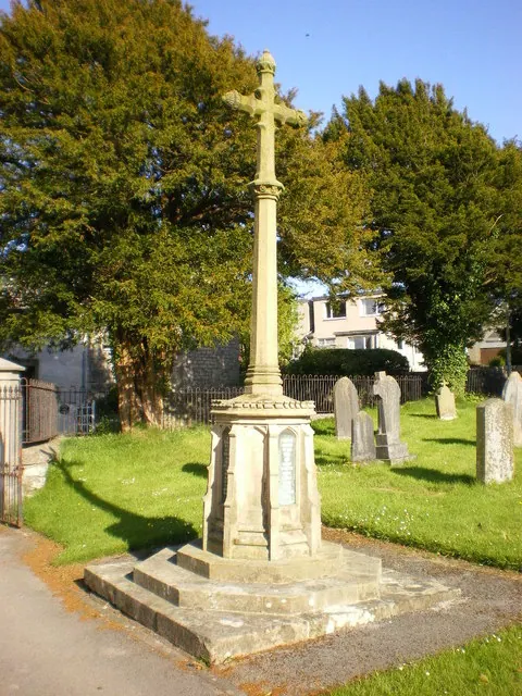
© Alexander P Kapp · Geograph · CC BY-SA 2.0
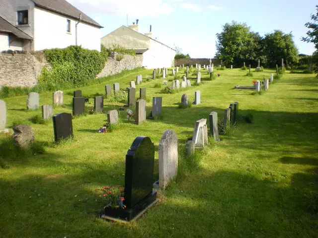
© Alexander P Kapp · Geograph · CC BY-SA 2.0
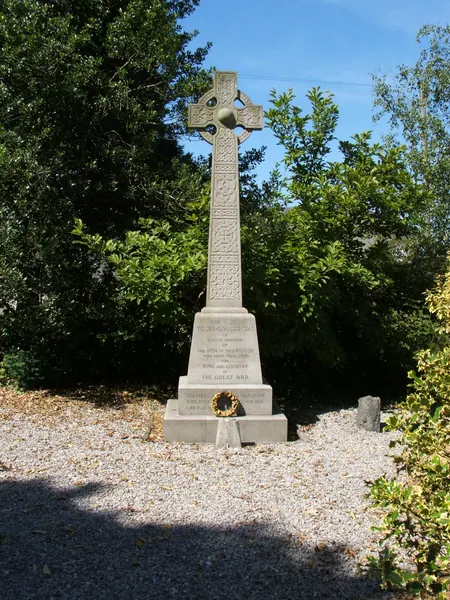
© mauldy · Geograph · CC BY-SA 2.0
Images © their respective photographers, licensed under CC BY-SA 2.0 and reused here with attribution. Photographs depict listed buildings, churches and monuments near this settlement and may show neighbouring villages.
Data derived from the Open Domesday project (opendomesday.org), based on the Domesday Book dataset compiled by Professor J.J.N. Palmer and team. The Domesday Book (1086) is in the public domain.
Found an inaccuracy? [email protected]