Holme in the Domesday Book (1086)
The 1086 Domesday survey records the settlement of Holme, entered under the hundred of Agbrigg in Yorkshire.
Other Settlements in Agbrigg
- Ackton
- Almondbury
- Austonley
- Bradley
- Cartworth
- Crigglestone
- Crofton
- Dalton
- Emley
- Farnley [Tyas]
- Flockton
- Fulstone
- Golcar
- Hepworth
The Meaning of the Name
The origin of the name Holme is not securely established from its modern form alone; like many settlement names in the North it likely combines an Old English or Old Norse personal name with a landscape term.
Remarkably, the name has changed little since 1086, when the Domesday scribes wrote it as Holme.
Listed Buildings Near Holme
Historic England records 22 listed buildings within about a mile of Holme. Listing protects structures of special architectural or historic interest, graded I (exceptional), II* (particularly important) and II.
Grade II
- 331,333,335, Woodhead Road - 0.19 km
- 9 Miles Post Between Holme and Lane - 0.26 km
- 370,372,374, Woodhead Road - 0.31 km
- Spring Cottage - 0.32 km
- 67, Corn Hey - 0.41 km
- Lower Spout Farmhouse - 0.44 km
- 25,27, Holme - 0.48 km
- Ings Lodge - 0.48 km
- 24,26, Holme - 0.49 km
- Barn to Upper Fold Farm - 0.49 km
- Upperfold Farmhouse - 0.5 km
- Entrance Archway to Childrens Playground - 0.51 km
- 16, Holme - 0.52 km
- 2,4,6, Meal Hill Road - 0.53 km
- 10,12,14, Holme - 0.53 km
- 5, Holme - 0.54 km
- No 8 and Adjoining Barn - 0.54 km
- 3, Holme - 0.55 km
- Underhill - 0.57 km
- Cottage to West of Upper Lydgate Farm - 0.59 km
- Meal Hill - 0.76 km
- 10 Miles Post, 1 Mile North of Holme Moss Summit - 0.83 km
Scheduled Monuments Near Holme
Scheduled monuments are nationally important archaeological sites given legal protection. 1 lies within roughly a mile of Holme:
Holme Today
Today Holme lies within the administrative area of Holme Valley.
Read more about modern Holme on Wikipedia .
Nearby Domesday Settlements
Other places recorded in the 1086 survey within a few miles:
Heritage Around Holme
Photographs of churches, listed buildings and monuments in the vicinity, contributed by volunteers to the Geograph project and reused here under a Creative Commons licence.
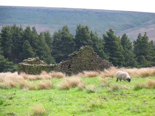
© Roger May · Geograph · CC BY-SA 2.0
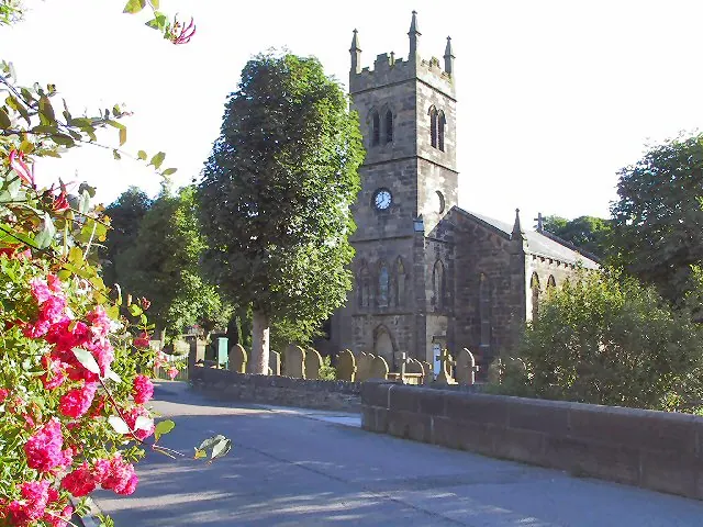
© Roger May · Geograph · CC BY-SA 2.0
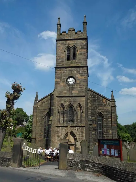
© Steve Fareham · Geograph · CC BY-SA 2.0
Images © their respective photographers, licensed under CC BY-SA 2.0 and reused here with attribution. Photographs depict listed buildings, churches and monuments near this settlement and may show neighbouring villages.
Data derived from the Open Domesday project (opendomesday.org), based on the Domesday Book dataset compiled by Professor J.J.N. Palmer and team. The Domesday Book (1086) is in the public domain.
Found an inaccuracy? [email protected]