Hollingworth in the Domesday Book (1086)
Hollingworth appears in the Domesday Book of 1086, entered under the hundred of Hamestan in Cheshire.
Other Settlements in Hamestan
- Adlington
- Bosley
- Bramhall
- Bredbury
- Butley
- Capesthorne
- Cheadle
- Chelford
- Cranage
- Gawsworth
- Henbury
- Hungrewenitune
- Kermincham
- Leighton
The Meaning of the Name
The name Hollingworth is of Anglo-Saxon origin. Its final element derives from the Old English word worð, an enclosure or homestead. The first element is most likely a personal name or an early descriptive term, now difficult to recover with certainty. Taken together the name probably meant something close to ‘a enclosure’.
Remarkably, the name has changed little since 1086, when the Domesday scribes wrote it as Hollingworth.
Listed Buildings Near Hollingworth
Historic England records 19 listed buildings within about a mile of Hollingworth. Listing protects structures of special architectural or historic interest, graded I (exceptional), II* (particularly important) and II.
Grade II
- Barn and Byre at Meadowbank Farm - 0.28 km
- Meadowbank Farmhouse - 0.3 km
- 3 and 5, Meadow Bank - 0.3 km
- Minorca House - 0.35 km
- Manor Cottages - 0.37 km
- Arrowscroft House - 0.38 km
- Thorncliff Hall - 0.47 km
- Gun Inn - 0.5 km
- Thorncliff Barn - 0.52 km
- Hollingworth War Memorial - 0.53 km
- Millbrook House - 0.55 km
- Throstle Nest Cottages and Railings - 0.67 km
- Haybarn and Cartshed at Widowscroft Farm - 0.79 km
- Widowscroft Farmhouse - 0.8 km
- Woolley Farmhouse - 0.81 km
- Arnfield Tower - 0.93 km
- Roman Catholic Church of St Charles Borromeo and Attached Presbytery - 1.05 km
- Landslow Green Farmhouse - 1.18 km
- Ivydene, Mottram Old Hall - 1.24 km
Scheduled Monuments Near Hollingworth
Scheduled monuments are nationally important archaeological sites given legal protection. 1 lies within roughly a mile of Hollingworth:
- Melandra Castle Roman fort - 1.47 km
Hollingworth Today
Today Hollingworth lies within the administrative area of Tameside.
Read more about modern Hollingworth on Wikipedia .
Nearby Domesday Settlements
Other places recorded in the 1086 survey within a few miles:
- Hadfield - 2.0 km E
- Tintwistle - 2.2 km NE
- Higher and Lower Dinting - 2.8 km SE
- Padfield and Little Padfield - 3.0 km E
- Longdendale - 3.2 km E
- Charlesworth - 4.0 km S
Heritage Around Hollingworth
Photographs of churches, listed buildings and monuments in the vicinity, contributed by volunteers to the Geograph project and reused here under a Creative Commons licence.
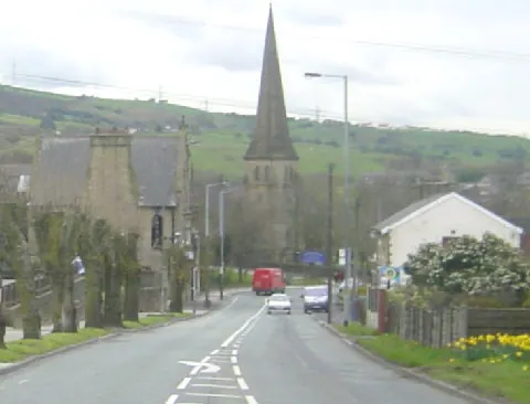
© Martin Clark · Geograph · CC BY-SA 2.0
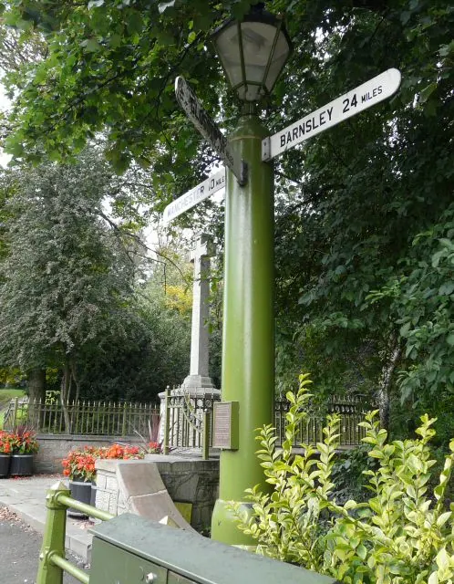
© Gerald England · Geograph · CC BY-SA 2.0
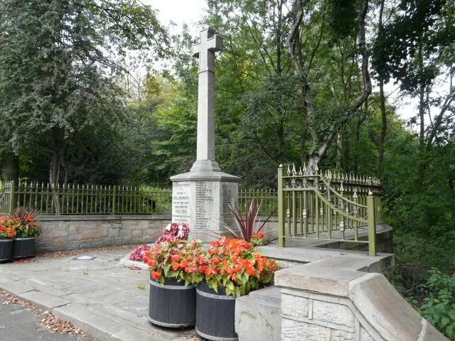
© Gerald England · Geograph · CC BY-SA 2.0
Images © their respective photographers, licensed under CC BY-SA 2.0 and reused here with attribution. Photographs depict listed buildings, churches and monuments near this settlement and may show neighbouring villages.
Data derived from the Open Domesday project (opendomesday.org), based on the Domesday Book dataset compiled by Professor J.J.N. Palmer and team. The Domesday Book (1086) is in the public domain.
Found an inaccuracy? [email protected]