Holker in the Domesday Book (1086)
Holker appears in the Domesday Book of 1086, entered under the hundred of Craven in Yorkshire.
Other Settlements in Craven
- Addingham
- Airton
- Anley
- Appletreewick
- Arncliffe
- Arnford
- Barnoldswick
- Bashall [Eaves]
- Battersby [Barn]
- Beamsley
- Birkby [Hall]
- Bogeuurde
- Bolton [Abbey]
- Bolton [by Bowland]
The Meaning of the Name
The origin of the name Holker is not securely established from its modern form alone; like many settlement names in the North it likely combines an Old English or Old Norse personal name with a landscape term.
Remarkably, the name has changed little since 1086, when the Domesday scribes wrote it as Holker.
Listed Buildings Near Holker
Historic England records 40 listed buildings within about a mile of Holker. Listing protects structures of special architectural or historic interest, graded I (exceptional), II* (particularly important) and II.
Grade II*
- Holker Hall and Terrace Wall Approximately 70 Metres to Garden to South East - 0.69 km
- Cark Hall North Cottage South Cottage - 0.74 km
Grade II
- Priest Bridge - 0.35 km
- High Bank Side Farmhouse and Outbuilding - 0.51 km
- Trough Approximately 35 Metres to South of Pear Tree Cottage - 0.55 km
- Pear Tree Cottage Upper Pear Tree Cottage - 0.55 km
- Whitegates Cottages - 0.57 km
- Dove Cottage Mackereth’s Cottage - 0.58 km
- Park View Cottages - 0.61 km
- Stable Building to South East of Holker Hall - 0.62 km
- Farmbuilding to the North of Shorthorn Farmhouse - 0.63 km
- Park View, Rose Cottage, Rose Dene - 0.66 km
- Summer House Approximately 95 Metres North West of Cark Hall - 0.66 km
- Shorthorn Farmhouse - 0.66 km
- Underpass Approximately 120 Metres North West of Whitegate Cottages - 0.68 km
- South Lodge to Holker Hall - 0.7 km
- Entrance Gates and Railings to Holker Hall - 0.71 km
- Old School Building School House - 0.74 km
- Numbers 3 and 4 Holker Cottages - 0.78 km
- Numbers 1 and 2 Holker Cottages - 0.78 km
- North Lodge and Gate Piers to Holker Hall - 0.86 km
- Railings Opposite Cark Manor Cottage, Railings and Gate - 0.87 km
- Cark Manor Cottage, Railings and Gate - 0.88 km
- Middle Birkby Farmhouse and Attached Outbuilding - 0.89 km
…and 16 more listed structures in the area.
Scheduled Monuments Near Holker
Scheduled monuments are nationally important archaeological sites given legal protection. 1 lies within roughly a mile of Holker:
- Peter Hill, Cark - 1.07 km
Holker Today
Today Holker lies within the administrative area of Lower Holker.
Nearby Domesday Settlements
Other places recorded in the 1086 survey within a few miles:
- Birkby Hall - 1.0 km E
- Walton Hall - 1.0 km N
- Cartmel - 1.4 km NE
- Bardsea - 6.7 km SW
- High Newton - 7.2 km NE
- Ulverston - 8.0 km W
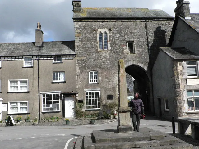
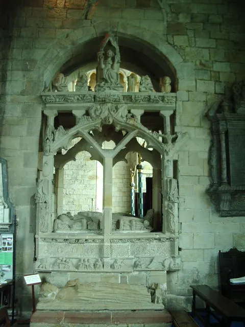
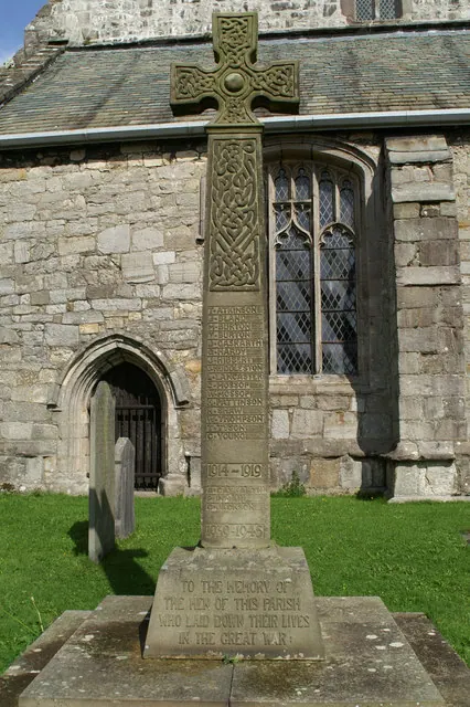
Heritage Around Holker
Photographs of churches, listed buildings and monuments in the vicinity, contributed by volunteers to the Geograph project and reused here under a Creative Commons licence.
© John Berry · Geograph · CC BY-SA 2.0
© Alexander P Kapp · Geograph · CC BY-SA 2.0
© David Long · Geograph · CC BY-SA 2.0
Images © their respective photographers, licensed under CC BY-SA 2.0 and reused here with attribution. Photographs depict listed buildings, churches and monuments near this settlement and may show neighbouring villages.
Data derived from the Open Domesday project (opendomesday.org), based on the Domesday Book dataset compiled by Professor J.J.N. Palmer and team. The Domesday Book (1086) is in the public domain.
Found an inaccuracy? [email protected]