Hipperholme in the Domesday Book (1086)
The 1086 Domesday survey records the settlement of Hipperholme, entered under the hundred of Morley in Yorkshire.
Other Settlements in Morley
- Allerton
- Armley
- Batley
- Beeston
- Bolton
- Bowling
- Bradford
- Bramley
- Calverley
- Carlton
- Chellow [Grange]
- Clayton
- Clifton
- Cruttonstall
The Meaning of the Name
The name Hipperholme is of Scandinavian origin. Its final element derives from the Old Norse word holmr, an island or patch of raised ground in marsh. The first element is most likely a personal name or an early descriptive term, now difficult to recover with certainty. Taken together the name probably meant something close to ‘a island’.
Names of this type are a fingerprint of Scandinavian settlement: they cluster across the old Danelaw, where Norse-speaking settlers renamed or founded villages from the late 9th century onward.
Remarkably, the name has changed little since 1086, when the Domesday scribes wrote it as Hipperholme.
Listed Buildings Near Hipperholme
Historic England records 35 listed buildings within about a mile of Hipperholme. Listing protects structures of special architectural or historic interest, graded I (exceptional), II* (particularly important) and II.
Grade II
- Whitehall Hotel - 0.12 km
- West View - 0.2 km
- South Edge House - 0.32 km
- Hipperholme Grammar School - 0.38 km
- Thornhill House - 0.39 km
- 3, 4,5 and 6, Brook Green - 0.41 km
- 16 and 17, Towngate - 0.42 km
- Archway in South Garden Wall of Numbers 18-20 - 0.44 km
- 18-20, Towngate - 0.45 km
- Ryders Court - 0.45 km
- Barn to West of Numbers 19 and 20 - 0.47 km
- The Travellers Public House - 0.48 km
- Former Lightcliffe United Reformed Church - 0.6 km
- Milestone Adjacent to Entrance to Hopewell House at Ngr Se 132257 - 0.67 km
- Yew Trees - 0.7 km
- 113 and 115, Wakefield Road - 0.83 km
- Harley Head Farmhouse - 0.88 km
- Barn to North East of Lower Place Farmhouse - 0.92 km
- Lower Place Farmhouse - 0.94 km
- Bridge to Crow Nest Park - 0.94 km
- Wynteredge Hall - 1.04 km
- Mytholme Farmhouse - 1.06 km
- Gate Piers to Church of St Matthew - 1.06 km
- Numbers 1 and 2 Farm Cottages to East of Wynteredge Hall - 1.06 km
…and 11 more listed structures in the area.
Scheduled Monuments Near Hipperholme
Scheduled monuments are nationally important archaeological sites given legal protection. 1 lies within roughly a mile of Hipperholme:
- Magna Via - 1.22 km
Hipperholme Today
Today Hipperholme lies within the administrative area of Calderdale, and the settlement recorded a population of 11,308 at recent figures. Nine and a half centuries separate that figure from the small rural community the Domesday survey recorded here in 1086.
Read more about modern Hipperholme on Wikipedia .
Nearby Domesday Settlements
Other places recorded in the 1086 survey within a few miles:
- Northowram - 1.4 km NW
- Southowram - 2.2 km SW
- Shelf - 3.0 km N
- Wyke - 3.6 km NE
- Rastrick - 4.1 km S
- Elland - 4.5 km SW
Heritage Around Hipperholme
Photographs of churches, listed buildings and monuments in the vicinity, contributed by volunteers to the Geograph project and reused here under a Creative Commons licence.
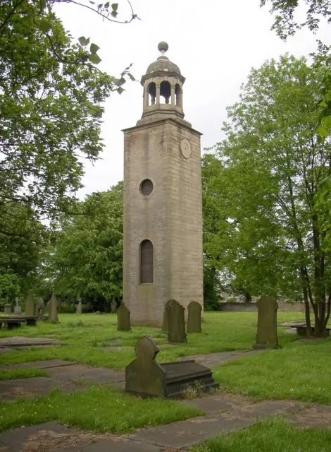
© Humphrey Bolton · Geograph · CC BY-SA 2.0
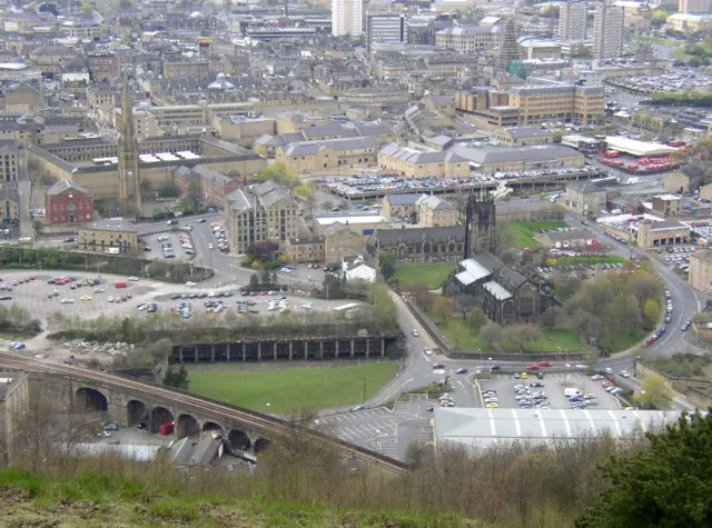
© Humphrey Bolton · Geograph · CC BY-SA 2.0
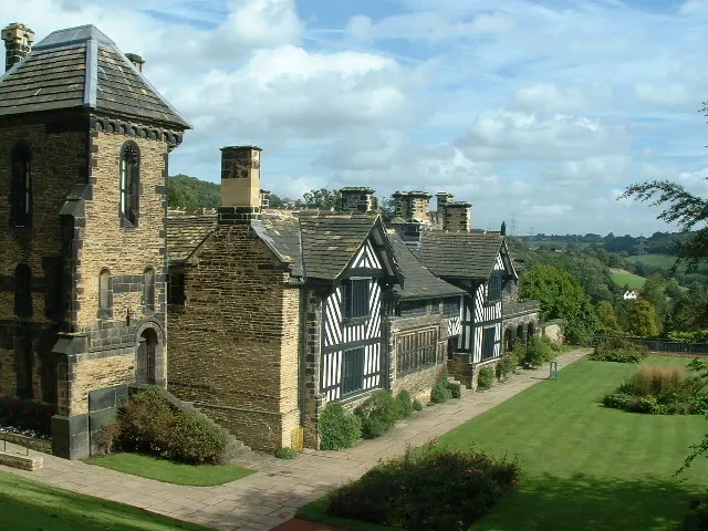
© Nigel Homer · Geograph · CC BY-SA 2.0
Images © their respective photographers, licensed under CC BY-SA 2.0 and reused here with attribution. Photographs depict listed buildings, churches and monuments near this settlement and may show neighbouring villages.
Data derived from the Open Domesday project (opendomesday.org), based on the Domesday Book dataset compiled by Professor J.J.N. Palmer and team. The Domesday Book (1086) is in the public domain.
Found an inaccuracy? [email protected]