Hillgrips in the Domesday Book (1086)
Hillgrips is named in the Domesday Book, compiled by Norman commissioners in 1086, entered under the hundred of Dic in Yorkshire.
Other Settlements in Dic
- Aislaby
- Allerston
- Appleton [le Moors]
- Aschelesmersc
- Aschilesmares
- Barton [le Street]
- Baschebi
- Baschesbi
- Brompton
- Burniston
- Burton [Dale]
- Cawthorn
- Cayton
- Chigogemers
The Meaning of the Name
The origin of the name Hillgrips is not securely established from its modern form alone; like many settlement names in the North it likely combines an Old English or Old Norse personal name with a landscape term.
Remarkably, the name has changed little since 1086, when the Domesday scribes wrote it as Hillgrips.
Scheduled Monuments Near Hillgrips
Scheduled monuments are nationally important archaeological sites given legal protection. 13 lie within roughly a mile of Hillgrips:
- Bowl barrow 950m north of Betton Farm - 0.41 km
- Bowl barrow 700m north of Betton Farm - 0.43 km
- Bowl barrow 920m north of Betton Farm - 0.49 km
- Bowl barrow 1300m north of Betton Farm - 0.57 km
- Round barrow 200m north of Keepers Cottage - 0.61 km
- Round barrow 520m north west of Keepers Cottage - 0.79 km
- Skell Dikes: a prehistoric linear boundary with two associated round barrows and an adjoining pit alignment - 0.82 km
- Round barrow in Raincliffe Woods, 420m north of Osborne Lodge - 1.3 km
- Round barrow 60m west of Beacon Farm - 1.4 km
- Round barrow 20m west of Beacon Farm - 1.45 km
…and 3 more.
Nearby Domesday Settlements
Other places recorded in the 1086 survey within a few miles:
- East Ayton - 2.0 km S
- Newton - 2.2 km SW
- West Ayton - 2.2 km SW
- Hutton Buscel - 2.8 km SW
- Preston Hill - 2.8 km SW
- Irton - 2.8 km SE
Heritage Around Hillgrips
Photographs of churches, listed buildings and monuments in the vicinity, contributed by volunteers to the Geograph project and reused here under a Creative Commons licence.
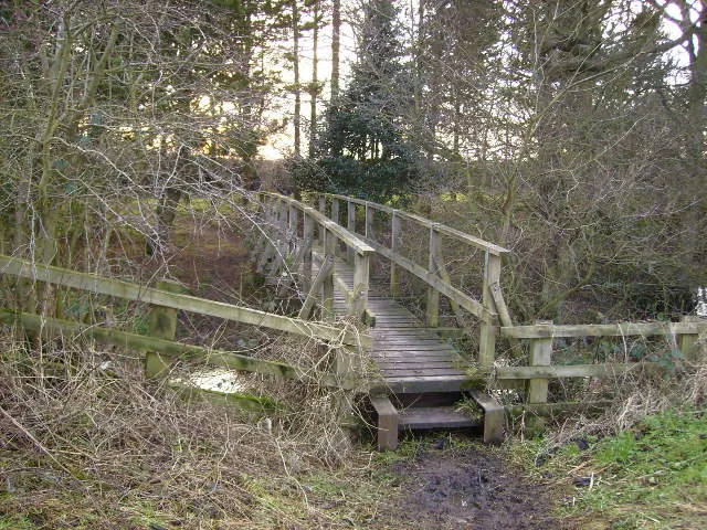
© Phil Catterall · Geograph · CC BY-SA 2.0
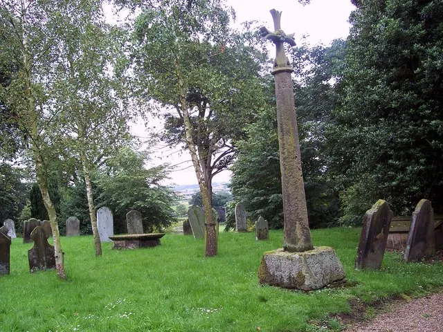
© Maigheach-gheal · Geograph · CC BY-SA 2.0
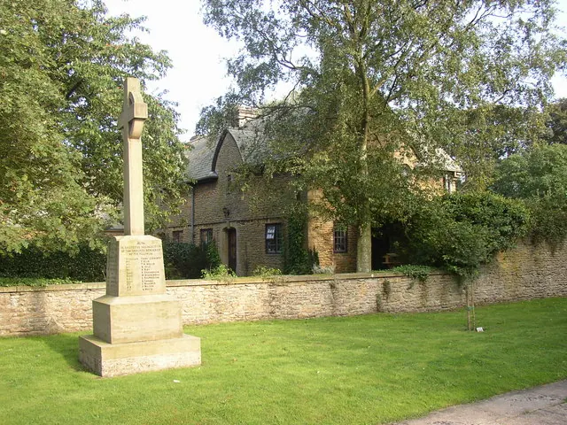
© Humphrey Bolton · Geograph · CC BY-SA 2.0
Images © their respective photographers, licensed under CC BY-SA 2.0 and reused here with attribution. Photographs depict listed buildings, churches and monuments near this settlement and may show neighbouring villages.
Data derived from the Open Domesday project (opendomesday.org), based on the Domesday Book dataset compiled by Professor J.J.N. Palmer and team. The Domesday Book (1086) is in the public domain.
Found an inaccuracy? [email protected]