Hildenley Hall in the Domesday Book (1086)
Hildenley Hall is named in the Domesday Book, compiled by Norman commissioners in 1086, entered under the hundred of Bulford in Yorkshire. The survey assessed Hildenley Hall at 50 carucates of taxable land.
Most significantly, Hildenley Hall is recorded as waste in 1086 - land rendered uninhabitable and valueless. Before the Conquest, the settlement had been assessed at 24 shillings; by 1086 that value had collapsed entirely. This pattern - prosperity before 1066, devastation by 1086 - is the unmistakable signature of the Harrying of the North , William I’s campaign of systematic destruction across Yorkshire in 1069–70.
Other Settlements in Bulford
- Aldwark
- Alne
- Barnby [House]
- Barton [le Willows]
- Beningbrough
- Bossall
- Brafferton
- Brandsby
- Bulmer
- Buttercrambe
- Carlton [Farm]
- Claxton
- Coneysthorpe
- Corburn
The Meaning of the Name
The name Hildenley Hall is of Anglo-Saxon origin. Its final element derives from the Old English word lēah, a woodland clearing or glade. The first element is most likely a personal name or an early descriptive term, now difficult to recover with certainty. Taken together the name probably meant something close to ‘a clearing’.
Remarkably, the name has changed little since 1086, when the Domesday scribes wrote it as Hildenley Hall.
Scheduled Monuments Near Hildenley Hall
Scheduled monuments are nationally important archaeological sites given legal protection. 5 lie within roughly a mile of Hildenley Hall:
- Round barrow 250m NNE of Easthorpe Cottages - 1.35 km
- Round barrow 310m NNE of Easthorpe Lodge - 1.46 km
- Round barrow 330m north of Easthorpe Lodge - 1.51 km
- Round barrow 360m north of Easthorpe Lodge - 1.55 km
- Round barrow 380m NNW of Easthorpe Lodge - 1.58 km
Hildenley Hall Today
Today Hildenley Hall lies within the administrative area of Amotherby.
Read more about modern Hildenley on Wikipedia .
Nearby Domesday Settlements
Other places recorded in the 1086 survey within a few miles:
- Easthorpe House - 1.4 km NW
- Henderskelfe - 3.0 km W
- Coneysthorpe - 3.2 km W
- Amotherby - 3.2 km N
- Swinton - 3.2 km N
- Appleton le Street - 3.2 km N
Heritage Around Hildenley [Hall]
Photographs of churches, listed buildings and monuments in the vicinity, contributed by volunteers to the Geograph project and reused here under a Creative Commons licence.
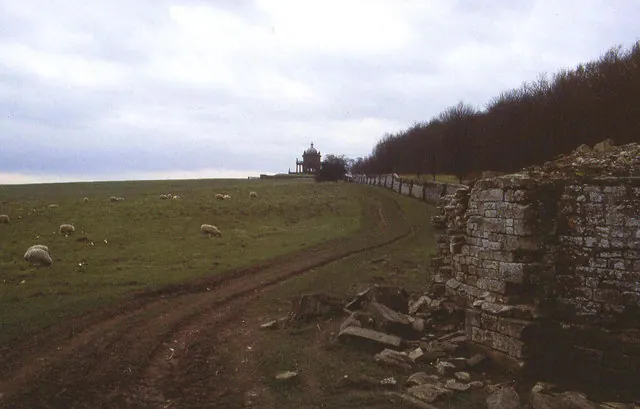
© Chris Heaton · Geograph · CC BY-SA 2.0
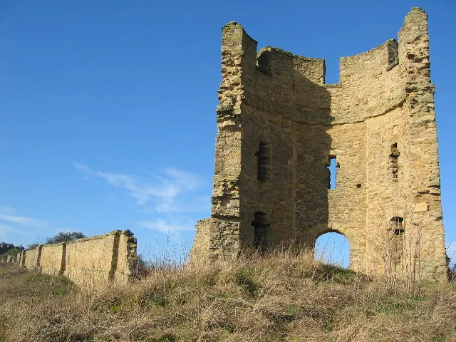
© Chris McLean · Geograph · CC BY-SA 2.0
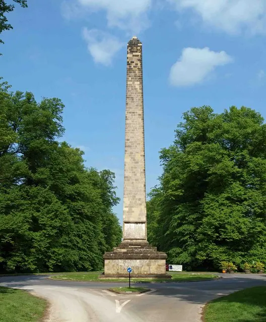
© Steve Fareham · Geograph · CC BY-SA 2.0
Images © their respective photographers, licensed under CC BY-SA 2.0 and reused here with attribution. Photographs depict listed buildings, churches and monuments near this settlement and may show neighbouring villages.
Data derived from the Open Domesday project (opendomesday.org), based on the Domesday Book dataset compiled by Professor J.J.N. Palmer and team. The Domesday Book (1086) is in the public domain.
Found an inaccuracy? [email protected]