Higher and Lower Penwortham in the Domesday Book (1086)
The 1086 Domesday survey records the settlement of Higher and Lower Penwortham, entered under the hundred of Leyland in Cheshire.
Other Settlements in Leyland
The Meaning of the Name
The name Higher and Lower Penwortham is of Anglo-Saxon origin. Its final element derives from the Old English word hām, a homestead or village. The first element is most likely a personal name or an early descriptive term, now difficult to recover with certainty. Taken together the name probably meant something close to ‘a homestead’.
Remarkably, the name has changed little since 1086, when the Domesday scribes wrote it as Higher and Lower Penwortham.
Listed Buildings Near Higher and Lower Penwortham
Historic England records 245 listed buildings within about a mile of Higher and Lower Penwortham. Listing protects structures of special architectural or historic interest, graded I (exceptional), II* (particularly important) and II.
Grade II
- Railway Viaduct Over River Ribble - 0.09 km
- Urn Approximately 50 Metres South West of Terrace Steps on Upper Terrace of Park - 0.15 km
- Urn Approximately 2 Metres North East of Terrace Steps on Upper Terrace of Park - 0.17 km
- Fountain in Pond Approximately 65 Metres South East of Derby Monument - 0.18 km
- Urn Approximately 25 Metres South West of Terrace Steps on Upper Terrace of Park - 0.19 km
- Terrace Steps With Balustrades and Urns in Centre of Upper Terrace - 0.2 km
- Derby Monument - 0.21 km
- Bridge at South End of Railway Embankment Between Avenham Park and Miller Park - 0.21 km
- Urn Approximately 2 Metres South West of Terrace Steps on Upper Terrace of Park - 0.21 km
- Urn Approximately 25 Metres North East of Terrace Steps on Upper Terrace of Park - 0.24 km
- Urn Approximately 50 Metres North East of Terrace Steps on Upper Terrace of Park - 0.27 km
- 8, East Cliff - 0.29 km
- 7, East Cliff - 0.31 km
- Railway Bridge Over Drive Between Avenham Park and Miller Park - 0.31 km
- 6, East Cliff - 0.33 km
- 72,74,76, West Cliff - 0.33 km
- 66,68, West Cliff - 0.37 km
- Boer War Memorial, Approximately 75 Metres South of Overleigh House(not Included) - 0.38 km
- 60, West Cliff - 0.4 km
- 54,56, West Cliff - 0.43 km
- 48, West Cliff - 0.47 km
- The Rectory - 0.5 km
- 39-57, West Cliff - 0.5 km
- 42, West Cliff - 0.5 km
…and 221 more listed structures in the area.
Scheduled Monuments Near Higher and Lower Penwortham
Scheduled monuments are nationally important archaeological sites given legal protection. 3 lie within roughly a mile of Higher and Lower Penwortham:
- Penwortham Old Bridge - 0.61 km
- Castle Hill motte - 1.28 km
- Roman settlement and industrial area at Winery Lane - 1.59 km
Higher and Lower Penwortham Today
Today Higher and Lower Penwortham lies within the administrative area of South Ribble, and the settlement recorded a population of 22,561 at the 2021 census. Nine and a half centuries separate that figure from the small rural community the Domesday survey recorded here in 1086.
Read more about modern Penwortham on Wikipedia .
Nearby Domesday Settlements
Other places recorded in the 1086 survey within a few miles:
- Preston - 1.4 km NE
- Walton -le-Dale - 2.0 km E
- Ashton on Ribble - 2.2 km NW
- Fishwick - 3.2 km E
- Lea - 5.4 km W
- Broughton - 6.1 km N
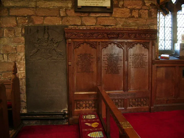
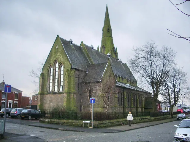
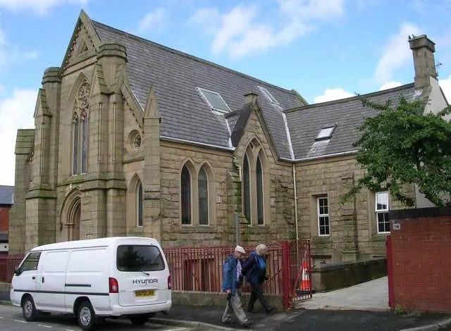
Heritage Around [Higher and Lower] Penwortham
Photographs of churches, listed buildings and monuments in the vicinity, contributed by volunteers to the Geograph project and reused here under a Creative Commons licence.
© Alexander P Kapp · Geograph · CC BY-SA 2.0
© Alexander P Kapp · Geograph · CC BY-SA 2.0
© Betty Longbottom · Geograph · CC BY-SA 2.0
Images © their respective photographers, licensed under CC BY-SA 2.0 and reused here with attribution. Photographs depict listed buildings, churches and monuments near this settlement and may show neighbouring villages.
Data derived from the Open Domesday project (opendomesday.org), based on the Domesday Book dataset compiled by Professor J.J.N. Palmer and team. The Domesday Book (1086) is in the public domain.
Found an inaccuracy? [email protected]