High Worsall in the Domesday Book (1086)
The 1086 Domesday survey records the settlement of High Worsall, entered under the hundred of Allerton in Yorkshire. The survey assessed High Worsall at 4.7 carucates of taxable land.
At the time of the survey, High Worsall supported a recorded population of 9 villagers, 14 smallholders, 2 slaves, working 7 ploughs between them.
By 1086 High Worsall was worth 10.15 shillings, up from 6 shillings before the Conquest – which sets it apart from the many nearby villages left waste or devalued.
The survey lists 3 manors at High Worsall under different lords. Splitting a single settlement between multiple tenants was common across the North – Saxon estates broken up and handed to William’s followers after 1066.
Resources Recorded at High Worsall (1086)
- Cattle: 14
- Pigs: 6
- Sheep: 12
- Horses (cobs): 1
- Woodland: 100 pigs
Other Settlements in Allerton
- Ainderby [Steeple]
- Appleton [Wiske]
- Arncliffe [Hall]
- Birkby
- Borrowby
- Brompton
- Cowesby
- Crosby [Grange]
- Dale [Town]
- Deighton
- Ellerbeck
- Foxton
- Girsby
- Hawnby
The Meaning of the Name
The origin of the name High Worsall is not securely established from its modern form alone; like many settlement names in the North it likely combines an Old English or Old Norse personal name with a landscape term.
Remarkably, the name has changed little since 1086, when the Domesday scribes wrote it as High Worsall.
Listed Buildings Near High Worsall
Historic England records 8 listed buildings within about a mile of High Worsall. Listing protects structures of special architectural or historic interest, graded I (exceptional), II* (particularly important) and II.
Grade II*
- Worsall Hall - 0.92 km
Grade II
- Holme Farmhouse - 0.77 km
- Front Ha-ha Wall Gate Piers Gates to South of Worsall Hall - 0.92 km
- Wall to West of Kitchen Garden of Worsall Hall - 0.93 km
- Dovecot to East of Worsall Hall - 0.96 km
- Shelter - 0.99 km
- Piersburgh Grange With Granary Wing to Left - 1.08 km
- Church of All Saints - 1.09 km
Scheduled Monuments Near High Worsall
Scheduled monuments are nationally important archaeological sites given legal protection. 1 lies within roughly a mile of High Worsall:
High Worsall Today
Today High Worsall lies within the administrative area of Hambleton, and the settlement recorded a population of 29 at the 2021 census. Nine and a half centuries separate that figure from the small rural community the Domesday survey recorded here in 1086.
Read more about modern High Worsall on Wikipedia .
Nearby Domesday Settlements
Other places recorded in the 1086 survey within a few miles:
- Low Worsall - 1.4 km NE
- Girsby - 3.2 km W
- Yarm - 4.2 km NE
- Over Dinsdale Grange - 4.5 km NW
- Hornby - 4.5 km SW
- Kirk Leavington - 5.0 km E
Heritage Around [High] Worsall
Photographs of churches, listed buildings and monuments in the vicinity, contributed by volunteers to the Geograph project and reused here under a Creative Commons licence.
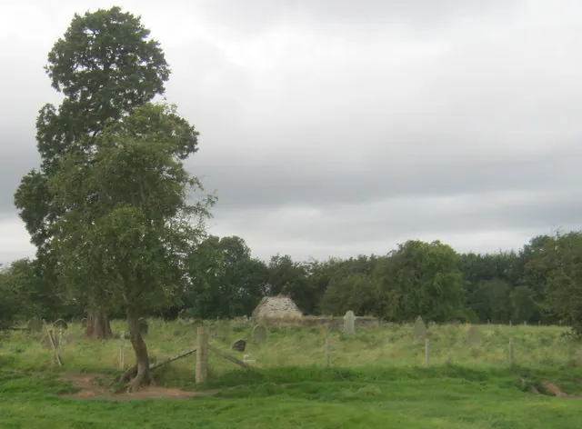
© peter robinson · Geograph · CC BY-SA 2.0
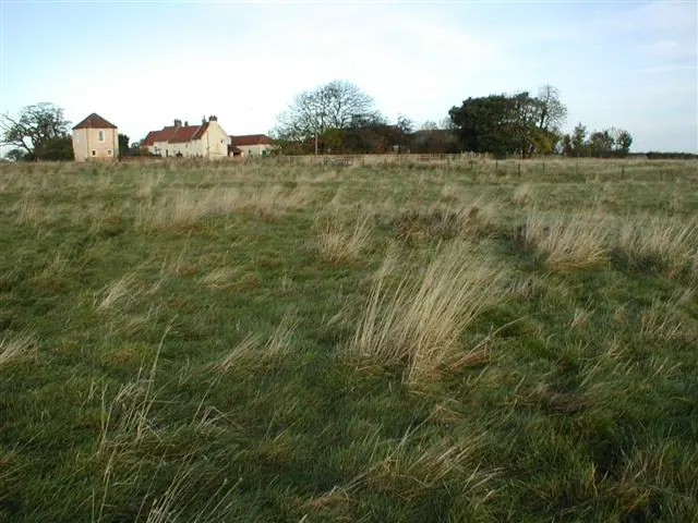
© Mick Garratt · Geograph · CC BY-SA 2.0
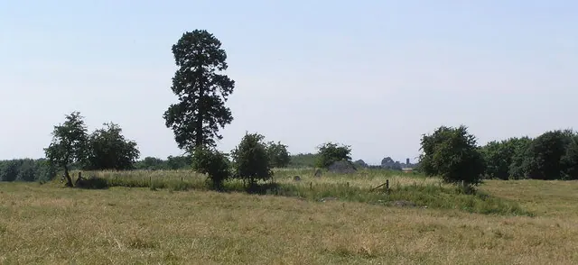
© Hugh Mortimer · Geograph · CC BY-SA 2.0
Images © their respective photographers, licensed under CC BY-SA 2.0 and reused here with attribution. Photographs depict listed buildings, churches and monuments near this settlement and may show neighbouring villages.
Data derived from the Open Domesday project (opendomesday.org), based on the Domesday Book dataset compiled by Professor J.J.N. Palmer and team. The Domesday Book (1086) is in the public domain.
Found an inaccuracy? [email protected]