High Stakesby in the Domesday Book (1086)
High Stakesby is named in the Domesday Book, compiled by Norman commissioners in 1086, entered under the hundred of Langbaurgh in Yorkshire.
Other Settlements in Langbaurgh
- Acklam
- Airy [Holme]
- Aislaby
- Arnodestorp
- Baldebi
- Barnaby
- Barwick
- Battersby
- Bergolbi
- Berguluesbi
- Blaten [Carr]
- Borrowby
- Breck
- Brotton
The Meaning of the Name
The name High Stakesby is of Scandinavian origin. Its final element derives from the Old Norse word bý, a farmstead or village. The first element is most likely a personal name or an early descriptive term, now difficult to recover with certainty. Taken together the name probably meant something close to ‘a farmstead’.
Names of this type are a fingerprint of Scandinavian settlement: they cluster across the old Danelaw, where Norse-speaking settlers renamed or founded villages from the late 9th century onward.
Remarkably, the name has changed little since 1086, when the Domesday scribes wrote it as High Stakesby.
Listed Buildings Near High Stakesby
Historic England records 182 listed buildings within about a mile of High Stakesby. Listing protects structures of special architectural or historic interest, graded I (exceptional), II* (particularly important) and II.
Grade II*
- Low Stakesby Mansion - 0.48 km
- Garden Walls to Ewe Cote Hall - 0.8 km
- Ewe Cote Hall - 0.81 km
- St Columbans - 0.95 km
- 1-6, St Hildas Terrace - 0.96 km
Grade II
- Gazebo at High Stakesby Manor House - 0.18 km
- Manor Cottage - 0.24 km
- Gazebo About 60 Yards to North of High Stakesby Manor House - 0.25 km
- Castle View - 0.26 km
- The Croft - 0.29 km
- 47 and 49, Mayfield Road - 0.44 km
- 51-59, Mayfield Road - 0.44 km
- Sneaton Castle ( St Hildas Priory) - 0.58 km
- The Old Factory - 0.67 km
- Upper Bauldbyes - 0.71 km
- Dovecote and Outbuildings to Ewe Cote Hall - 0.84 km
- Ewe Cote Hall Farmhouse - 0.84 km
- Stables to Ewe Cote Hall - 0.85 km
- The Cottages - 0.86 km
- Garden Wall to Ewe Cote Cottage - 0.86 km
- Ewe Cote Cottage - 0.87 km
- 9 and 11, Upgang Lane - 0.87 km
- Gatepiers to St Columbans - 0.87 km
- Red Gates - 0.87 km
…and 158 more listed structures in the area.
Scheduled Monuments Near High Stakesby
Scheduled monuments are nationally important archaeological sites given legal protection. 1 lies within roughly a mile of High Stakesby:
High Stakesby Today
Today High Stakesby lies within the administrative area of Scarborough.
Nearby Domesday Settlements
Other places recorded in the 1086 survey within a few miles:
Heritage Around [High] Stakesby
Photographs of churches, listed buildings and monuments in the vicinity, contributed by volunteers to the Geograph project and reused here under a Creative Commons licence.
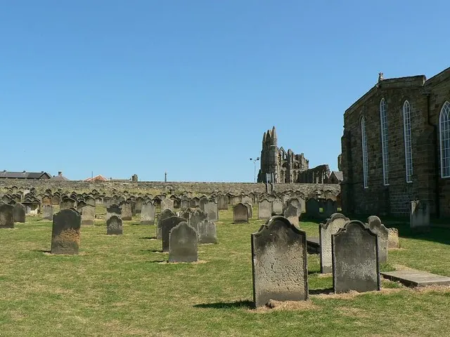
© Rich Tea · Geograph · CC BY-SA 2.0
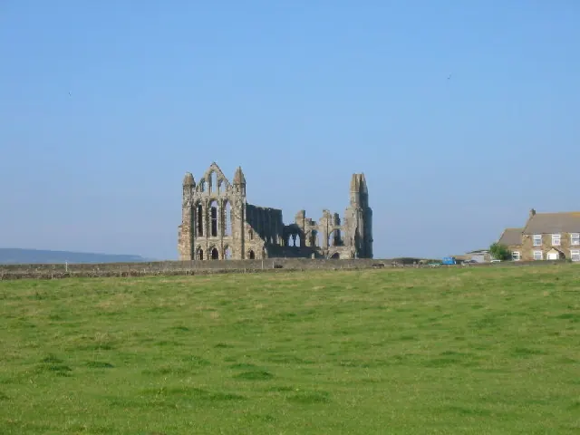
© Colin Westley · Geograph · CC BY-SA 2.0
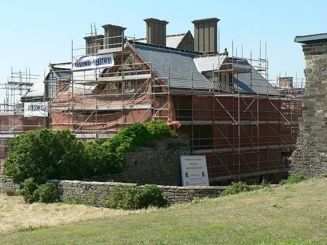
© Rich Tea · Geograph · CC BY-SA 2.0
Images © their respective photographers, licensed under CC BY-SA 2.0 and reused here with attribution. Photographs depict listed buildings, churches and monuments near this settlement and may show neighbouring villages.
Data derived from the Open Domesday project (opendomesday.org), based on the Domesday Book dataset compiled by Professor J.J.N. Palmer and team. The Domesday Book (1086) is in the public domain.
Found an inaccuracy? [email protected]