High Melton in the Domesday Book (1086)
The 1086 Domesday survey records the settlement of High Melton, entered under the hundred of Strafforth in Yorkshire. The survey assessed High Melton at 3.4 carucates of taxable land.
At the time of the survey, High Melton supported a recorded population of 8 villagers, working 7 ploughs between them.
By 1086 High Melton was worth 25 shillings, up from 18 shillings before the Conquest – which sets it apart from the many nearby villages left waste or devalued.
Resources Recorded at High Melton (1086)
- Churches: 1
- Meadow: 120 acres
Other Settlements in Strafforth
- Adwick [le Street]
- Adwick [upon Dearne]
- Armthorpe
- Aston
- Attercliffe
- Auckley
- Aughton [Hall]
- Austerfield
- Balby
- Barnbrough
- Barnby [Dun]
- Bentley
- Bilham [House]
- Billingley
The Meaning of the Name
The name High Melton is of Anglo-Saxon origin. Its final element derives from the Old English word tūn, a farmstead or village. The first element is most likely a personal name or an early descriptive term, now difficult to recover with certainty. Taken together the name probably meant something close to ‘a farmstead’.
Remarkably, the name has changed little since 1086, when the Domesday scribes wrote it as High Melton.
Listed Buildings Near High Melton
Historic England records 9 listed buildings within about a mile of High Melton. Listing protects structures of special architectural or historic interest, graded I (exceptional), II* (particularly important) and II.
Grade II*
- Church of St James - 0.46 km
Grade II
- High Melton Hall - 0.42 km
- Students Union Building to High Melton College - 0.57 km
- Numbers 1-7 (Odd) Including Wall and Outbuildings Enclosing Rear Yard - 0.59 km
- The Leylands - 0.59 km
- Manor House - 0.62 km
- Milestone Against Roadside Wall Immediately to North of Leylands Farm Cottages - 0.66 km
- Red House Farmhouse - 0.74 km
- Church of St John - 1.29 km
Scheduled Monuments Near High Melton
Scheduled monuments are nationally important archaeological sites given legal protection. 2 lie within roughly a mile of High Melton:
- Icehouse 720m south east of Bath House Farm - 0.21 km
- Wildthorpe medieval settlement 680m south of Leylands Farm - 0.58 km
High Melton Today
Today High Melton lies within the administrative area of Doncaster, and the settlement recorded a population of 245 at the 2021 census. Nine and a half centuries separate that figure from the small rural community the Domesday survey recorded here in 1086.
Read more about modern High Melton on Wikipedia .
Nearby Domesday Settlements
Other places recorded in the 1086 survey within a few miles:
- Wildthorpe - 1.0 km E
- Cadeby - 1.4 km SE
- Denaby - 2.8 km SW
- Barnbrough - 2.8 km NW
- Adwick upon Dearne - 3.0 km W
- Sprotbrough - 3.2 km E
Heritage Around [High] Melton
Photographs of churches, listed buildings and monuments in the vicinity, contributed by volunteers to the Geograph project and reused here under a Creative Commons licence.
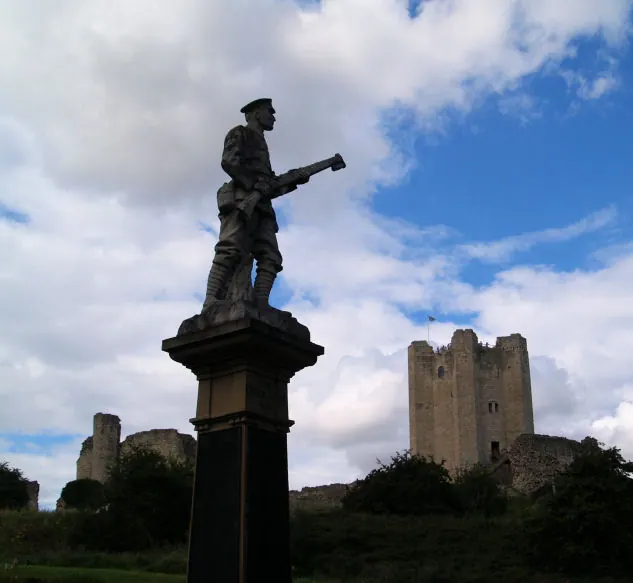
© Steve Fareham · Geograph · CC BY-SA 2.0
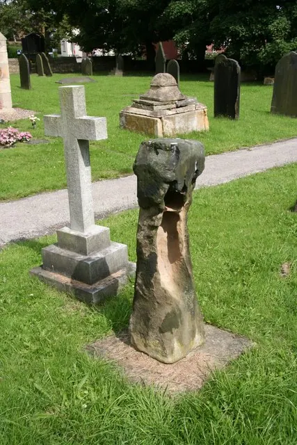
© Richard Croft · Geograph · CC BY-SA 2.0
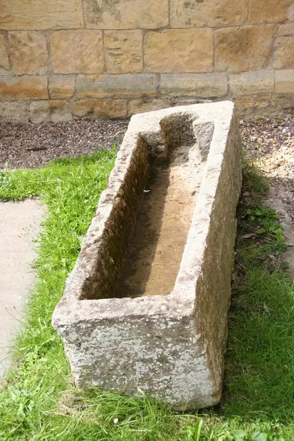
© Richard Croft · Geograph · CC BY-SA 2.0
Images © their respective photographers, licensed under CC BY-SA 2.0 and reused here with attribution. Photographs depict listed buildings, churches and monuments near this settlement and may show neighbouring villages.
Data derived from the Open Domesday project (opendomesday.org), based on the Domesday Book dataset compiled by Professor J.J.N. Palmer and team. The Domesday Book (1086) is in the public domain.
Found an inaccuracy? [email protected]