High Burton in the Domesday Book (1086)
High Burton is named in the Domesday Book, compiled by Norman commissioners in 1086, entered under the hundred of Land of Count Alan in Yorkshire.
Other Settlements in Land of Count Alan
- Achebi
- Agglethorpe
- Ainderby [Mires]
- Ainderby [Quernhow]
- Aiskew
- Aldbrough
- Allerthorpe [Hall]
- Ascam
- Ascham
- Asebi
- Aske [Hall]
- Askrigg
- Aysgarth
- Baldersby
The Meaning of the Name
The name High Burton is of Anglo-Saxon origin. Its final element derives from the Old English word tūn, a farmstead or village. The first element is most likely a personal name or an early descriptive term, now difficult to recover with certainty. Taken together the name probably meant something close to ‘a farmstead’.
Remarkably, the name has changed little since 1086, when the Domesday scribes wrote it as High Burton.
Listed Buildings Near High Burton
Historic England records 3 listed buildings within about a mile of High Burton. Listing protects structures of special architectural or historic interest, graded I (exceptional), II* (particularly important) and II.
Grade II
- Lows Mains Farmhouse - 0.56 km
- Burton House - 0.68 km
- Masham Bridge - 1.27 km
Nearby Domesday Settlements
Other places recorded in the 1086 survey within a few miles:
- High Sutton - 2.0 km W
- Masham - 2.0 km S
- High and Low Ellington - 2.2 km NW
- Swarthorpe - 2.2 km NW
- Clifton on Ure - 2.2 km NW
- Fearby - 3.2 km W
Heritage Around [High] Burton
Photographs of churches, listed buildings and monuments in the vicinity, contributed by volunteers to the Geograph project and reused here under a Creative Commons licence.
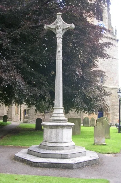
© Betty Longbottom · Geograph · CC BY-SA 2.0
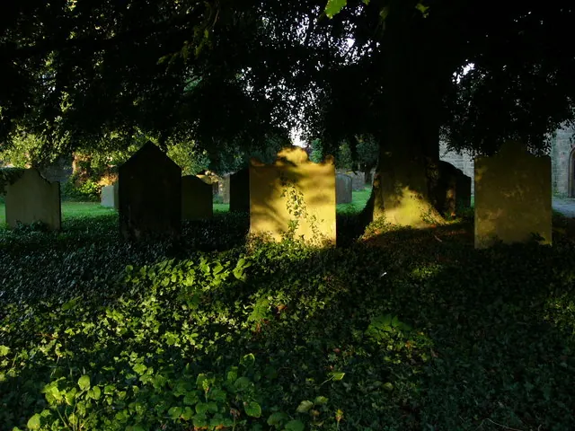
© Chris Gunns · Geograph · CC BY-SA 2.0
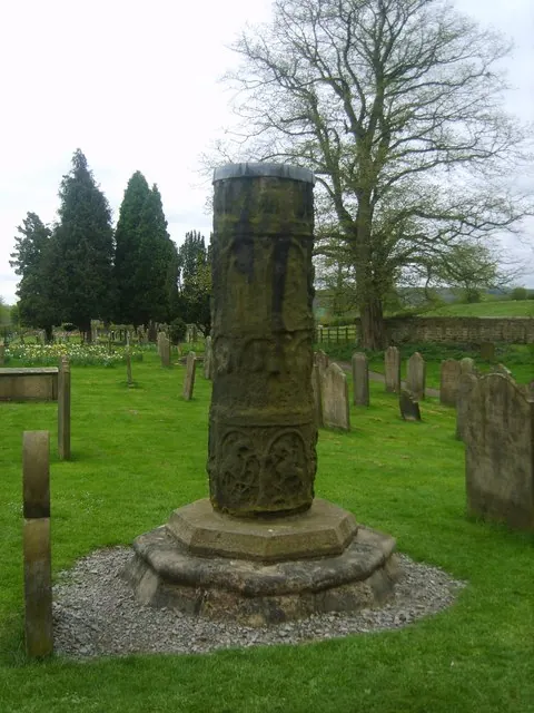
© Michael Graham · Geograph · CC BY-SA 2.0
Images © their respective photographers, licensed under CC BY-SA 2.0 and reused here with attribution. Photographs depict listed buildings, churches and monuments near this settlement and may show neighbouring villages.
Location
54.2375°N, -1.6547°W · Land of Count Alan hundred, Yorkshire
View larger map on OpenStreetMap →Data derived from the Open Domesday project (opendomesday.org), based on the Domesday Book dataset compiled by Professor J.J.N. Palmer and team. The Domesday Book (1086) is in the public domain.
Found an inaccuracy? [email protected]