High and Low Thoresby in the Domesday Book (1086)
High and Low Thoresby is named in the Domesday Book, compiled by Norman commissioners in 1086, entered under the hundred of Land of Count Alan in Yorkshire.
Other Settlements in Land of Count Alan
- Achebi
- Agglethorpe
- Ainderby [Mires]
- Ainderby [Quernhow]
- Aiskew
- Aldbrough
- Allerthorpe [Hall]
- Ascam
- Ascham
- Asebi
- Aske [Hall]
- Askrigg
- Aysgarth
- Baldersby
The Meaning of the Name
The name High and Low Thoresby is of Scandinavian origin. Its final element derives from the Old Norse word bý, a farmstead or village. The first element is most likely a personal name or an early descriptive term, now difficult to recover with certainty. Taken together the name probably meant something close to ‘a farmstead’.
Names of this type are a fingerprint of Scandinavian settlement: they cluster across the old Danelaw, where Norse-speaking settlers renamed or founded villages from the late 9th century onward.
Remarkably, the name has changed little since 1086, when the Domesday scribes wrote it as High and Low Thoresby.
Listed Buildings Near High and Low Thoresby
Historic England records 8 listed buildings within about a mile of High and Low Thoresby. Listing protects structures of special architectural or historic interest, graded I (exceptional), II* (particularly important) and II.
Grade II
- The Swan - 0.75 km
- Priory House - 1.14 km
- Lightfoot Hall and Lightfoot House - 1.18 km
- Pyra House - 1.2 km
- Pump - 1.25 km
- Hogra Farmhouse and Calf House - 1.27 km
- Manor House - 1.29 km
- Old Elm House - 1.29 km
Scheduled Monuments Near High and Low Thoresby
Scheduled monuments are nationally important archaeological sites given legal protection. 2 lie within roughly a mile of High and Low Thoresby:
- Bolton Castle - 1.38 km
- Penhill Knights Templar preceptory and earlier field system at Temple Farm - 1.47 km
High and Low Thoresby Today
Today High and Low Thoresby lies within the administrative area of Carperby-cum-Thoresby.
Nearby Domesday Settlements
Other places recorded in the 1086 survey within a few miles:
- West Bolton - 1.0 km W
- Castle Bolton - 1.0 km N
- Redmire - 1.4 km NE
- Preston under Scar - 3.2 km E
- Carperby - 3.2 km W
- Aysgarth - 3.6 km SW
Heritage Around [High and Low] Thoresby
Photographs of churches, listed buildings and monuments in the vicinity, contributed by volunteers to the Geograph project and reused here under a Creative Commons licence.
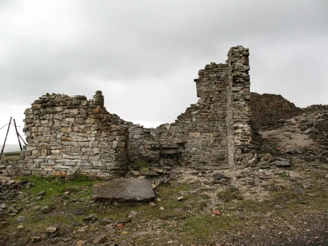
© Gordon Hatton · Geograph · CC BY-SA 2.0
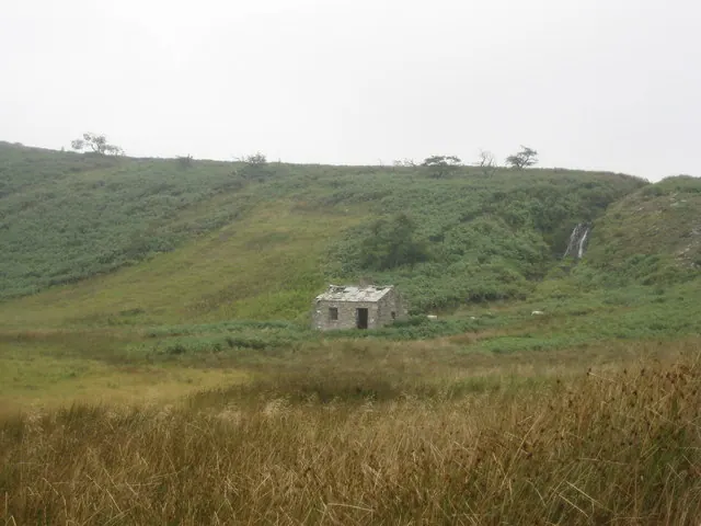
© Chris Heaton · Geograph · CC BY-SA 2.0
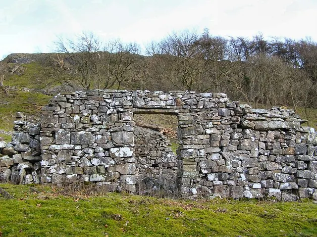
© Arnold Price · Geograph · CC BY-SA 2.0
Images © their respective photographers, licensed under CC BY-SA 2.0 and reused here with attribution. Photographs depict listed buildings, churches and monuments near this settlement and may show neighbouring villages.
Location
54.3099°N, -1.9462°W · Land of Count Alan hundred, Yorkshire
View larger map on OpenStreetMap →Data derived from the Open Domesday project (opendomesday.org), based on the Domesday Book dataset compiled by Professor J.J.N. Palmer and team. The Domesday Book (1086) is in the public domain.
Found an inaccuracy? [email protected]