High and Low Skibeden in the Domesday Book (1086)
The settlement of High and Low Skibeden is recorded in William I’s Domesday survey of 1086, entered under the hundred of Craven in Yorkshire.
Other Settlements in Craven
- Addingham
- Airton
- Anley
- Appletreewick
- Arncliffe
- Arnford
- Barnoldswick
- Bashall [Eaves]
- Battersby [Barn]
- Beamsley
- Birkby [Hall]
- Bogeuurde
- Bolton [Abbey]
- Bolton [by Bowland]
The Meaning of the Name
The origin of the name High and Low Skibeden is not securely established from its modern form alone; like many settlement names in the North it likely combines an Old English or Old Norse personal name with a landscape term.
Remarkably, the name has changed little since 1086, when the Domesday scribes wrote it as High and Low Skibeden.
Listed Buildings Near High and Low Skibeden
Historic England records 9 listed buildings within about a mile of High and Low Skibeden. Listing protects structures of special architectural or historic interest, graded I (exceptional), II* (particularly important) and II.
Grade II
- Low Skibeden Farmhouse - 0.32 km
- Milestone at About 1 Kilometre From Parish Boundary - 0.39 km
- High Skibeden Farmhouse - 0.5 km
- Boundary Stone - 0.9 km
- Embsay Station Signal Box - 1.13 km
- Old Engine House - 1.18 km
- Embsay Station Weighbridge Office - 1.2 km
- Embsay Station Cabmens Shelter - 1.2 km
- Embsay Station Passenger Building - 1.22 km
Nearby Domesday Settlements
Other places recorded in the 1086 survey within a few miles:
- Embsay - 1.0 km N
- Draughton - 2.0 km E
- Halton East - 3.2 km E
- Skipton - 3.2 km W
- Low Snaygill - 3.6 km SW
- High and Low Bradley - 4.1 km S
Heritage Around [High and Low] Skibeden
Photographs of churches, listed buildings and monuments in the vicinity, contributed by volunteers to the Geograph project and reused here under a Creative Commons licence.
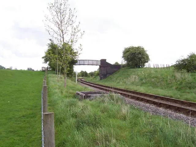
© Joe Regan · Geograph · CC BY-SA 2.0
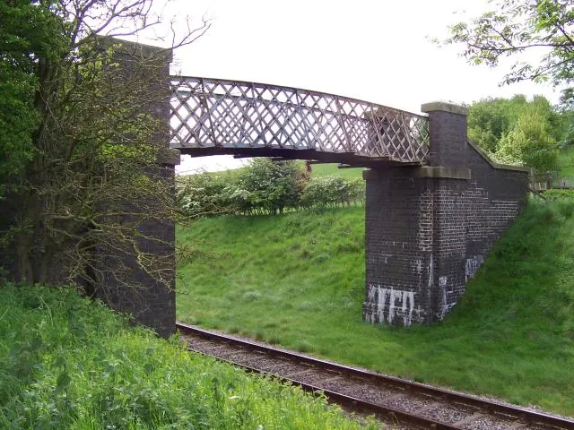
© Joe Regan · Geograph · CC BY-SA 2.0
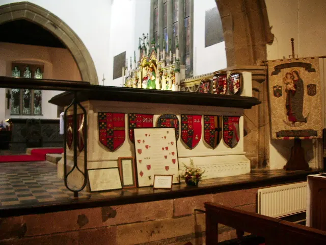
© Alexander P Kapp · Geograph · CC BY-SA 2.0
Images © their respective photographers, licensed under CC BY-SA 2.0 and reused here with attribution. Photographs depict listed buildings, churches and monuments near this settlement and may show neighbouring villages.
Data derived from the Open Domesday project (opendomesday.org), based on the Domesday Book dataset compiled by Professor J.J.N. Palmer and team. The Domesday Book (1086) is in the public domain.
Found an inaccuracy? [email protected]