High and Low Bradley in the Domesday Book (1086)
The settlement of High and Low Bradley is recorded in William I’s Domesday survey of 1086, entered under the hundred of Craven in Yorkshire. The survey assessed High and Low Bradley at 7 carucates of taxable land.
At the time of the survey, High and Low Bradley supported a recorded population of 7 villagers, working 3 ploughs between them.
The valuation dropped between 1066 and 1086. Before 1066, High and Low Bradley was worth 2 shillings; by 1086 that had dropped to 10d – a fall of 74%. Most Yorkshire villages that lost value on this scale were swept up in the Harrying of the North – William’s scorched-earth campaign of 1069–70.
The survey lists 2 manors at High and Low Bradley under different lords. Splitting a single settlement between multiple tenants was common across the North – Saxon estates broken up and handed to William’s followers after 1066.
Resources Recorded at High and Low Bradley (1086)
- Churches: 1
- Meadow: 1 acres
- Woodland: 1 * 0.5 leagues
Other Settlements in Craven
- Addingham
- Airton
- Anley
- Appletreewick
- Arncliffe
- Arnford
- Barnoldswick
- Bashall [Eaves]
- Battersby [Barn]
- Beamsley
- Birkby [Hall]
- Bogeuurde
- Bolton [Abbey]
- Bolton [by Bowland]
The Meaning of the Name
The name High and Low Bradley is of Anglo-Saxon origin. Its final element derives from the Old English word lēah, a woodland clearing or glade. The first element is most likely a personal name or an early descriptive term, now difficult to recover with certainty. Taken together the name probably meant something close to ‘a clearing’.
Remarkably, the name has changed little since 1086, when the Domesday scribes wrote it as High and Low Bradley.
Listed Buildings Near High and Low Bradley
Historic England records 14 listed buildings within about a mile of High and Low Bradley. Listing protects structures of special architectural or historic interest, graded I (exceptional), II* (particularly important) and II.
Grade II
- College Farmhouse - 0.08 km
- Scarr House and Attached Barn - 0.08 km
- Old Hall - 0.09 km
- Croft Cottage Croft Farm Farmhouse - 0.18 km
- Cottage Attached to Ghyll Farmhouse - 0.21 km
- West Lane Farm - 0.26 km
- Old Corn Mill - 0.29 km
- Hamblethorpe Farmhouse - 0.78 km
- Old Hall Farmhouse - 0.94 km
- Aire View Farmhouse - 0.95 km
- Aisled Barn Near Far Fold Farm at Grid Ref Se006494 - 0.95 km
- Moor Cottage - 0.98 km
- Cragg House - 1.01 km
- White Cottage White House - 1.29 km
Scheduled Monuments Near High and Low Bradley
Scheduled monuments are nationally important archaeological sites given legal protection. 2 lie within roughly a mile of High and Low Bradley:
- Long barrow and superimposed round cairn on Black Hill - 0.95 km
- Black Hill round cairn - 0.98 km
High and Low Bradley Today
Today High and Low Bradley lies within the administrative area of Bradleys Both.
Nearby Domesday Settlements
Other places recorded in the 1086 survey within a few miles:
Heritage Around [High and Low] Bradley
Photographs of churches, listed buildings and monuments in the vicinity, contributed by volunteers to the Geograph project and reused here under a Creative Commons licence.
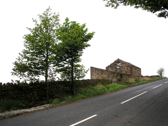
© Dr Neil Clifton · Geograph · CC BY-SA 2.0
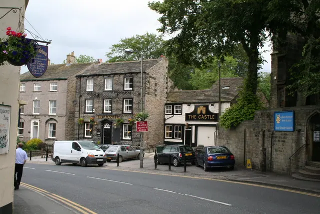
© Dr Neil Clifton · Geograph · CC BY-SA 2.0
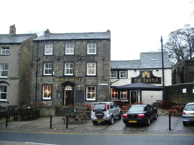
© Alexander P Kapp · Geograph · CC BY-SA 2.0
Images © their respective photographers, licensed under CC BY-SA 2.0 and reused here with attribution. Photographs depict listed buildings, churches and monuments near this settlement and may show neighbouring villages.
Data derived from the Open Domesday project (opendomesday.org), based on the Domesday Book dataset compiled by Professor J.J.N. Palmer and team. The Domesday Book (1086) is in the public domain.
Found an inaccuracy? [email protected]