High and Low Bentham in the Domesday Book (1086)
The 1086 Domesday survey records the settlement of High and Low Bentham, entered under the hundred of Amounderness in Yorkshire.
Other Settlements in Amounderness
- Aighton
- Aldcliffe
- Aldingham
- Arkholme
- Aschebi
- Ashton [Hall]
- Ashton [on Ribble]
- Austwick
- Barbon
- Bardsea
- Bare
- Barnoldswick
- Barton
- Beetham
The Meaning of the Name
The name High and Low Bentham is of Anglo-Saxon origin. Its final element derives from the Old English word hām, a homestead or village. The first element is most likely a personal name or an early descriptive term, now difficult to recover with certainty. Taken together the name probably meant something close to ‘a homestead’.
Remarkably, the name has changed little since 1086, when the Domesday scribes wrote it as High and Low Bentham.
Listed Buildings Near High and Low Bentham
Historic England records 21 listed buildings within about a mile of High and Low Bentham. Listing protects structures of special architectural or historic interest, graded I (exceptional), II* (particularly important) and II.
Grade II*
- Church of St John the Baptist - 0.24 km
- Robert Hall Farmhouse and Farm Building Adjoining to East in Same Range - 0.93 km
Grade II
- Punch Bowl Inn - 0.15 km
- Church Bridge - 0.16 km
- Barn to Right of Punch Bowl Inn - 0.17 km
- Low Bentham Bridge - 0.25 km
- Bentham Grammar School - 0.28 km
- Crow Trees Cottage - 0.32 km
- No 3 Brentwood Cottages and Brentwood End Cottage - 0.34 km
- Post Office - 0.34 km
- Brook Cottage - 0.37 km
- Stonegate House, with gate piers and wall, and The Lodge - 0.39 km
- Sun Dial Inn - 0.41 km
- Bank View - 0.44 km
- Ellergill Cottage - 0.45 km
- Ellergill House - 0.57 km
- Plague Stone - 0.72 km
- Calf Cop Farmhouse - 0.76 km
- Barn to Left of Calf Cop Farmhouse - 0.77 km
- Bentham Quaker Meeting House and Burial Ground Walls - 0.82 km
- The Ridding - 1.28 km
High and Low Bentham Today
Today High and Low Bentham lies within the administrative area of Bentham.
Read more about modern Low Bentham on Wikipedia .
Nearby Domesday Settlements
Other places recorded in the 1086 survey within a few miles:
- Barnoldswick - 2.8 km NE
- Wennington - 3.2 km W
- Burton in Lonsdale - 3.2 km N
- Cantsfield - 3.6 km NW
- Tatham - 4.0 km W
- Thornton in Lonsdale - 5.0 km NE
Heritage Around [High and Low] Bentham
Photographs of churches, listed buildings and monuments in the vicinity, contributed by volunteers to the Geograph project and reused here under a Creative Commons licence.
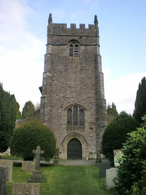
© Alexander P Kapp · Geograph · CC BY-SA 2.0
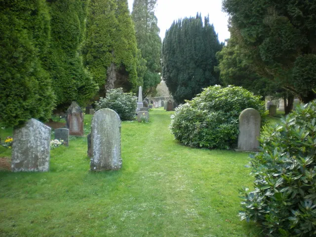
© Alexander P Kapp · Geograph · CC BY-SA 2.0
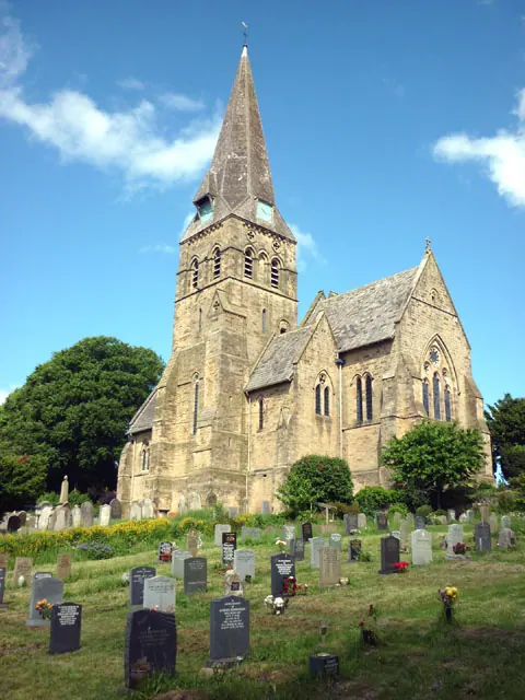
© Karl and Ali · Geograph · CC BY-SA 2.0
Images © their respective photographers, licensed under CC BY-SA 2.0 and reused here with attribution. Photographs depict listed buildings, churches and monuments near this settlement and may show neighbouring villages.
Data derived from the Open Domesday project (opendomesday.org), based on the Domesday Book dataset compiled by Professor J.J.N. Palmer and team. The Domesday Book (1086) is in the public domain.
Found an inaccuracy? [email protected]