High and Low Ackworth in the Domesday Book (1086)
The settlement of High and Low Ackworth is recorded in William I’s Domesday survey of 1086, entered under the hundred of Osgodcross in Yorkshire.
Other Settlements in Osgodcross
- Arksey
- Badsworth
- Beal
- Burgh[wallis]
- Campsall
- Darrington
- Featherstone
- Ferry [Fryston]
- Hamphall [Stubbs]
- Hensall
- Hessle
- Kellington
- Knottingley
- Minsthorpe
The Meaning of the Name
The name High and Low Ackworth is of Anglo-Saxon origin. Its final element derives from the Old English word worð, an enclosure or homestead, while the first element appears to represent oak (OE āc). Taken together the name probably meant something close to ’the oak enclosure’.
Remarkably, the name has changed little since 1086, when the Domesday scribes wrote it as High and Low Ackworth.
Listed Buildings Near High and Low Ackworth
Historic England records 25 listed buildings within about a mile of High and Low Ackworth. Listing protects structures of special architectural or historic interest, graded I (exceptional), II* (particularly important) and II.
Grade II*
- Church of St Cuthbert - 0.69 km
- The Old Hall and Attached Garden Wall to Front - 0.89 km
Grade II
- Guide Post on Traffic Island at Junction With Long Lane - 0.45 km
- Plague Stone at Junction With Sandy Gate Lane - 0.54 km
- 130 and 132, Pontefract Road - 0.59 km
- 126, Pontefract Road - 0.6 km
- Milepost at SE 446 190 - 0.61 km
- Eden Place - 0.66 km
- Gate Piers at Entrance to Eden Place - 0.67 km
- Manor House Including Rear Outbuilding Wing and Attached Mounting Block - 0.68 km
- Lychgate to church of St Cuthbert - 0.7 km
- Cross Slab Approximately 3 Metres North of Church of St Cuthbert * - 0.7 km
- Village Cross - 0.71 km
- Sikes tomb chest, approximately 7 metres south-south-west of Church of St. Cuthbert - 0.71 km
- Lowther Hospital - 0.73 km
- Rylestone House - 0.87 km
- Milepost Opposite Numbers 66 to 70 - 0.9 km
- Priory Cottage - 0.9 km
- The Court - 0.91 km
- Garden House Approximately 50 Metres East of the Court - 0.91 km
- The Mount - 1.09 km
- Ackworth House - 1.09 km
- Hundhill Hall - 1.23 km
- 14 and 16, Station Road - 1.25 km
…and 1 more listed structures in the area.
High and Low Ackworth Today
Today High and Low Ackworth lies within the administrative area of Wakefield, and the settlement recorded a population of 8,096 at the 2021 census. Nine and a half centuries separate that figure from the small rural community the Domesday survey recorded here in 1086.
Read more about modern Ackworth on Wikipedia .
Nearby Domesday Settlements
Other places recorded in the 1086 survey within a few miles:
- Hessle - 1.4 km SW
- Purston Jaglin - 2.2 km NW
- West Hardwick - 3.0 km W
- Rogerthorpe Manor - 3.6 km SE
- Nostell Priory - 4.1 km W
- Tanshelf - 4.1 km N
Heritage Around [High and Low] Ackworth
Photographs of churches, listed buildings and monuments in the vicinity, contributed by volunteers to the Geograph project and reused here under a Creative Commons licence.
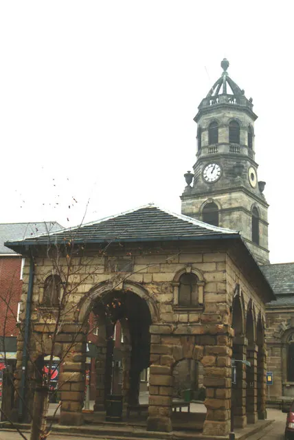
© Bill Henderson · Geograph · CC BY-SA 2.0
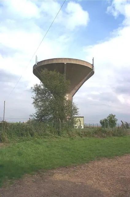
© Bill Henderson · Geograph · CC BY-SA 2.0
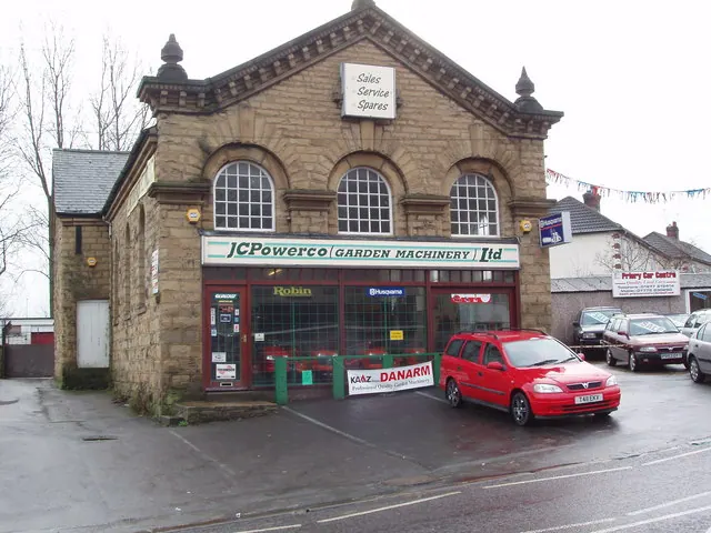
© Robert Neilson · Geograph · CC BY-SA 2.0
Images © their respective photographers, licensed under CC BY-SA 2.0 and reused here with attribution. Photographs depict listed buildings, churches and monuments near this settlement and may show neighbouring villages.
Data derived from the Open Domesday project (opendomesday.org), based on the Domesday Book dataset compiled by Professor J.J.N. Palmer and team. The Domesday Book (1086) is in the public domain.
Found an inaccuracy? [email protected]