Hickleton in the Domesday Book (1086)
Hickleton appears in the Domesday Book of 1086, entered under the hundred of Strafforth in Yorkshire.
Other Settlements in Strafforth
- Adwick [le Street]
- Adwick [upon Dearne]
- Armthorpe
- Aston
- Attercliffe
- Auckley
- Aughton [Hall]
- Austerfield
- Balby
- Barnbrough
- Barnby [Dun]
- Bentley
- Bilham [House]
- Billingley
The Meaning of the Name
The name Hickleton is of Anglo-Saxon origin. Its final element derives from the Old English word tūn, a farmstead or village. The first element is most likely a personal name or an early descriptive term, now difficult to recover with certainty. Taken together the name probably meant something close to ‘a farmstead’.
Remarkably, the name has changed little since 1086, when the Domesday scribes wrote it as Hickleton.
Listed Buildings Near Hickleton
Historic England records 32 listed buildings within about a mile of Hickleton. Listing protects structures of special architectural or historic interest, graded I (exceptional), II* (particularly important) and II.
Grade I
- Church of St Wilfrid - 0.35 km
Grade II*
- Stable Hickleton Hall including The Stable Cottage and attached walls and gatepiers - 0.45 km
- The Brewhouse - 0.48 km
- Hickleton Hall With Attached Quadrant Walls and Walls Extended to Enclose Entrace Front Garden Having Associated Gate Piers and Two Statues, Also Linking Wall to Gate Pier at South East Corner - 0.49 km
Grade II
- Cross With Stepped Base at Junction With Hickleton Road - 0.29 km
- East Lodge and Entrance Gateway - 0.33 km
- Cross at Church of St Wilfrid’s Churhcyard - 0.36 km
- Lychgate to North West Corner of Churchyard of Church of St Wilfrid - 0.38 km
- John O’Gaunts - 0.41 km
- Section of Roadside Wall to South Side of Main Street Approximately 150 Metres to North of Hickleton Hall - 0.44 km
- 19 - 0.47 km
- K6 Telephone Kiosk - 0.48 km
- Retaining Wall and Balustrade With Urns to East Front of Hickleton Hall - 0.48 km
- 8 and 9 - 0.49 km
- Castle Hill Farmhouse - 0.5 km
- Home Farm Court - 0.51 km
- Pedestal With Urn at Centre of Maze Garden Approximately 12 Metres to South of Hickleton Hall - 0.52 km
- Upper Terrace Retaining Wall With Attached Garden House to West Front of Hickleton Hall - 0.52 km
- Dovecote Immediately to North of Old Orchard House - 0.53 km
- Old School - 0.54 km
- Ha-ha retaining wall to south of Hickleton Hall including urns, gatepiers and gates - 0.56 km
- Lining of Oval Pond With Central Statue Approximately 100 Metres to West of Hickleton Hall - 0.58 km
- 30-33 - 0.64 km
- 34 and 35 - 0.71 km
…and 8 more listed structures in the area.
Scheduled Monuments Near Hickleton
Scheduled monuments are nationally important archaeological sites given legal protection. 1 lies within roughly a mile of Hickleton:
Hickleton Today
Today Hickleton lies within the administrative area of Doncaster, and the settlement recorded a population of 220 at the 2021 census. Nine and a half centuries separate that figure from the small rural community the Domesday survey recorded here in 1086.
Read more about modern Hickleton on Wikipedia .
Nearby Domesday Settlements
Other places recorded in the 1086 survey within a few miles:
- Bilham House - 1.0 km N
- Stotfold - 1.4 km NW
- Hooton Pagnell - 2.0 km N
- Barnbrough - 2.0 km S
- Goldthorpe - 2.2 km SW
- Deightonby Fields - 2.2 km NW
Heritage Around Hickleton
Photographs of churches, listed buildings and monuments in the vicinity, contributed by volunteers to the Geograph project and reused here under a Creative Commons licence.
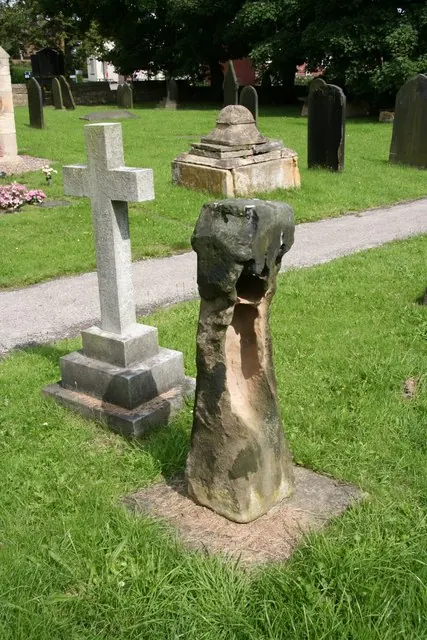
© Richard Croft · Geograph · CC BY-SA 2.0
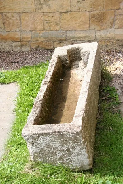
© Richard Croft · Geograph · CC BY-SA 2.0
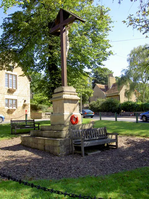
© Steve Fareham · Geograph · CC BY-SA 2.0
Images © their respective photographers, licensed under CC BY-SA 2.0 and reused here with attribution. Photographs depict listed buildings, churches and monuments near this settlement and may show neighbouring villages.
Data derived from the Open Domesday project (opendomesday.org), based on the Domesday Book dataset compiled by Professor J.J.N. Palmer and team. The Domesday Book (1086) is in the public domain.
Found an inaccuracy? [email protected]