Hexthorpe in the Domesday Book (1086)
Hexthorpe appears in the Domesday Book of 1086, entered under the hundred of Strafforth in Yorkshire. The survey assessed Hexthorpe at 2 carucates of taxable land.
Most significantly, Hexthorpe is recorded as waste in 1086 - land rendered uninhabitable and valueless. Before the Conquest, the settlement had been assessed at 1 shilling; by 1086 that value had collapsed entirely. This pattern - prosperity before 1066, devastation by 1086 - is the unmistakable signature of the Harrying of the North , William I’s campaign of systematic destruction across Yorkshire in 1069–70.
Resources Recorded at Hexthorpe (1086)
- Meadow: 3 acres
Other Settlements in Strafforth
- Adwick [le Street]
- Adwick [upon Dearne]
- Armthorpe
- Aston
- Attercliffe
- Auckley
- Aughton [Hall]
- Austerfield
- Balby
- Barnbrough
- Barnby [Dun]
- Bentley
- Bilham [House]
- Billingley
The Meaning of the Name
The name Hexthorpe is of Scandinavian origin. Its final element derives from the Old Norse word þorp, an outlying or secondary farmstead. The first element is most likely a personal name or an early descriptive term, now difficult to recover with certainty. Taken together the name probably meant something close to ‘a outlying farm’.
Names of this type are a fingerprint of Scandinavian settlement: they cluster across the old Danelaw, where Norse-speaking settlers renamed or founded villages from the late 9th century onward.
Remarkably, the name has changed little since 1086, when the Domesday scribes wrote it as Hexthorpe.
Listed Buildings Near Hexthorpe
Historic England records 43 listed buildings within about a mile of Hexthorpe. Listing protects structures of special architectural or historic interest, graded I (exceptional), II* (particularly important) and II.
Grade I
Grade II
- Patrick Stirling Memorial Lamp and Drinking Fountain - 0.32 km
- Main Engine Shop to Rear of Original Plant Works Building at Doncaster Station - 0.63 km
- Railing to Rear of St James’s Church - 0.68 km
- E2 New Erecting Shop, Doncaster Plant Works - 0.68 km
- Church of St James - 0.69 km
- Original Plant Works Building to South West of Doncaster Station - 0.7 km
- Former Primitive Methodist Chapel, Balby - 0.73 km
- Station Booking Hall and Offices - 0.88 km
- The Grand Theatre, Top Rank Bingo Hall - 1.01 km
- Carr Grange Cemetery Chapel - 1.03 km
- Co-operative Emporium and Danum House - 1.04 km
- Water Tower at Former Br Works - 1.05 km
- St James’ Pool and Health Club - 1.05 km
- Priory Methodist Church - 1.07 km
- 33 and 35 (Former Nag’s Head) St Sepulchre Gate - 1.09 km
- 4-13, Priory Place - 1.14 km
- Post Office - 1.17 km
- Lloyds Bank - 1.19 km
- Municipal Offices to West of Mansion House - 1.19 km
- 50 and 51, High Street - 1.19 km
- 52, High Street - 1.19 km
- 47-48 High Street - 1.2 km
- 1 Baxter Gate - 1.21 km
…and 19 more listed structures in the area.
Scheduled Monuments Near Hexthorpe
Scheduled monuments are nationally important archaeological sites given legal protection. 1 lies within roughly a mile of Hexthorpe:
- Wall of Roman fort - 1.42 km
Hexthorpe Today
Today Hexthorpe lies within the administrative area of Doncaster, and the settlement recorded a population of 3,310 at recent figures. Nine and a half centuries separate that figure from the small rural community the Domesday survey recorded here in 1086.
Read more about modern Hexthorpe on Wikipedia .
Nearby Domesday Settlements
Other places recorded in the 1086 survey within a few miles:
- Balby - 1.0 km S
- Doncaster - 1.4 km NE
- Scinestorp - 2.2 km NW
- Wheatley - 2.8 km NE
- Warmsworth - 2.8 km SW
- Cusworth - 2.8 km NW
Heritage Around Hexthorpe
Photographs of churches, listed buildings and monuments in the vicinity, contributed by volunteers to the Geograph project and reused here under a Creative Commons licence.
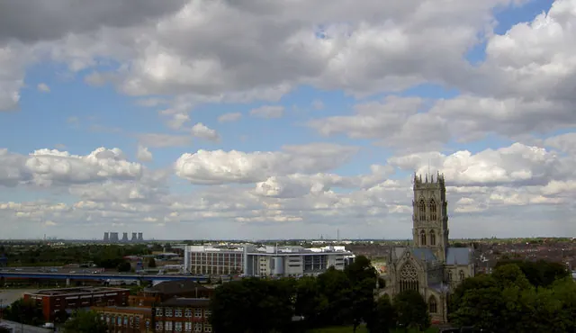
© Steve Fareham · Geograph · CC BY-SA 2.0
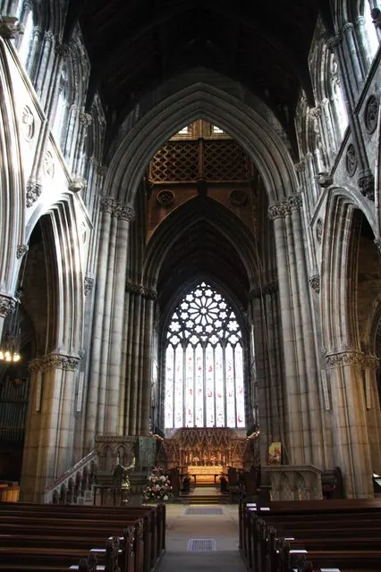
© Richard Croft · Geograph · CC BY-SA 2.0
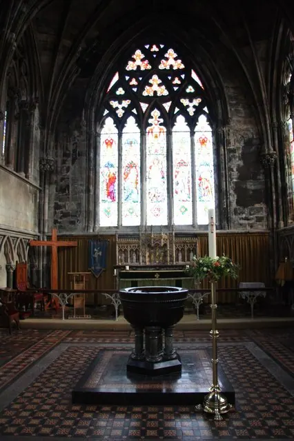
© Richard Croft · Geograph · CC BY-SA 2.0
Images © their respective photographers, licensed under CC BY-SA 2.0 and reused here with attribution. Photographs depict listed buildings, churches and monuments near this settlement and may show neighbouring villages.
Data derived from the Open Domesday project (opendomesday.org), based on the Domesday Book dataset compiled by Professor J.J.N. Palmer and team. The Domesday Book (1086) is in the public domain.
Found an inaccuracy? [email protected]