Heworth in the Domesday Book (1086)
The 1086 Domesday survey records the settlement of Heworth, entered under the hundred of York in Yorkshire.
Other Settlements in York
The Meaning of the Name
The name Heworth is of Anglo-Saxon origin. Its final element derives from the Old English word worð, an enclosure or homestead. The first element is most likely a personal name or an early descriptive term, now difficult to recover with certainty. Taken together the name probably meant something close to ‘a enclosure’.
Remarkably, the name has changed little since 1086, when the Domesday scribes wrote it as Heworth.
Listed Buildings Near Heworth
Historic England records 317 listed buildings within about a mile of Heworth. Listing protects structures of special architectural or historic interest, graded I (exceptional), II* (particularly important) and II.
Grade II
- Church of Holy Trinity - 0.23 km
- 98 and 100, Heworth Green - 0.29 km
- 104, Heworth Green - 0.29 km
- 108, Heworth Green - 0.29 km
- (The Limes) College of Ripon and York St John - 0.29 km
- Heworth Villa - 0.3 km
- Gate Standards, Gates and Railings to Front of Numbers 104 and 106 (106 Not Included) - 0.32 km
- The Kiosk - 0.36 km
- 48 and 50, Heworth Green - 0.38 km
- 46, Heworth Green - 0.38 km
- 44, HEWORTH GREEN (See details for further address information) - 0.39 km
- Sparrow Cottage - 0.44 km
- The Herdsmans Cottage - 0.47 km
- 26, Heworth Green - 0.49 km
- 70, Heworth Village - 0.5 km
- Stone at Ngr Se 6165 5307 - 0.6 km
- Heworth Croft and Attached Coach House (College of Ripon and York St John) - 0.6 km
- 97, Heworth Village - 0.62 km
- Summerhouse Approximately 60 Metres North of Number 19 Heworth Croft - 0.63 km
- Walls Railings and Gates to Numbers 27-49 (Odd) (Grove Terrace) - 0.74 km
- Chimney at Works and Services Depot of York City Council - 0.76 km
- Grove Terrace - 0.78 km
- 67 and 69, Monkgate - 0.81 km
- 65, Monkgate - 0.82 km
…and 293 more listed structures in the area.
Scheduled Monuments Near Heworth
Scheduled monuments are nationally important archaeological sites given legal protection. 11 lie within roughly a mile of Heworth:
- Jewbury Medieval Jewish Cemetery - 0.89 km
- Standing tower and below ground remains of St Lawrence’s Church and associated burial ground - 1.22 km
- York Minster cathedral precinct: including Bootham Bar and the length of City Walls extending round the precinct up to Monk Bar - 1.28 km
- Merchant’s Hall, Fossgate - 1.31 km
- Medieval stone town house known as The Norman House to the rear of Nos 48 and 50 Stonegate - 1.4 km
- South angle tower of Roman fortress - 1.44 km
- York Castle: motte and bailey castle, tower keep castle (including Clifford’s Tower), and site of part of Romano-British fort-vicus and Anglian cemetery - 1.5 km
- St Peter’s Hospital, part of undercroft beneath the Theatre Royal - 1.51 km
- Lamel Hill (Anglo-Saxon tumulus) - 1.54 km
- City Walls, gates, posterns (not including the section from Bootham Bar to Monk Bar, N of the Minster, now part of National Monument No 13280), moats, mounds, Bayle (or Baile) Hill, St Leonard’s Hospital and Merchant Taylor’s Hall, Aldwark - 1.59 km
…and 1 more.
Heworth Today
Today Heworth lies within the administrative area of City of York, and the settlement recorded a population of 13,725 at recent figures. Nine and a half centuries separate that figure from the small rural community the Domesday survey recorded here in 1086.
Read more about modern Heworth on Wikipedia .
Nearby Domesday Settlements
Other places recorded in the 1086 survey within a few miles:
- York - 1.0 km W
- Osbaldwick - 2.2 km SE
- Clifton - 2.2 km NW
- Heslington - 2.2 km SE
- Murton - 3.0 km E
- Grimston - 3.2 km E
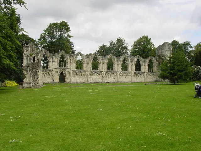
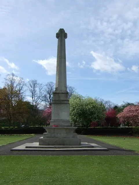
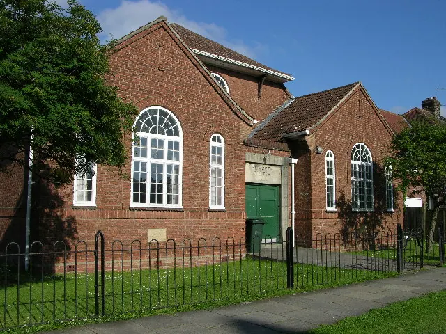
Heritage Around Heworth
Photographs of churches, listed buildings and monuments in the vicinity, contributed by volunteers to the Geograph project and reused here under a Creative Commons licence.
© Lyall Duffus · Geograph · CC BY-SA 2.0
© Stanley Howe · Geograph · CC BY-SA 2.0
© Stuart and Fiona Jackson · Geograph · CC BY-SA 2.0
Images © their respective photographers, licensed under CC BY-SA 2.0 and reused here with attribution. Photographs depict listed buildings, churches and monuments near this settlement and may show neighbouring villages.
Data derived from the Open Domesday project (opendomesday.org), based on the Domesday Book dataset compiled by Professor J.J.N. Palmer and team. The Domesday Book (1086) is in the public domain.
Found an inaccuracy? [email protected]