Heversham Head in the Domesday Book (1086)
Heversham Head is named in the Domesday Book, compiled by Norman commissioners in 1086, entered under the hundred of Amounderness in Yorkshire.
Other Settlements in Amounderness
- Aighton
- Aldcliffe
- Aldingham
- Arkholme
- Aschebi
- Ashton [Hall]
- Ashton [on Ribble]
- Austwick
- Barbon
- Bardsea
- Bare
- Barnoldswick
- Barton
- Beetham
The Meaning of the Name
The name Heversham Head is of Anglo-Saxon origin. Its final element derives from the Old English word hām, a homestead or village. The first element is most likely a personal name or an early descriptive term, now difficult to recover with certainty. Taken together the name probably meant something close to ‘a homestead’.
Remarkably, the name has changed little since 1086, when the Domesday scribes wrote it as Heversham Head.
Listed Buildings Near Heversham Head
Historic England records 22 listed buildings within about a mile of Heversham Head. Listing protects structures of special architectural or historic interest, graded I (exceptional), II* (particularly important) and II.
Grade II*
- Church of St Peter - 0.99 km
- Heversham Hall - 1.23 km
Grade II
- Boundary Stone at the Junction of White Lane With the Woodhouse to Viver Road Approximately 300 Yards North of Woodhouse - 0.62 km
- Boundary Stone at the Junction of Rowell Lane With Woodhouse to Ackenthwaite Road Approximately 600 Yards South of Woodhouse - 0.73 km
- The Old School House North of Church of St Peter - 0.97 km
- Sundial South of Dickinson Table Tomb in St Peters Churchyard - 0.97 km
- Dickinson Table Tomb South of South East Corner of Church of St Peter - 0.98 km
- Plumtree Hall - 0.99 km
- The Old School North of Church of St Peter - 0.99 km
- Lych Gate to South of Church of St Peter - 0.99 km
- Memorial Cross to South of Church of St Peter - 0.99 km
- Crampton Table Tomb to the South of Docker Tomb - 0.99 km
- Docker Table Tomb Immediately South of Church of St Peter - 0.99 km
- Sunny Vale - 1.0 km
- Chestnut House and Attached Cottage to South - 1.0 km
- Hawthorne Cottage - 1.01 km
- Post Office - 1.01 km
- Church View Cottage - 1.02 km
- Lower Rowell Cottage Lower Rowell Farmhouse - 1.18 km
- Boundary Stone Opposite Leasgill Cottage - 1.25 km
- Deepthwaite Bridge Over Stainton Beck - 1.26 km
- Boundary Stone at Entrance to Hawbarrow House - 1.27 km
Heversham Head Today
Today Heversham Head lies within the administrative area of South Lakeland, and the settlement recorded a population of 659 at the 2021 census. Nine and a half centuries separate that figure from the small rural community the Domesday survey recorded here in 1086.
Read more about modern Heversham on Wikipedia .
Nearby Domesday Settlements
Other places recorded in the 1086 survey within a few miles:
- Hincaster - 1.0 km N
- Stainton - 2.8 km NE
- Preston Richard - 3.2 km E
- Farleton - 3.6 km SE
- Levens - 3.6 km NW
- Preston Patrick - 4.0 km E
Heritage Around Heversham [Head]
Photographs of churches, listed buildings and monuments in the vicinity, contributed by volunteers to the Geograph project and reused here under a Creative Commons licence.
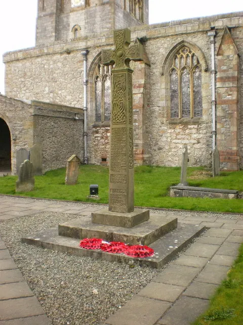
© Alexander P Kapp · Geograph · CC BY-SA 2.0
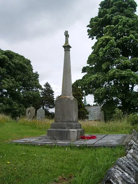
© Alexander P Kapp · Geograph · CC BY-SA 2.0
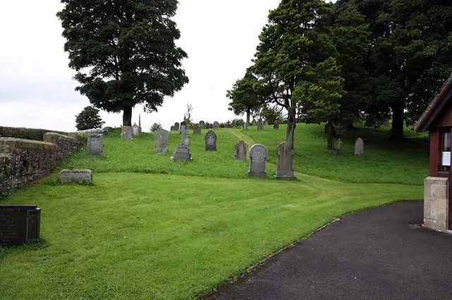
© John Salmon · Geograph · CC BY-SA 2.0
Images © their respective photographers, licensed under CC BY-SA 2.0 and reused here with attribution. Photographs depict listed buildings, churches and monuments near this settlement and may show neighbouring villages.
Data derived from the Open Domesday project (opendomesday.org), based on the Domesday Book dataset compiled by Professor J.J.N. Palmer and team. The Domesday Book (1086) is in the public domain.
Found an inaccuracy? [email protected]