Hessle in the Domesday Book (1086)
The 1086 Domesday survey records the settlement of Hessle, entered under the hundred of Osgodcross in Yorkshire.
Other Settlements in Osgodcross
- Arksey
- Badsworth
- Beal
- Burgh[wallis]
- Campsall
- Darrington
- Featherstone
- Ferry [Fryston]
- Hamphall [Stubbs]
- Hensall
- Kellington
- Knottingley
- Minsthorpe
- Newsham
The Meaning of the Name
The origin of the name Hessle is not securely established from its modern form alone; like many settlement names in the North it likely combines an Old English or Old Norse personal name with a landscape term.
Remarkably, the name has changed little since 1086, when the Domesday scribes wrote it as Hessle.
Listed Buildings Near Hessle
Historic England records 32 listed buildings within about a mile of Hessle. Listing protects structures of special architectural or historic interest, graded I (exceptional), II* (particularly important) and II.
Grade I
- Ackworth School (That Part Comprising Centre Block East and West Wings Shed Court Main Entrance) - 0.56 km
Grade II*
- Quaker Meeting House With Attached Lodges - 0.57 km
- The Old Hall and Attached Garden Wall to Front - 0.59 km
- Guide Post on Traffic Island at Junction With Station Road - 0.65 km
- Church of St Cuthbert - 0.74 km
Grade II
- Former Coach House and Hay Loft on North West Side of Bucklane to West of Ackworth School - 0.46 km
- Coach House on West Side of Back Lane to West of Ackworth School - 0.47 km
- Priory Cottage - 0.51 km
- Ackworth House - 0.51 km
- Milepost Opposite Numbers 66 to 70 - 0.52 km
- Hessle Old Hall - 0.55 km
- Rylestone House - 0.55 km
- 32-44, Barnsley Road - 0.68 km
- Lowther Hospital - 0.68 km
- Village Cross - 0.71 km
- Sikes tomb chest, approximately 7 metres south-south-west of Church of St. Cuthbert - 0.72 km
- Lychgate to church of St Cuthbert - 0.73 km
- Manor House Including Rear Outbuilding Wing and Attached Mounting Block - 0.74 km
- Cross Slab Approximately 3 Metres North of Church of St Cuthbert * - 0.74 km
- Gate Piers at Entrance to Eden Place - 0.75 km
- Eden Place - 0.76 km
- 14 and 16, Station Road - 0.8 km
- 126, Pontefract Road - 0.82 km
- 130 and 132, Pontefract Road - 0.84 km
…and 8 more listed structures in the area.
Hessle Today
Today Hessle lies within the administrative area of Hessle and Hill Top.
Nearby Domesday Settlements
Other places recorded in the 1086 survey within a few miles:
- High and Low Ackworth - 1.4 km NE
- West Hardwick - 2.2 km NW
- Purston Jaglin - 2.2 km NW
- Nostell Priory - 3.0 km W
- Rogerthorpe Manor - 3.6 km SE
- Kinsley - 3.6 km SW
Heritage Around Hessle
Photographs of churches, listed buildings and monuments in the vicinity, contributed by volunteers to the Geograph project and reused here under a Creative Commons licence.
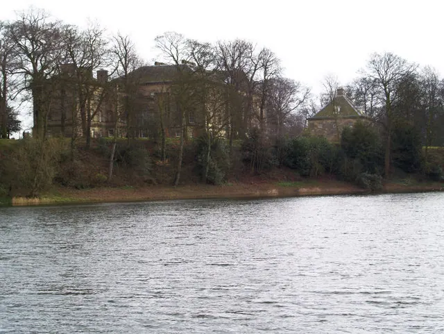
© Steve Fareham · Geograph · CC BY-SA 2.0
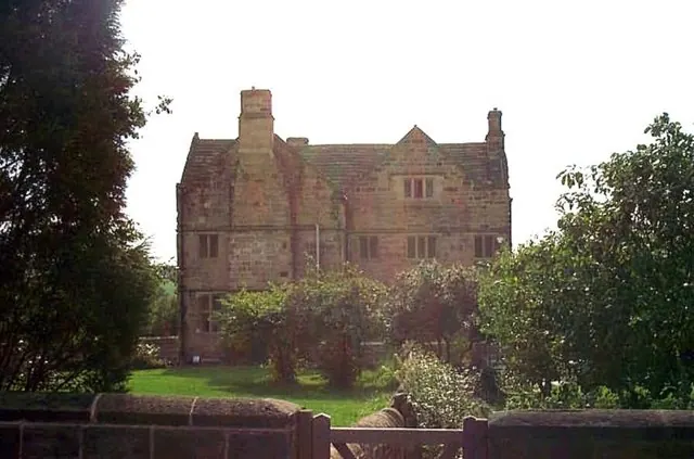
© Bill Henderson · Geograph · CC BY-SA 2.0
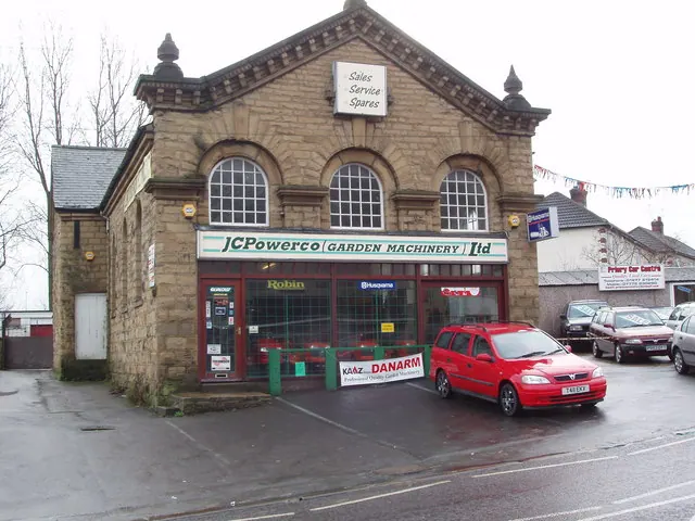
© Robert Neilson · Geograph · CC BY-SA 2.0
Images © their respective photographers, licensed under CC BY-SA 2.0 and reused here with attribution. Photographs depict listed buildings, churches and monuments near this settlement and may show neighbouring villages.
Data derived from the Open Domesday project (opendomesday.org), based on the Domesday Book dataset compiled by Professor J.J.N. Palmer and team. The Domesday Book (1086) is in the public domain.
Found an inaccuracy? [email protected]