Hesselton in the Domesday Book (1086)
The settlement of Hesselton is recorded in William I’s Domesday survey of 1086, entered under the hundred of Land of Count Alan in Yorkshire.
Other Settlements in Land of Count Alan
- Achebi
- Agglethorpe
- Ainderby [Mires]
- Ainderby [Quernhow]
- Aiskew
- Aldbrough
- Allerthorpe [Hall]
- Ascam
- Ascham
- Asebi
- Aske [Hall]
- Askrigg
- Aysgarth
- Baldersby
The Meaning of the Name
The name Hesselton is of Anglo-Saxon origin. Its final element derives from the Old English word tūn, a farmstead or village. The first element is most likely a personal name or an early descriptive term, now difficult to recover with certainty. Taken together the name probably meant something close to ‘a farmstead’.
Remarkably, the name has changed little since 1086, when the Domesday scribes wrote it as Hesselton.
Listed Buildings Near Hesselton
Historic England records 15 listed buildings within about a mile of Hesselton. Listing protects structures of special architectural or historic interest, graded I (exceptional), II* (particularly important) and II.
Grade II
- Nichol’s Stone - 0.81 km
- Barn Approximately 10 Metres East of Low Hall - 0.9 km
- Granary Attached to Left of Barn to East of Low Hall - 0.91 km
- Low Hall - 0.92 km
- Sundial Cottage - 1.09 km
- Railings in Front of Rowan House and the Old Dame School - 1.18 km
- Rowan House - 1.19 km
- The Old Dame School - 1.19 km
- Knight - 1.21 km
- Old Hall and Old Hall Cottage - 1.22 km
- Spring House - 1.27 km
- Manor House Farmhouse - 1.27 km
- Mile Post - 1.28 km
- Hunton House, Garden Wall and Railings - 1.29 km
- Thornfield House - 1.3 km
Scheduled Monuments Near Hesselton
Scheduled monuments are nationally important archaeological sites given legal protection. 1 lies within roughly a mile of Hesselton:
Nearby Domesday Settlements
Other places recorded in the 1086 survey within a few miles:
- Hunton - 1.4 km NW
- Ruswick - 2.0 km S
- Patrick Brompton - 2.2 km SE
- Fingall - 2.2 km SW
- Newton le Willows - 2.8 km SE
- Constable Burton - 3.2 km W
Heritage Around Hesselton
Photographs of churches, listed buildings and monuments in the vicinity, contributed by volunteers to the Geograph project and reused here under a Creative Commons licence.
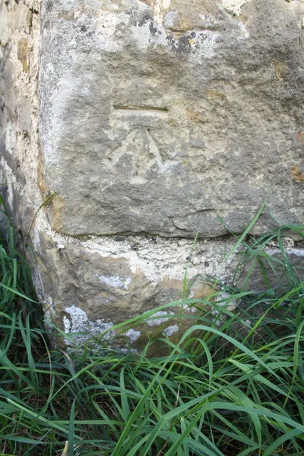
© Roger Templeman · Geograph · CC BY-SA 2.0
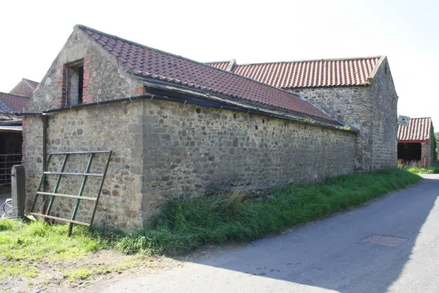
© Roger Templeman · Geograph · CC BY-SA 2.0
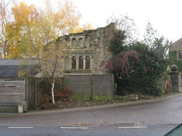
© Roger Gilbertson · Geograph · CC BY-SA 2.0
Images © their respective photographers, licensed under CC BY-SA 2.0 and reused here with attribution. Photographs depict listed buildings, churches and monuments near this settlement and may show neighbouring villages.
Location
54.3185°N, -1.7002°W · Land of Count Alan hundred, Yorkshire
View larger map on OpenStreetMap →Data derived from the Open Domesday project (opendomesday.org), based on the Domesday Book dataset compiled by Professor J.J.N. Palmer and team. The Domesday Book (1086) is in the public domain.
Found an inaccuracy? [email protected]