Heslington in the Domesday Book (1086)
The settlement of Heslington is recorded in William I’s Domesday survey of 1086, entered under the hundred of Warter in Yorkshire.
Other Settlements in Warter
- Grimthorpe [Manor]
- Hawold
- Huggate
- Kilnwick [Percy]
- Langwith [Lodge]
- Meltonby
- Millington
- Naburn
- Warter
- Wetwang
- Yapham
- [Great] Givendale
- [Little] Givendale
- [North] Dalton
The Meaning of the Name
The name Heslington is of Anglo-Saxon origin. Its final element derives from the Old English word tūn, a farmstead or village. The first element is most likely a personal name or an early descriptive term, now difficult to recover with certainty. Taken together the name probably meant something close to ‘a farmstead’.
Remarkably, the name has changed little since 1086, when the Domesday scribes wrote it as Heslington.
Listed Buildings Near Heslington
Historic England records 38 listed buildings within about a mile of Heslington. Listing protects structures of special architectural or historic interest, graded I (exceptional), II* (particularly important) and II.
Grade II*
- Heslington Hall - 0.11 km
- The Little Hall - 0.28 km
Grade II
- Derwent College, University of York - 0.03 km
- Balustrade Approximately 2 Metres to North of Heslington Hall - 0.1 km
- Dryad sculpture, University of York - 0.1 km
- Railings, Gates and Piers to Heslington Hall Approximately 30 Metres to North of House - 0.11 km
- Gazebo, Heslington Hall Approximately 45 Metres South West of House - 0.14 km
- Orangery, Heslington Hall Approximately 50 Metres to South West of House - 0.15 km
- Gate Piers and Gates to Walled Garden, and Walls Adjoining Approximately 40 Metres to South of Heslington Hall - 0.16 km
- Former Langwith College, University of York - 0.16 km
- 5, Main Street - 0.18 km
- The Old Porch, Heslington Hall Approximately 60 Metres to South of House - 0.18 km
- Heslington Anglican and Methodist Church - 0.21 km
- Font, Approximately 2 1/2 Metres to North of Chancel of Heslington Church - 0.24 km
- Tolley House - 0.25 km
- Old School House - 0.26 km
- The Lodge - 0.27 km
- Coachhouse to the Little Hall - 0.28 km
- More House - 0.28 km
- Village School - 0.28 km
- 15 and 16, Main Street - 0.29 km
- Covered walkway linking the former Langwith College to Central Hall and Vanbrugh College, University of York - 0.29 km
- 18, Main Street - 0.31 km
- Village Farm - 0.32 km
…and 14 more listed structures in the area.
Scheduled Monuments Near Heslington
Scheduled monuments are nationally important archaeological sites given legal protection. 3 lie within roughly a mile of Heslington:
- Siwards How, south east of the water tower, Heslington Hill - 0.58 km
- Lamel Hill (Anglo-Saxon tumulus) - 1.25 km
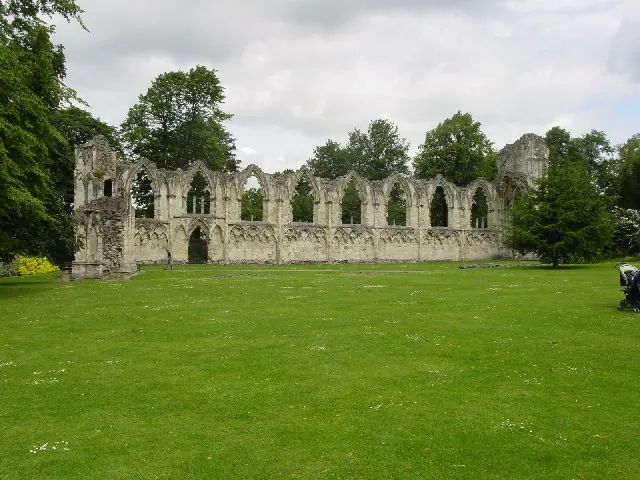
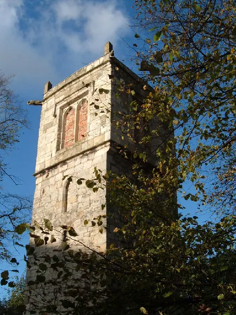
- Standing tower and below ground remains of St Lawrence’s Church and associated burial ground - 1.6 km
Heslington Today
Today Heslington lies within the administrative area of City of York, and the settlement recorded a population of 6,219 at the 2021 census. Nine and a half centuries separate that figure from the small rural community the Domesday survey recorded here in 1086.
Read more about modern Heslington on Wikipedia .
Nearby Domesday Settlements
Other places recorded in the 1086 survey within a few miles:
- Osbaldwick - 1.4 km NE
- Grimston - 2.2 km NE
- Gate Fulford - 2.2 km SW
- Heworth - 2.2 km NW
- Murton - 2.8 km NE
- Water Fulford - 2.8 km SW
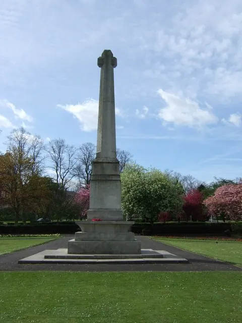
Heritage Around Heslington
Photographs of churches, listed buildings and monuments in the vicinity, contributed by volunteers to the Geograph project and reused here under a Creative Commons licence.
© Lyall Duffus · Geograph · CC BY-SA 2.0
© Stanley Howe · Geograph · CC BY-SA 2.0
© Alison Stamp · Geograph · CC BY-SA 2.0
Images © their respective photographers, licensed under CC BY-SA 2.0 and reused here with attribution. Photographs depict listed buildings, churches and monuments near this settlement and may show neighbouring villages.
Data derived from the Open Domesday project (opendomesday.org), based on the Domesday Book dataset compiled by Professor J.J.N. Palmer and team. The Domesday Book (1086) is in the public domain.
Found an inaccuracy? [email protected]