Hereford in the Domesday Book (1086)
The 1086 Domesday survey records the settlement of Hereford, entered under the hundred of Cutestornes in GLS.
Other Settlements in Cutestornes
- Brinsop
- Burghill
- Credenhill
- Hampton [Bishop]
- Holmer
- Huntington
- Litley
- Moreton [-on-Lugg]
- Pipe
- Shelwick
- Stretton
- Sugwas
- Tupsley
- Warham
The Meaning of the Name
The name Hereford is of Anglo-Saxon origin. Its final element derives from the Old English word ford, a river crossing. The first element is most likely a personal name or an early descriptive term, now difficult to recover with certainty. Taken together the name probably meant something close to ‘a ford’.
Remarkably, the name has changed little since 1086, when the Domesday scribes wrote it as Hereford.
Listed Buildings Near Hereford
Historic England records 313 listed buildings within about a mile of Hereford. Listing protects structures of special architectural or historic interest, graded I (exceptional), II* (particularly important) and II.
Grade II*
- Nelson Column - 0.36 km
- 60, St Owen Street - 0.38 km
- City Wall to Rear - 0.4 km
Grade II
- Church of St James and boundary wall - 0.15 km
- Willliams Almshouses - 0.17 km
- St Giles’ Hospital - 0.17 km
- St Giles’ Chapel (Off St Giles Hospital) - 0.19 km
- Hereford General Hospital (Central Block) - 0.24 km
- Victoria Bridge - 0.34 km
- Sun Inn - 0.37 km
- The Barrels - 0.39 km
- 7, St Ethelbert Street - 0.41 km
- 50A and 52, St Owen Street - 0.41 km
- Collingwood House - 0.41 km
- 48, St Owen Street - 0.42 km
- Castle Pool Hotel - 0.42 km
- 61, 63 and 63A, St Owen Street - 0.43 km
- St Ethelbert’s Hospital - 0.43 km
- Castle Cliffe Hereford Association of Youth Clubs Technical College Annexe - 0.44 km
- 12 and 13, Castle Street - 0.44 km
- 14, Castle Street - 0.44 km
- 2-12, St Ethelbert Street - 0.45 km
- Ishymonydd House - 0.45 km
- 53, St Owen Street - 0.45 km
…and 289 more listed structures in the area.
Scheduled Monuments Near Hereford
Scheduled monuments are nationally important archaeological sites given legal protection. 6 lie within roughly a mile of Hereford:
- Row Ditch (entrenchment) - 0.12 km
- Hereford Castle - 0.35 km
- Wye Bridge - 0.79 km
- Hereford city walls, ramparts and ditch - 0.81 km
- Blackfriars Friary, preaching cross and cemetery, and hospital and chapel of St John in Hereford - 1.07 km
- Lower Bullingham deserted medieval village - 1.43 km
Hereford Today
Today Hereford lies within the administrative area of Herefordshire, and the settlement recorded a population of 53,113 at the 2021 census. Nine and a half centuries separate that figure from the small rural community the Domesday survey recorded here in 1086.
Read more about modern Hereford on Wikipedia .
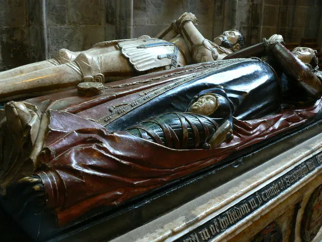
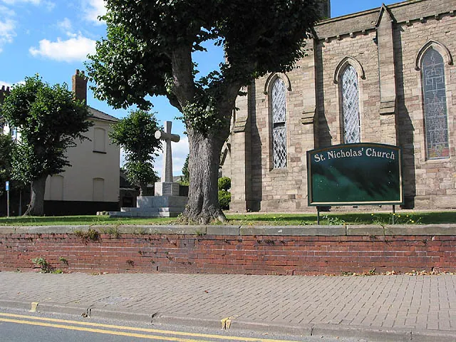
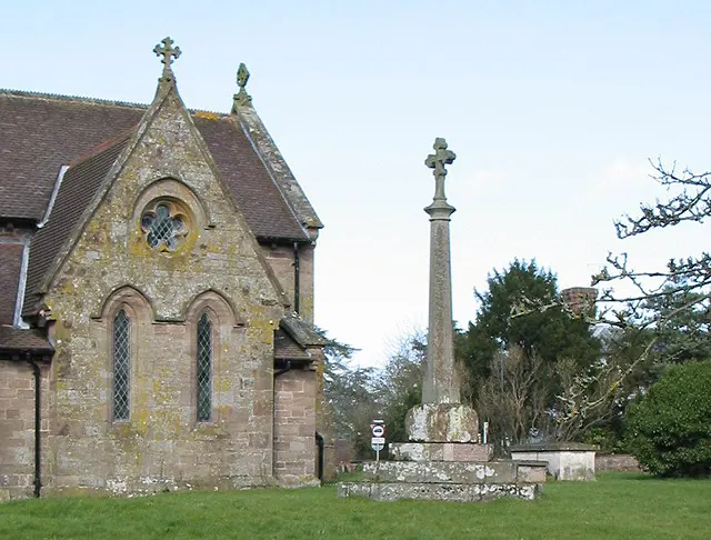
Heritage Around Hereford
Photographs of churches, listed buildings and monuments in the vicinity, contributed by volunteers to the Geograph project and reused here under a Creative Commons licence.
© Brian Robert Marshall · Geograph · CC BY-SA 2.0
© Pauline E · Geograph · CC BY-SA 2.0
© Pauline E · Geograph · CC BY-SA 2.0
Images © their respective photographers, licensed under CC BY-SA 2.0 and reused here with attribution. Photographs depict listed buildings, churches and monuments near this settlement and may show neighbouring villages.
Data derived from the Open Domesday project (opendomesday.org), based on the Domesday Book dataset compiled by Professor J.J.N. Palmer and team. The Domesday Book (1086) is in the public domain.
Found an inaccuracy? [email protected]