Herdebi in the Domesday Book (1086)
The settlement of Herdebi is recorded in William I’s Domesday survey of 1086, entered under the hundred of Morleystone in Derbyshire. The survey assessed Herdebi at 1.2 carucates of taxable land.
Most significantly, Herdebi is recorded as waste in 1086 - land rendered uninhabitable and valueless. Before the Conquest, the settlement had been assessed at 5 shillings; by 1086 that value had collapsed entirely. This pattern - prosperity before 1066, devastation by 1086 - is the unmistakable signature of the Harrying of the North , William I’s campaign of systematic destruction across Yorkshire in 1069–70.
Other Settlements in Morleystone
- Bradley
- Breadsall
- Breaston
- Cellesdene
- Chaddesden
- Codnor
- Crich
- Denby
- Derby
- Draycott
- Duffield
- Hallam
- Heanor
- Holbrook
The Meaning of the Name
The origin of the name Herdebi is not securely established from its modern form alone; like many settlement names in the North it likely combines an Old English or Old Norse personal name with a landscape term.
Remarkably, the name has changed little since 1086, when the Domesday scribes wrote it as Herdebi.
Listed Buildings Near Herdebi
Historic England records 8 listed buildings within about a mile of Herdebi. Listing protects structures of special architectural or historic interest, graded I (exceptional), II* (particularly important) and II.
Grade I
- Church of St Clement - 1.04 km
Grade II
- Grange Cottage - 0.28 km
- Farmbuildings to North-west of Castle Farmhouse - 0.39 km
- Castle Farmhouse - 0.39 km
- Coxbench Hall and Attached Stableblocks - 0.56 km
- Outbuildings and Attached Gingang at Birchwood Farm - 0.86 km
- Old Post Box Opposite Horsley School - 1.01 km
- The Sophia Water Fountain at Sk 376 445 - 1.03 km
Scheduled Monuments Near Herdebi
Scheduled monuments are nationally important archaeological sites given legal protection. 1 lies within roughly a mile of Herdebi:
- Horsley Castle tower keep castle - 0.26 km
Herdebi Today
Today Herdebi lies within the administrative area of Horsley.
Nearby Domesday Settlements
Other places recorded in the 1086 survey within a few miles:
Heritage Around Herdebi
Photographs of churches, listed buildings and monuments in the vicinity, contributed by volunteers to the Geograph project and reused here under a Creative Commons licence.
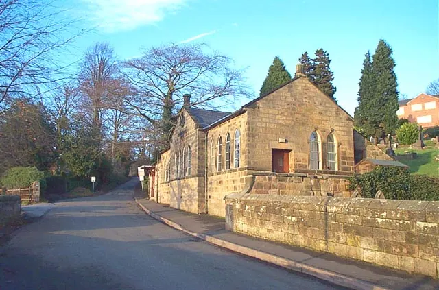
© Garth Newton · Geograph · CC BY-SA 2.0
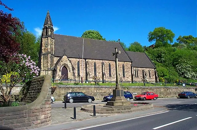
© Garth Newton · Geograph · CC BY-SA 2.0
© Eamon Curry · Geograph · CC BY-SA 2.0
Images © their respective photographers, licensed under CC BY-SA 2.0 and reused here with attribution. Photographs depict listed buildings, churches and monuments near this settlement and may show neighbouring villages.
Data derived from the Open Domesday project (opendomesday.org), based on the Domesday Book dataset compiled by Professor J.J.N. Palmer and team. The Domesday Book (1086) is in the public domain.
Found an inaccuracy? [email protected]