Henderskelfe in the Domesday Book (1086)
Henderskelfe appears in the Domesday Book of 1086, entered under the hundred of Bulford in Yorkshire.
Other Settlements in Bulford
- Aldwark
- Alne
- Barnby [House]
- Barton [le Willows]
- Beningbrough
- Bossall
- Brafferton
- Brandsby
- Bulmer
- Buttercrambe
- Carlton [Farm]
- Claxton
- Coneysthorpe
- Corburn
The Meaning of the Name
The origin of the name Henderskelfe is not securely established from its modern form alone; like many settlement names in the North it likely combines an Old English or Old Norse personal name with a landscape term.
Remarkably, the name has changed little since 1086, when the Domesday scribes wrote it as Henderskelfe.
Listed Buildings Near Henderskelfe
Historic England records 68 listed buildings within about a mile of Henderskelfe. Listing protects structures of special architectural or historic interest, graded I (exceptional), II* (particularly important) and II.
Grade I
- Castle Howard and East Court - 0.39 km
Grade II*
- The Dairies (East House) - 0.28 km
- Gate piers, walls, gates and railings to entrance of Ray Wood - 0.34 km
- Castle Howard Reservoir Basin and Pedestal at Centre of Reservoir - 0.38 km
- Statue of A Satyr With Dog and Grapes, Sometimes Identified As Bacchus, and Pedestal - 0.44 km
- The Boar Garden Statue of Wild Boar and Pedestal - 0.44 km
- Medici Vase and Pedestal - 0.46 km
- Statue of Silenus With the Infant Bacchus and Pedestal Approximately 75 Metres North East of Atlas Fountain - 0.49 km
- Statue of Farnese Hercules and Pedestal - 0.52 km
- Statue of Faun With A Kid and Pedestal Approximately 75 Metres North West of Atlas Fountain - 0.52 km
- Walled Garden Statue of Venus de Medici and pedestal - 0.53 km
Grade II
- The Boar Garden Urn and Pedestal Approximately 30 Metres North East of Statue of Wild Boar - 0.41 km
- The Boar Garden Carved Fruit Basket and Pedestal Approximately 30 Metres North of Statue of Wild Boar - 0.41 km
- The Dairies (Western House and Coach-house) - 0.41 km
- The Boar Garden Urn and Pedestal Approximately 30 Metres South East of Statue of Wild Boar - 0.44 km
- The Boar Garden Castle Howard Vase and Pedestal Approximately 30 Metres North West of Statue of Wild Boar - 0.44 km
- The Boar Garden Vase and Pedestal Approximately 30 Metres South West of Statue of Wild Boar - 0.46 km
- Vase and Pedestal Approximately 100 Metres North East of Atlas Fountain - 0.47 km
- Plant Container Approximately 90 Metres North of Atlas Fountain - 0.47 km
- Plant Container Approximately 90 Metres North North West of Atlas Fountain - 0.48 km
- Kylix and Pedestal Approximately 65 Metres North East of Atlas Fountain - 0.5 km
- Kylix and Pedestal Approximately 60 Metres North West of Atlas Fountain - 0.51 km
- Vase and Pedestal Approximately 60 Metres East North East of Atlas Fountain - 0.52 km
- Vase and Pedestal Approximately 30 Metres East of Atlas Fountain - 0.54 km
…and 44 more listed structures in the area.
Henderskelfe Today
Today Henderskelfe lies within the administrative area of North Yorkshire, and the settlement recorded a population of 37 at the 2021 census. Nine and a half centuries separate that figure from the small rural community the Domesday survey recorded here in 1086.
Read more about modern Henderskelfe on Wikipedia .
Nearby Domesday Settlements
Other places recorded in the 1086 survey within a few miles:
- Coneysthorpe - 1.0 km N
- Welburn - 2.0 km S
- Easthorpe House - 2.2 km NE
- Hildenley Hall - 3.0 km E
- Ganthorpe - 3.0 km W
- Low Mowthorpe Farm - 3.2 km W
Heritage Around Henderskelfe
Photographs of churches, listed buildings and monuments in the vicinity, contributed by volunteers to the Geograph project and reused here under a Creative Commons licence.
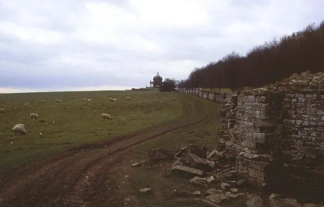
© Chris Heaton · Geograph · CC BY-SA 2.0
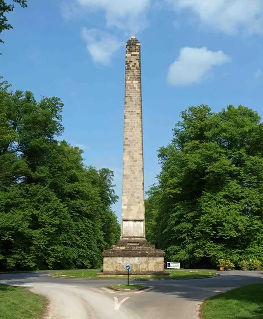
© Steve Fareham · Geograph · CC BY-SA 2.0
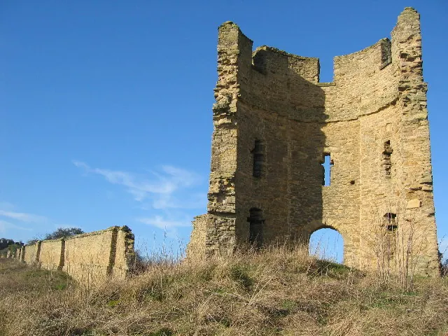
© Chris McLean · Geograph · CC BY-SA 2.0
Images © their respective photographers, licensed under CC BY-SA 2.0 and reused here with attribution. Photographs depict listed buildings, churches and monuments near this settlement and may show neighbouring villages.
Data derived from the Open Domesday project (opendomesday.org), based on the Domesday Book dataset compiled by Professor J.J.N. Palmer and team. The Domesday Book (1086) is in the public domain.
Found an inaccuracy? [email protected]