Henbury in the Domesday Book (1086)
The settlement of Henbury is recorded in William I’s Domesday survey of 1086, entered under the hundred of Hamestan in Cheshire.
Other Settlements in Hamestan
- Adlington
- Bosley
- Bramhall
- Bredbury
- Butley
- Capesthorne
- Cheadle
- Chelford
- Cranage
- Gawsworth
- Hollingworth
- Hungrewenitune
- Kermincham
- Leighton
The Meaning of the Name
The name Henbury is of Anglo-Saxon origin. Its final element derives from the Old English word burh, a fortified place. The first element is most likely a personal name or an early descriptive term, now difficult to recover with certainty. Taken together the name probably meant something close to ‘a stronghold’.
Remarkably, the name has changed little since 1086, when the Domesday scribes wrote it as Henbury.
Listed Buildings Near Henbury
Historic England records 12 listed buildings within about a mile of Henbury. Listing protects structures of special architectural or historic interest, graded I (exceptional), II* (particularly important) and II.
Grade II
- Henbury and Broken Cross War Memorial - 0.42 km
- Church of St Thomas - 0.48 km
- Lych Gate to Church of St Thomas - 0.49 km
- The Vicarage - 0.52 km
- The Stables - 0.66 km
- Davenport Heyes - 0.68 km
- 3 and 5, Pexhill Road - 0.68 km
- 1, Pexhill Road - 0.69 km
- The Mount - 0.97 km
- Henbury Hall Lodge - 1.1 km
- Yew Tree Farmhouse - 1.12 km
- Parkside Hospital Chapel - 1.15 km
Henbury Today
Today Henbury lies within the administrative area of Cheshire East, and the settlement recorded a population of 651 at the 2021 census. Nine and a half centuries separate that figure from the small rural community the Domesday survey recorded here in 1086.
Read more about modern Henbury on Wikipedia .
Nearby Domesday Settlements
Other places recorded in the 1086 survey within a few miles:
- Macclesfield - 3.0 km E
- Over Alderley - 3.6 km NW
- Gawsworth - 4.0 km S
- Capesthorne - 4.1 km W
- Hungrewenitune - 4.5 km NE
- Nether Alderley - 5.0 km NW
Heritage Around Henbury
Photographs of churches, listed buildings and monuments in the vicinity, contributed by volunteers to the Geograph project and reused here under a Creative Commons licence.
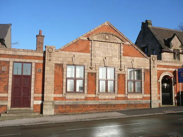
© Colin Park · Geograph · CC BY-SA 2.0
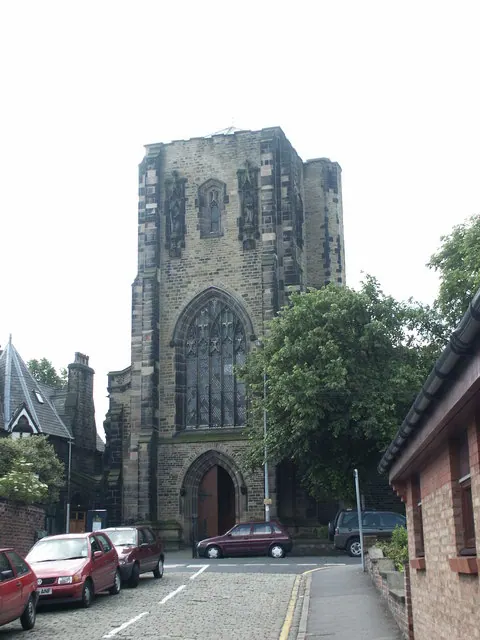
© mike porter · Geograph · CC BY-SA 2.0
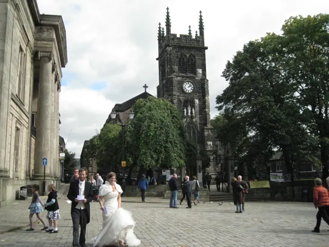
© Robin Stott · Geograph · CC BY-SA 2.0
Images © their respective photographers, licensed under CC BY-SA 2.0 and reused here with attribution. Photographs depict listed buildings, churches and monuments near this settlement and may show neighbouring villages.
Data derived from the Open Domesday project (opendomesday.org), based on the Domesday Book dataset compiled by Professor J.J.N. Palmer and team. The Domesday Book (1086) is in the public domain.
Found an inaccuracy? [email protected]