Helsington in the Domesday Book (1086)
The 1086 Domesday survey records the settlement of Helsington, entered under the hundred of Amounderness in Yorkshire.
Other Settlements in Amounderness
- Aighton
- Aldcliffe
- Aldingham
- Arkholme
- Aschebi
- Ashton [Hall]
- Ashton [on Ribble]
- Austwick
- Barbon
- Bardsea
- Bare
- Barnoldswick
- Barton
- Beetham
The Meaning of the Name
The name Helsington is of Anglo-Saxon origin. Its final element derives from the Old English word tūn, a farmstead or village. The first element is most likely a personal name or an early descriptive term, now difficult to recover with certainty. Taken together the name probably meant something close to ‘a farmstead’.
Remarkably, the name has changed little since 1086, when the Domesday scribes wrote it as Helsington.
Listed Buildings Near Helsington
Historic England records 10 listed buildings within about a mile of Helsington. Listing protects structures of special architectural or historic interest, graded I (exceptional), II* (particularly important) and II.
Grade II*
- Helsington Laithes Farmhouse - 1.22 km
Grade II
- Hawes Bridge Over the River Kent - 0.69 km
- Lancaster Kendal Canal, Crowpark Bridge over Lancaster/Kendal Canal - 0.86 km
- Barn to East of Low House Farmhouse - 0.87 km
- Lancaster Kendal canal, Natland Hall Bridge over Lancaster/Kendal canal - 0.91 km
- Low House Farmhouse - 0.91 km
- Hawes Farmhouse - 0.96 km
- Helsington Laithes Mill - 1.19 km
- Bridge Carrying Drive to North East of Helsington Laithes Farmhouse - 1.26 km
- Bridge Carrying Farm Road to North East of Helsington Laithes Farmhouse - 1.26 km
Scheduled Monuments Near Helsington
Scheduled monuments are nationally important archaeological sites given legal protection. 4 lie within roughly a mile of Helsington:
- Part of Helsington medieval village immediately west of Briggs House Farm - 1.09 km
- Round cairn 230m north of Berry Holme - 1.39 km
- Watercrook Roman fort and civil settlement - 1.46 km
- New Sedgwick gunpowder works, 580m north of Gate House - 1.5 km
Helsington Today
Today Helsington lies within the administrative area of Helsington.
Nearby Domesday Settlements
Other places recorded in the 1086 survey within a few miles:
- Bothelford - 1.0 km E
- Kendal - 3.2 km N
- Levens - 3.6 km SW
- Stainton - 4.5 km SE
- Hincaster - 5.0 km S
- Mint House - 5.4 km N
Heritage Around Helsington
Photographs of churches, listed buildings and monuments in the vicinity, contributed by volunteers to the Geograph project and reused here under a Creative Commons licence.
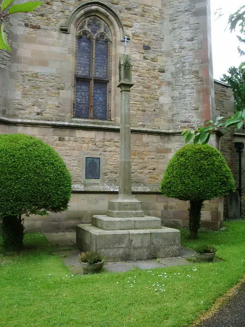
© Alexander P Kapp · Geograph · CC BY-SA 2.0
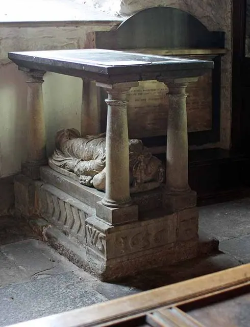
© John Salmon · Geograph · CC BY-SA 2.0
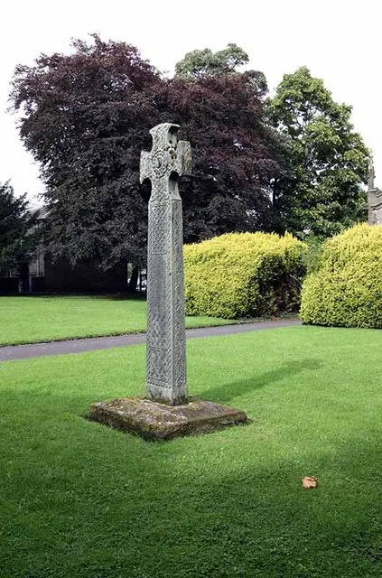
© John Salmon · Geograph · CC BY-SA 2.0
Images © their respective photographers, licensed under CC BY-SA 2.0 and reused here with attribution. Photographs depict listed buildings, churches and monuments near this settlement and may show neighbouring villages.
Data derived from the Open Domesday project (opendomesday.org), based on the Domesday Book dataset compiled by Professor J.J.N. Palmer and team. The Domesday Book (1086) is in the public domain.
Found an inaccuracy? [email protected]