Helperby in the Domesday Book (1086)
The 1086 Domesday survey records the settlement of Helperby, entered under the hundred of Bulford in Yorkshire.
Other Settlements in Bulford
- Aldwark
- Alne
- Barnby [House]
- Barton [le Willows]
- Beningbrough
- Bossall
- Brafferton
- Brandsby
- Bulmer
- Buttercrambe
- Carlton [Farm]
- Claxton
- Coneysthorpe
- Corburn
The Meaning of the Name
The name Helperby is of Scandinavian origin. Its final element derives from the Old Norse word bý, a farmstead or village. The first element is most likely a personal name or an early descriptive term, now difficult to recover with certainty. Taken together the name probably meant something close to ‘a farmstead’.
Names of this type are a fingerprint of Scandinavian settlement: they cluster across the old Danelaw, where Norse-speaking settlers renamed or founded villages from the late 9th century onward.
Remarkably, the name has changed little since 1086, when the Domesday scribes wrote it as Helperby.
Listed Buildings Near Helperby
Historic England records 32 listed buildings within about a mile of Helperby. Listing protects structures of special architectural or historic interest, graded I (exceptional), II* (particularly important) and II.
Grade II
- Grove House Farmhouse - 0.36 km
- Wall of Grove House Farmhouse, to East - 0.38 km
- Dovecot to South of Dunroyal House - 0.44 km
- Dunroyal House - 0.45 km
- Helperby Hall Forecourt Railings to Street and Forecourt Wall to North - 0.48 km
- Half Moon Inn - 0.5 km
- Valley Shop - 0.5 km
- Fountain House - 0.5 km
- Dovecot to Rear of Kirkholme - 0.51 km
- Gateposts to North of Lodge Farmhouse and Wall Linking With Park View Cottages - 0.51 km
- Hall View Cottages - 0.52 km
- Lodge Farmhouse - 0.52 km
- Park View Cottages - 0.52 km
- Anthonys Cottage Estate Office Grooms Cottage - 0.52 km
- Town Well - 0.52 km
- Lime Garth - 0.54 km
- Golden Lion Public House Old Fountain Stores - 0.54 km
- Kirkholme - 0.55 km
- Dovecot to Rear to Lodge Farmhouse - 0.56 km
- 1, Drury Lane - 0.57 km
- Oak House - 0.58 km
- Helperby House - 0.59 km
- 2, Main Street - 0.59 km
- High Farm House - 0.61 km
…and 8 more listed structures in the area.
Helperby Today
Today Helperby lies within the administrative area of Brafferton and Helperby, and the settlement recorded a population of 520 at the 2011 census. Nine and a half centuries separate that figure from the small rural community the Domesday survey recorded here in 1086.
Read more about modern Helperby on Wikipedia .
Nearby Domesday Settlements
Other places recorded in the 1086 survey within a few miles:
- Brafferton - 1.0 km N
- Humburton - 1.4 km SW
- Thornton Bridge - 2.0 km N
- Ellenthorpe Hall - 2.8 km SW
- Myton on Swale - 3.0 km S
- Cundall - 3.2 km N
Heritage Around Helperby
Photographs of churches, listed buildings and monuments in the vicinity, contributed by volunteers to the Geograph project and reused here under a Creative Commons licence.
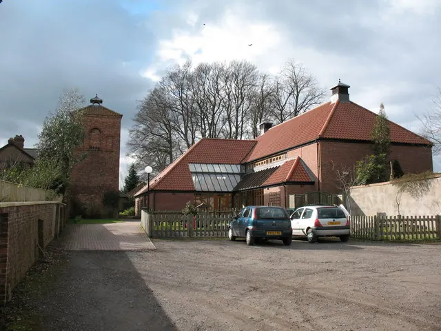
© Gordon Hatton · Geograph · CC BY-SA 2.0
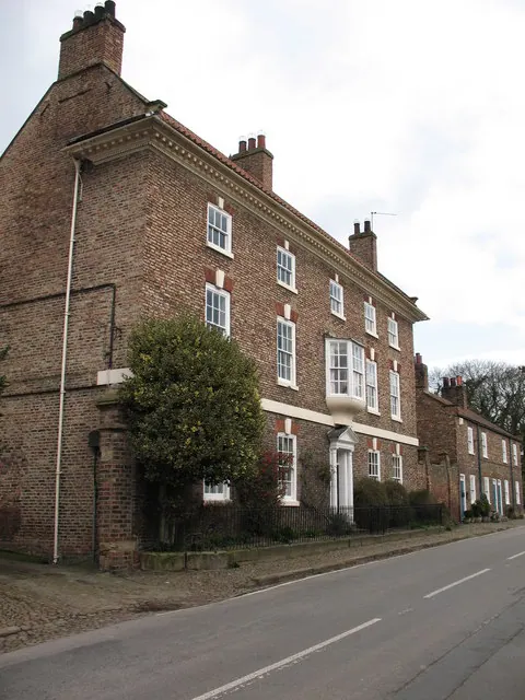
© Gordon Hatton · Geograph · CC BY-SA 2.0
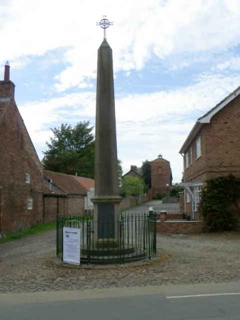
© Maigheach-gheal · Geograph · CC BY-SA 2.0
Images © their respective photographers, licensed under CC BY-SA 2.0 and reused here with attribution. Photographs depict listed buildings, churches and monuments near this settlement and may show neighbouring villages.
Data derived from the Open Domesday project (opendomesday.org), based on the Domesday Book dataset compiled by Professor J.J.N. Palmer and team. The Domesday Book (1086) is in the public domain.
Found an inaccuracy? [email protected]