Helmsley in the Domesday Book (1086)
The 1086 Domesday survey records the settlement of Helmsley, entered under the hundred of Maneshou in Yorkshire.
Other Settlements in Maneshou
- Amotherby
- Ampleforth
- Appleton [le Street]
- Beadlam
- Brawby
- Broughton
- Cawton
- Coulton
- Fadmoor
- Fryton
- Gillamoor
- Gilling [East]
- Griff [Farm]
- Grimston
The Meaning of the Name
The name Helmsley is of Anglo-Saxon origin. Its final element derives from the Old English word lēah, a woodland clearing or glade. The first element is most likely a personal name or an early descriptive term, now difficult to recover with certainty. Taken together the name probably meant something close to ‘a clearing’.
Remarkably, the name has changed little since 1086, when the Domesday scribes wrote it as Helmsley.
Listed Buildings Near Helmsley
Historic England records 65 listed buildings within about a mile of Helmsley. Listing protects structures of special architectural or historic interest, graded I (exceptional), II* (particularly important) and II.
Grade II
- 27, Ryegate - 0.18 km
- 29, Ryegate - 0.18 km
- 25, Ryegate - 0.19 km
- Rye Bridge - 0.22 km
- 3, 5, 7, 9, 11, Ryegate - 0.24 km
- 45, Bridge Street - 0.27 km
- Number 41 and Archway to Garden - 0.28 km
- 43, Bridge Street - 0.28 km
- 39, Bridge Street - 0.29 km
- Buckingham House and Iron Railings and Gate to Front Garden - 0.32 km
- 3 & 4, Buckingham Square - 0.34 km
- Duncombe Park Estate Office - 0.35 km
- 7 and 9, Castlegate - 0.37 km
- 34 and 36, Castlegate - 0.37 km
- 19, Bridge Street - 0.38 km
- 17, Bridge Street - 0.39 km
- 3, Bridge Street - 0.4 km
- The Cornmill - 0.4 km
- 15, Bridge Street - 0.4 km
- Park House - 0.4 km
- Duncombe Park Lodge - 0.41 km
- 9, 10 and 11, Market Place - 0.42 km
- 1, Borogate - 0.43 km
- King’s - 0.44 km
…and 41 more listed structures in the area.
Scheduled Monuments Near Helmsley
Scheduled monuments are nationally important archaeological sites given legal protection. 3 lie within roughly a mile of Helmsley:
- Helmsley Bridge - 0.22 km
- Helmsley Castle: twelfth century ringwork, twelfth to fourteenth century enclosure castle and sixteenth century mansion - 0.54 km
- Three round barrows 800m ENE of Helmsley Bridge - 0.62 km
Helmsley Today
Today Helmsley lies within the administrative area of Ryedale, and the settlement recorded a population of 1,699 at the 2021 census. Nine and a half centuries separate that figure from the small rural community the Domesday survey recorded here in 1086.
Read more about modern Helmsley on Wikipedia .
Nearby Domesday Settlements
Other places recorded in the 1086 survey within a few miles:
- Sproxton - 2.0 km S
- Stiltons Farm - 2.2 km NW
- Griff Farm - 3.0 km W
- Harome - 3.2 km E
- Pockley - 3.6 km NE
- Beadlam - 4.1 km E
Heritage Around Helmsley
Photographs of churches, listed buildings and monuments in the vicinity, contributed by volunteers to the Geograph project and reused here under a Creative Commons licence.
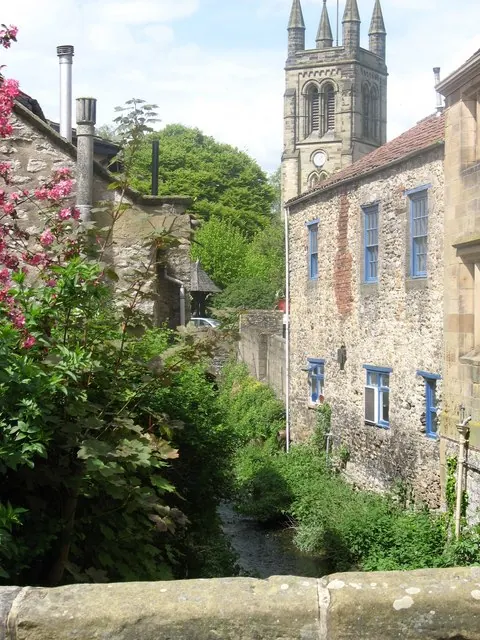
© Tony Murgatroyd · Geograph · CC BY-SA 2.0
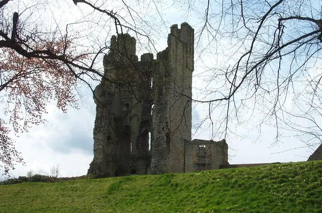
© derek dye · Geograph · CC BY-SA 2.0
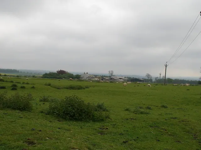
© Carol Rose · Geograph · CC BY-SA 2.0
Images © their respective photographers, licensed under CC BY-SA 2.0 and reused here with attribution. Photographs depict listed buildings, churches and monuments near this settlement and may show neighbouring villages.
Data derived from the Open Domesday project (opendomesday.org), based on the Domesday Book dataset compiled by Professor J.J.N. Palmer and team. The Domesday Book (1086) is in the public domain.
Found an inaccuracy? [email protected]