Heldetune in the Domesday Book (1086)
The 1086 Domesday survey records the settlement of Heldetune, entered under the hundred of Amounderness in Yorkshire.
Other Settlements in Amounderness
- Aighton
- Aldcliffe
- Aldingham
- Arkholme
- Aschebi
- Ashton [Hall]
- Ashton [on Ribble]
- Austwick
- Barbon
- Bardsea
- Bare
- Barnoldswick
- Barton
- Beetham
The Meaning of the Name
The origin of the name Heldetune is not securely established from its modern form alone; like many settlement names in the North it likely combines an Old English or Old Norse personal name with a landscape term.
Remarkably, the name has changed little since 1086, when the Domesday scribes wrote it as Heldetune.
Listed Buildings Near Heldetune
Historic England records 32 listed buildings within about a mile of Heldetune. Listing protects structures of special architectural or historic interest, graded I (exceptional), II* (particularly important) and II.
Grade II
- Boundary Stone About 400 Metres North East of Bowsber Farmhouse Clapham - 0.39 km
- Town End and Town End Cottages - 0.87 km
- Harden - 0.89 km
- Harden Bridge - 0.91 km
- Yew Tree Cottage - 0.95 km
- Harden Cottage - 0.95 km
- The Cuddy and Garden Cottage - 1.08 km
- K6 telephone kiosk, Austwick - 1.1 km
- Church of the Epiphany - 1.11 km
- Pant Cottage (South) - 1.11 km
- Woodview - 1.13 km
- Base to Market Cross and Pillar - 1.13 km
- Moughton Cottage - 1.14 km
- Cheetham Cottage - 1.14 km
- Huntly House - 1.15 km
- Game Cock Inn - 1.16 km
- Ivy Cottage - 1.16 km
- Sunny Bank - 1.17 km
- Hollin Hill - 1.17 km
- The Traddock - 1.22 km
- Leigh House - 1.22 km
- The Knoll - 1.24 km
- Icehouse in Grounds of Ingleborough Hall - 1.25 km
- Norcliffe - 1.25 km
…and 8 more listed structures in the area.
Scheduled Monuments Near Heldetune
Scheduled monuments are nationally important archaeological sites given legal protection. 2 lie within roughly a mile of Heldetune:
- Native settlement - 0.24 km
- Market Cross, Clapham - 1.28 km
Nearby Domesday Settlements
Other places recorded in the 1086 survey within a few miles:
- Austwick - 1.0 km E
- Clapham - 1.4 km NW
- Stackhouse - 6.7 km SE
- Stainforth - 7.1 km E
- Ingleton - 7.2 km NW
- Giggleswick - 7.2 km SE
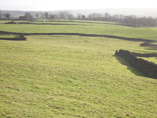
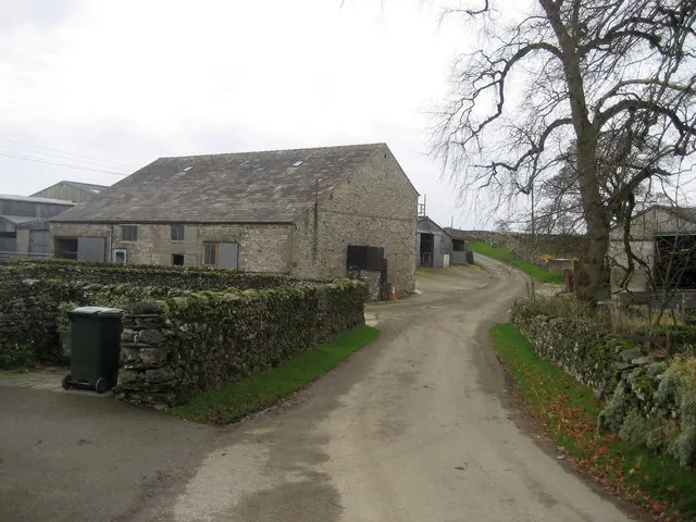
Heritage Around Heldetune
Photographs of churches, listed buildings and monuments in the vicinity, contributed by volunteers to the Geograph project and reused here under a Creative Commons licence.
© John Illingworth · Geograph · CC BY-SA 2.0

© Mike Green · Geograph · CC BY-SA 2.0
© Chris Heaton · Geograph · CC BY-SA 2.0
Images © their respective photographers, licensed under CC BY-SA 2.0 and reused here with attribution. Photographs depict listed buildings, churches and monuments near this settlement and may show neighbouring villages.
Data derived from the Open Domesday project (opendomesday.org), based on the Domesday Book dataset compiled by Professor J.J.N. Palmer and team. The Domesday Book (1086) is in the public domain.
Found an inaccuracy? [email protected]