Hebden in the Domesday Book (1086)
The settlement of Hebden is recorded in William I’s Domesday survey of 1086, entered under the hundred of Craven in Yorkshire. The survey assessed Hebden at 3.4 carucates of taxable land.
At the time of the survey, Hebden supported a recorded population of 14 smallholders, 3 slaves, working 4 ploughs between them.
The survey puts Hebden’s value at 5 shillings, the same as before the Conquest. Unchanged valuations are relatively rare in the North, where disruption was widespread.
Resources Recorded at Hebden (1086)
- Cattle: 8
- Pigs: 6
- Sheep: 20
- Meadow: 4 acres
- Woodland: 40 pigs
Other Settlements in Craven
- Addingham
- Airton
- Anley
- Appletreewick
- Arncliffe
- Arnford
- Barnoldswick
- Bashall [Eaves]
- Battersby [Barn]
- Beamsley
- Birkby [Hall]
- Bogeuurde
- Bolton [Abbey]
- Bolton [by Bowland]
The Meaning of the Name
The origin of the name Hebden is not securely established from its modern form alone; like many settlement names in the North it likely combines an Old English or Old Norse personal name with a landscape term.
Remarkably, the name has changed little since 1086, when the Domesday scribes wrote it as Hebden.
Listed Buildings Near Hebden
Historic England records 18 listed buildings within about a mile of Hebden. Listing protects structures of special architectural or historic interest, graded I (exceptional), II* (particularly important) and II.
Grade I
- Church of St Wilfrid - 1.16 km
Grade II
- Chestnut House - 0.44 km
- Saxelby House - 0.45 km
- Garden Building Approximately 25 Metres North East of Saxelby House - 0.47 km
- Church of St Peter - 0.49 km
- The Green House - 0.53 km
- Old Bridge - 0.73 km
- Barn at S E 0243 6323 - 0.78 km
- 7, Brook Street - 0.79 km
- Town Head Barn - 0.83 km
- Oat Croft Farmhouse - 0.95 km
- Skuff View - 1.07 km
- Colton House and the Grange - 1.12 km
- Wharfe Gate - 1.14 km
- Stocks Approximately 10 Metres to West of Church of St Wilfred - 1.14 km
- Lych Gate Approximately 30 Metres to West of Church of St Wilfred - 1.17 km
- The Old Grammar School - 1.2 km
- Milestone at Se 0156 6320 - 1.26 km
Scheduled Monuments Near Hebden
Scheduled monuments are nationally important archaeological sites given legal protection. 2 lie within roughly a mile of Hebden:
- Churchyard cross, Burnsall - 1.18 km
- Stone circle, Mossy Moor Ridge - 1.56 km
Hebden Today
Today Hebden lies within the administrative area of Craven, and the settlement recorded a population of 227 at the 2021 census. Nine and a half centuries separate that figure from the small rural community the Domesday survey recorded here in 1086.
Read more about modern Hebden on Wikipedia .
Nearby Domesday Settlements
Other places recorded in the 1086 survey within a few miles:
- Thorpe - 1.4 km SW
- Burnsall - 1.4 km SE
- Hartlington - 1.4 km SE
- Holedene - 1.4 km SE
- Grassington - 2.8 km NW
- Linton - 3.0 km W
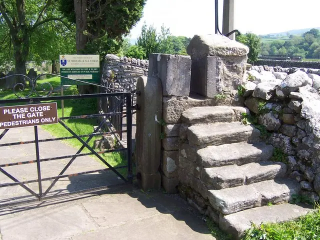
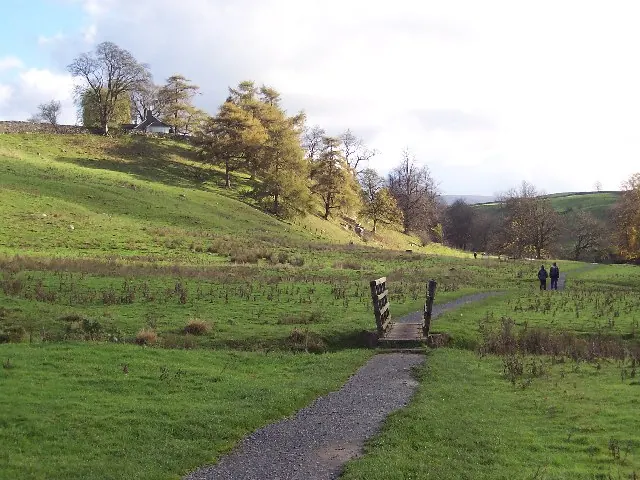
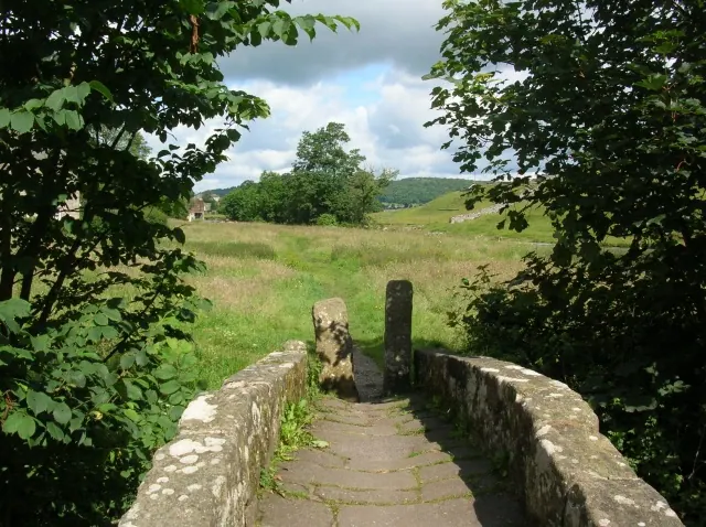
Heritage Around Hebden
Photographs of churches, listed buildings and monuments in the vicinity, contributed by volunteers to the Geograph project and reused here under a Creative Commons licence.
© Joe Regan · Geograph · CC BY-SA 2.0
© Chris Heaton · Geograph · CC BY-SA 2.0
© DS Pugh · Geograph · CC BY-SA 2.0
Images © their respective photographers, licensed under CC BY-SA 2.0 and reused here with attribution. Photographs depict listed buildings, churches and monuments near this settlement and may show neighbouring villages.
Data derived from the Open Domesday project (opendomesday.org), based on the Domesday Book dataset compiled by Professor J.J.N. Palmer and team. The Domesday Book (1086) is in the public domain.
Found an inaccuracy? [email protected]