Heathfield in the Domesday Book (1086)
Heathfield is named in the Domesday Book, compiled by Norman commissioners in 1086, entered under the hundred of Burghshire in Yorkshire. The survey assessed Heathfield at 0.4 carucates of taxable land.
At the time of the survey, Heathfield supported a recorded population of 10 villagers, 11 smallholders, 8 slaves, working 4 ploughs between them.
The survey records Heathfield’s value at 4 shillings in 1086. No pre-Conquest figure survives – not unusual in the North, where records were disrupted by the Harrying and by the patchy coverage of the survey.
Resources Recorded at Heathfield (1086)
- Cattle: 31
- Pigs: 4
- Sheep: 200
- Meadow: 50 acres
- Woodland: 1 league * 1 furlong mixed measures
Other Settlements in Burghshire
- Addlethorpe
- Aismunderby
- Aldfield
- Allerton [Mauleverer]
- Arkendale
- Askwith
- Azerley
- Barrowby [Grange]
- Beckwith [House]
- Besthaim
- Bestham
- Bewerley
- Bilton
- Birstwith
The Meaning of the Name
The name Heathfield is of Anglo-Saxon origin. Its final element derives from the Old English word feld, open country. The first element is most likely a personal name or an early descriptive term, now difficult to recover with certainty. Taken together the name probably meant something close to ‘a open land’.
Remarkably, the name has changed little since 1086, when the Domesday scribes wrote it as Heathfield.
Listed Buildings Near Heathfield
Historic England records 9 listed buildings within about a mile of Heathfield. Listing protects structures of special architectural or historic interest, graded I (exceptional), II* (particularly important) and II.
Grade II
- Heathfield Grange - 0.29 km
- Springs Hill Farmhouse and Barn - 0.48 km
- Stripe House Farmhouse and Attached Barn - 0.66 km
- Wath Bridge - 0.89 km
- Gouthwaite Hall - 1.07 km
- Ivy House Farmhouse - 1.15 km
- Barn to Sigsworth Lodge - 1.19 km
- Wath Methodist Church - 1.23 km
- Springtop Wood Farm Hay Barn - 1.28 km
Heathfield Today
Today Heathfield lies within the administrative area of Stonebeck Down.
Read more about modern Heathfield on Wikipedia .
Nearby Domesday Settlements
Other places recorded in the 1086 survey within a few miles:
- Popletone - 3.2 km N
- Bewerley - 3.6 km SE
- Wilsill - 5.8 km SE
- Swetton - 7.8 km NE
- Knaresford - 8.2 km E
- Carlesmoor - 8.5 km NE
Heritage Around Heathfield
Photographs of churches, listed buildings and monuments in the vicinity, contributed by volunteers to the Geograph project and reused here under a Creative Commons licence.
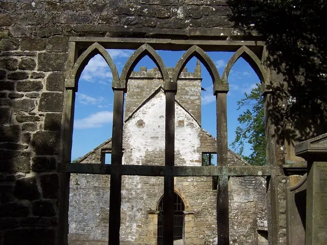
© Chris Heaton · Geograph · CC BY-SA 2.0
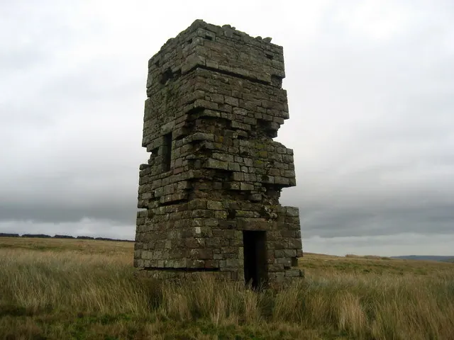
© Chris Heaton · Geograph · CC BY-SA 2.0
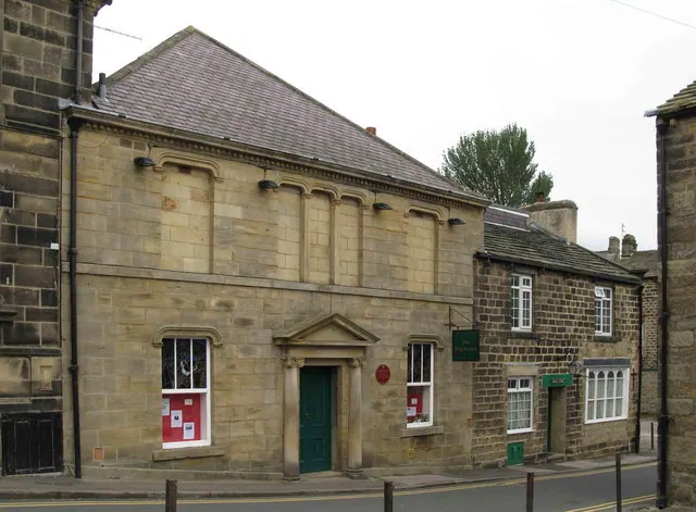
© David Rogers · Geograph · CC BY-SA 2.0
Images © their respective photographers, licensed under CC BY-SA 2.0 and reused here with attribution. Photographs depict listed buildings, churches and monuments near this settlement and may show neighbouring villages.
Data derived from the Open Domesday project (opendomesday.org), based on the Domesday Book dataset compiled by Professor J.J.N. Palmer and team. The Domesday Book (1086) is in the public domain.
Found an inaccuracy? [email protected]