Headingley in the Domesday Book (1086)
The 1086 Domesday survey records the settlement of Headingley, entered under the hundred of Skyrack in Yorkshire.
Other Settlements in Skyrack
- Adel
- Allerton [Bywater]
- Alwoodley
- Arthington
- Austhorpe
- Baildon
- Bardsey
- Barwick [in Elmet]
- Bichertun
- Bicherun
- Bingley
- Birkby [Hill]
- Bramhope
- Burden [Head]
The Meaning of the Name
The name Headingley is of Anglo-Saxon origin. Its final element derives from the Old English word lēah, a woodland clearing or glade. The first element is most likely a personal name or an early descriptive term, now difficult to recover with certainty. Taken together the name probably meant something close to ‘a clearing’.
Remarkably, the name has changed little since 1086, when the Domesday scribes wrote it as Headingley.
Listed Buildings Near Headingley
Historic England records 184 listed buildings within about a mile of Headingley. Listing protects structures of special architectural or historic interest, graded I (exceptional), II* (particularly important) and II.
Grade II
- Claremount and Attached Walls and Gates - 0.33 km
- North Hill House - 0.33 km
- Ashfield - 0.35 km
- Red Hill - 0.37 km
- Wheatfield House - 0.41 km
- 11 and 13, Monk Bridge Road - 0.41 km
- Former Coach House and Stables to Wheatfield House - 0.43 km
- 1-14, Woodbine Terrace Off Grove Lane - 0.44 km
- Front Wall, Gate Piers and Gates to Number 17 - 0.46 km
- Packhorse Bridge Over Meanwood Beck at Ngr 2898 3619 - 0.47 km
- 17, North Hill Road - 0.47 km
- Meanwood Methodist Church - 0.49 km
- Arncliffe - 0.5 km
- 22D, Shire Oak Road - 0.51 km
- Garden Wall to North and West and Summerhouse to West of Arncliffe - 0.52 km
- Ridgeway Cottage - 0.52 km
- 6-12, Monk Bridge Road - 0.52 km
- Coach House Approximately 90 Metres North of Devonshire Hall - 0.54 km
- Ridgeway House - 0.54 km
- Mount St Josephs College of the Blessed Virgin - 0.55 km
- Cumberland Priory - 0.55 km
- Wall to Front Garden of Cumberland Priory With Two Sets of Gate Piers - 0.56 km
- Tannery Cottage and Attached Warehouse to South East of Highbury Works - 0.56 km
- College Building Approximately 25 Metres South of Mount St Joseph’s College - 0.57 km
…and 160 more listed structures in the area.
Headingley Today
Today Headingley lies within the administrative area of Leeds.
Read more about modern Headingley on Wikipedia .
Nearby Domesday Settlements
Other places recorded in the 1086 survey within a few miles:
Heritage Around Headingley
Photographs of churches, listed buildings and monuments in the vicinity, contributed by volunteers to the Geograph project and reused here under a Creative Commons licence.
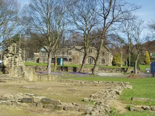
© Rich Tea · Geograph · CC BY-SA 2.0
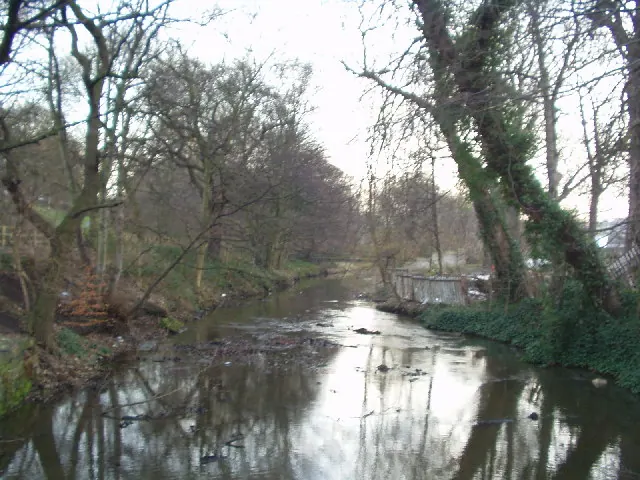
© Rich Tea · Geograph · CC BY-SA 2.0
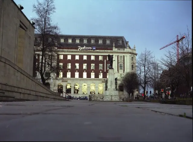
© Mike Wallis · Geograph · CC BY-SA 2.0
Images © their respective photographers, licensed under CC BY-SA 2.0 and reused here with attribution. Photographs depict listed buildings, churches and monuments near this settlement and may show neighbouring villages.
Data derived from the Open Domesday project (opendomesday.org), based on the Domesday Book dataset compiled by Professor J.J.N. Palmer and team. The Domesday Book (1086) is in the public domain.
Found an inaccuracy? [email protected]