Hazelwood Castle in the Domesday Book (1086)
Hazelwood Castle is named in the Domesday Book, compiled by Norman commissioners in 1086, entered under the hundred of Barkston in Yorkshire.
Other Settlements in Barkston
- Barkston
- Barlow
- Birkin
- Bramham
- Brayton
- Burton [Hall]
- Camblesforth
- Carlton
- Clifford
- Drax
- Fairburn
- Grimston [Grange]
- Hambleton
- Hunchilhuse
The Meaning of the Name
The origin of the name Hazelwood Castle is not securely established from its modern form alone; like many settlement names in the North it likely combines an Old English or Old Norse personal name with a landscape term.
Remarkably, the name has changed little since 1086, when the Domesday scribes wrote it as Hazelwood Castle.
Listed Buildings Near Hazelwood Castle
Historic England records 6 listed buildings within about a mile of Hazelwood Castle. Listing protects structures of special architectural or historic interest, graded I (exceptional), II* (particularly important) and II.
Grade I
- Hazlewood Castle - 0.42 km
- Roman Catholic Chapel of St Leonard - 0.45 km
Grade II
- Grooms House and Stable and Walls Adjoining Approximately 20 to North of Castle - 0.44 km
- Cross in Churchyard of St Leonards Chapel - 0.44 km
- St Margarets Guest House and Wall Adjoining Approximately 30 Metres to North of Castle - 0.47 km
- Folly Approximately 80 Metres to North-east of Hazlewood Castle - 0.51 km
Scheduled Monuments Near Hazelwood Castle
Scheduled monuments are nationally important archaeological sites given legal protection. 2 lie within roughly a mile of Hazelwood Castle:
- Roman road near Hazelwood Castle - 0.94 km
- Linear earthwork, part of the Aberford Dyke system, extending 770m east from Humphrey Dale Cottage - 1.39 km
Nearby Domesday Settlements
Other places recorded in the 1086 survey within a few miles:
- Cowthwaite - 2.0 km W
- Monk Hay Stile - 3.2 km W
- Stutton - 3.6 km NE
- Parlington - 3.6 km SW
- Bramham - 3.6 km NW
- Lead - 3.6 km SE
Heritage Around Hazelwood [Castle]
Photographs of churches, listed buildings and monuments in the vicinity, contributed by volunteers to the Geograph project and reused here under a Creative Commons licence.
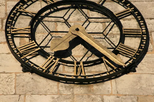
© I Love Colour · Geograph · CC BY-SA 2.0
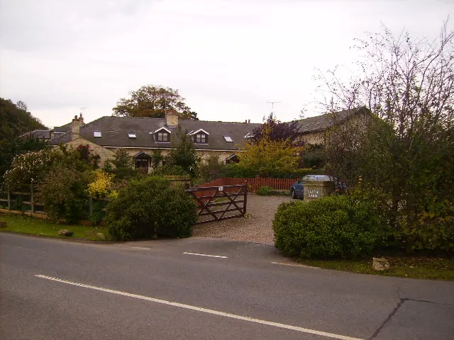
© Phil Catterall · Geograph · CC BY-SA 2.0
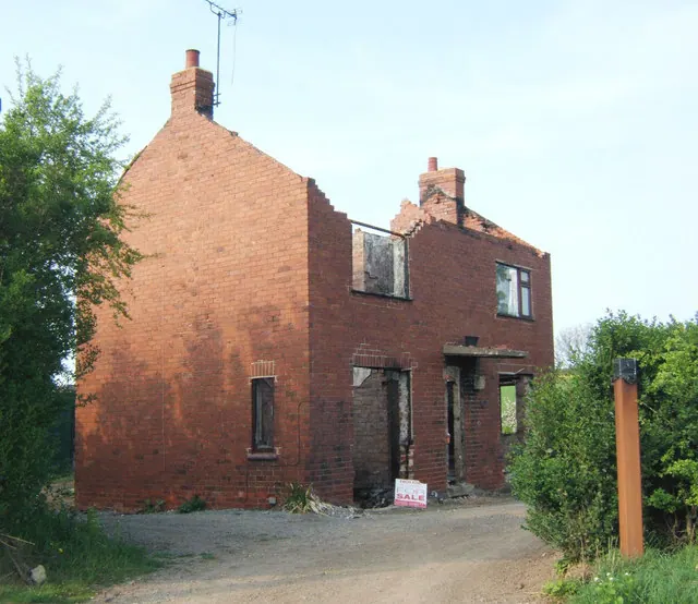
© John Wray · Geograph · CC BY-SA 2.0
Images © their respective photographers, licensed under CC BY-SA 2.0 and reused here with attribution. Photographs depict listed buildings, churches and monuments near this settlement and may show neighbouring villages.
Data derived from the Open Domesday project (opendomesday.org), based on the Domesday Book dataset compiled by Professor J.J.N. Palmer and team. The Domesday Book (1086) is in the public domain.
Found an inaccuracy? [email protected]