Hazelbadge in the Domesday Book (1086)
Hazelbadge is named in the Domesday Book, compiled by Norman commissioners in 1086, entered under the hundred of Blackwell in Derbyshire.
Other Settlements in Blackwell
- Abney
- Ashford [-in-the-Water]
- Aston
- Bakewell
- Bamford
- Baslow
- Beeley
- Birchills
- Birchover
- Blackwell
- Bradwell
- Bubnell
- Burley
- Burton
The Meaning of the Name
The origin of the name Hazelbadge is not securely established from its modern form alone; like many settlement names in the North it likely combines an Old English or Old Norse personal name with a landscape term.
Remarkably, the name has changed little since 1086, when the Domesday scribes wrote it as Hazelbadge.
Listed Buildings Near Hazelbadge
Historic England records 14 listed buildings within about a mile of Hazelbadge. Listing protects structures of special architectural or historic interest, graded I (exceptional), II* (particularly important) and II.
Grade II*
- Hazlebadge Hall - 0.64 km
Grade II
- Lyndale House, coach house and pigsty - 0.59 km
- Brook House - 0.61 km
- Barn to North of Hazlebadge Hall - 0.62 km
- Church of St Barnabas - 0.62 km
- Hazlebadge Farmhouse and Attached Barn - 0.66 km
- Methodist Church - 0.7 km
- Stanley House and Attached Stableblock - 0.74 km
- Sidney Cottage - 0.75 km
- Joiners Cottage - 0.76 km
- The White Hart Inn - 0.77 km
- Scout Headquarters - 0.84 km
- Hartlemoor Farmhouse - 1.25 km
- Smalldale Hall and Smalldale Hall Farmhouse and Attached Barn - 1.3 km
Scheduled Monuments Near Hazelbadge
Scheduled monuments are nationally important archaeological sites given legal protection. 2 lie within roughly a mile of Hazelbadge:
- Platform cairn south of Hill Rake - 0.32 km
- The Grey Ditch - 1.1 km
Nearby Domesday Settlements
Other places recorded in the 1086 survey within a few miles:
Heritage Around Hazelbadge
Photographs of churches, listed buildings and monuments in the vicinity, contributed by volunteers to the Geograph project and reused here under a Creative Commons licence.
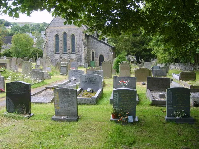
© William Metcalfe · Geograph · CC BY-SA 2.0
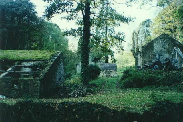
© Humphrey Bolton · Geograph · CC BY-SA 2.0
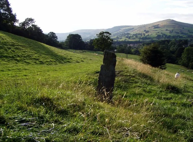
© Mark Dunn · Geograph · CC BY-SA 2.0
Images © their respective photographers, licensed under CC BY-SA 2.0 and reused here with attribution. Photographs depict listed buildings, churches and monuments near this settlement and may show neighbouring villages.
Data derived from the Open Domesday project (opendomesday.org), based on the Domesday Book dataset compiled by Professor J.J.N. Palmer and team. The Domesday Book (1086) is in the public domain.
Found an inaccuracy? [email protected]