Hayfield? in the Domesday Book (1086)
The 1086 Domesday survey records the settlement of Hayfield?, entered under the hundred of Blackwell in Derbyshire.
Other Settlements in Blackwell
- Abney
- Ashford [-in-the-Water]
- Aston
- Bakewell
- Bamford
- Baslow
- Beeley
- Birchills
- Birchover
- Blackwell
- Bradwell
- Bubnell
- Burley
- Burton
The Meaning of the Name
The name Hayfield? is of Anglo-Saxon origin. Its final element derives from the Old English word feld, open country. The first element is most likely a personal name or an early descriptive term, now difficult to recover with certainty. Taken together the name probably meant something close to ‘a open land’.
Remarkably, the name has changed little since 1086, when the Domesday scribes wrote it as Hayfield?.
Listed Buildings Near Hayfield?
Historic England records 32 listed buildings within about a mile of Hayfield?. Listing protects structures of special architectural or historic interest, graded I (exceptional), II* (particularly important) and II.
Grade II
- 13, Kinder Road - 0.46 km
- 17, 19 and 21, Kinder Road - 0.47 km
- Throstle Farmhouse - 0.48 km
- 25, 27 and 29, Cote Lane - 0.5 km
- Church of St Matthew - 0.52 km
- The Bridge - 0.52 km
- Royal Hotel - 0.53 km
- Fox Hall Barn - 0.53 km
- 1, Steeple-End Fold - 0.54 km
- Formerly Bull’s Head Inn - 0.55 km
- Fox Hall - 0.56 km
- 4, 6, 8 and 10, Church Street - 0.56 km
- 22, New Mills Road - 0.6 km
- The Spinnery - 0.62 km
- Barn at Ivy Farmhouse - 0.62 km
- 41, New Mills Road - 0.62 km
- 49, New Mills Road - 0.63 km
- Methodist Chapel - 0.63 km
- Kinder Lodge - 0.63 km
- 51, New Mills Road - 0.63 km
- Barn Opposite the Birches - 0.63 km
- 22 and 24, Church Street - 0.64 km
- Ivy Farmhouse - 0.65 km
- 4, New Mills Road - 0.66 km
…and 8 more listed structures in the area.
Hayfield? Today
Today Hayfield? lies within the administrative area of High Peak, and the settlement recorded a population of 2,600 at the 2021 census. Nine and a half centuries separate that figure from the small rural community the Domesday survey recorded here in 1086.
Read more about modern Hayfield on Wikipedia .
Nearby Domesday Settlements
Other places recorded in the 1086 survey within a few miles:
- Thornsett - 2.2 km SW
- Kinder - 3.0 km E
- Chunal - 4.0 km N
- Chisworth and Higher Chisworth - 5.6 km NW
- Charlesworth - 5.8 km NW
- Whitfield - 6.0 km N
Heritage Around Hayfield?
Photographs of churches, listed buildings and monuments in the vicinity, contributed by volunteers to the Geograph project and reused here under a Creative Commons licence.
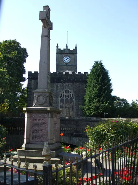
© Kenneth Allen · Geograph · CC BY-SA 2.0
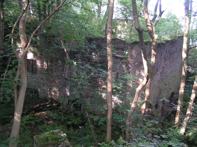
© Dave Dunford · Geograph · CC BY-SA 2.0
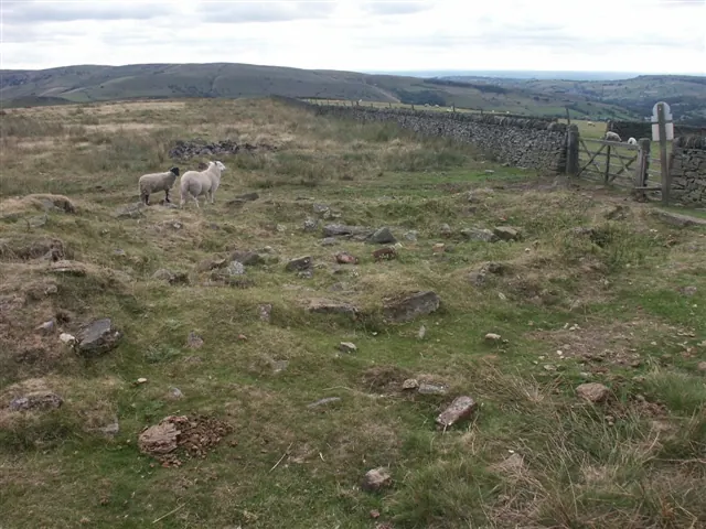
© Katy Walters · Geograph · CC BY-SA 2.0
Images © their respective photographers, licensed under CC BY-SA 2.0 and reused here with attribution. Photographs depict listed buildings, churches and monuments near this settlement and may show neighbouring villages.
Data derived from the Open Domesday project (opendomesday.org), based on the Domesday Book dataset compiled by Professor J.J.N. Palmer and team. The Domesday Book (1086) is in the public domain.
Found an inaccuracy? [email protected]